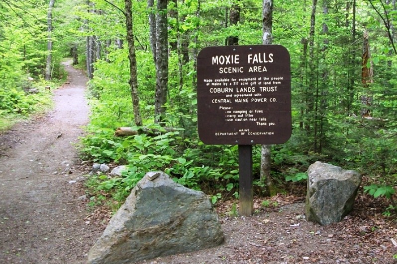
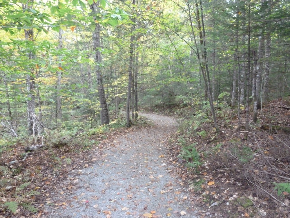
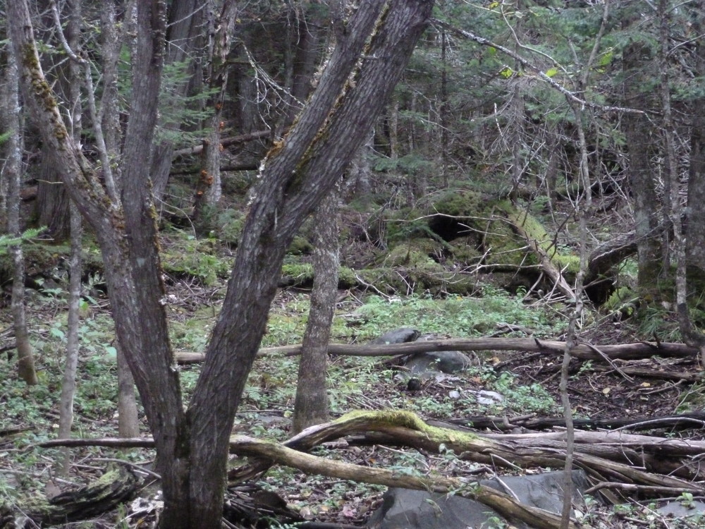
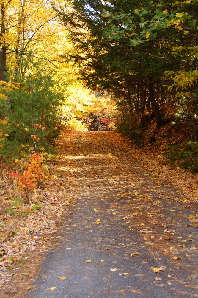
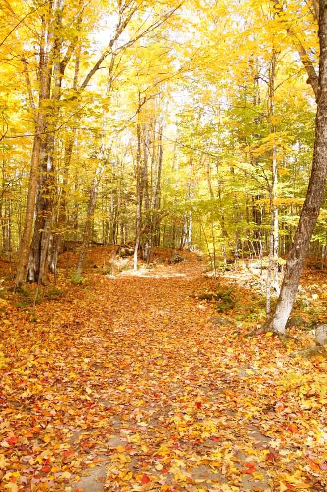
The first half of the Moxie Falls Trail is highly accessible and passes through pleasant mixed woods as it travels towards the falls. This section of trail is gravel-surfaced and compacted forest floor/dirt. The trail's typical width is 8' with sections that are 3’ wide. The typical slope of this section is 0%-5% with a maximum slope of 10%. Cross slopes are minimal with a maximum of 4%.
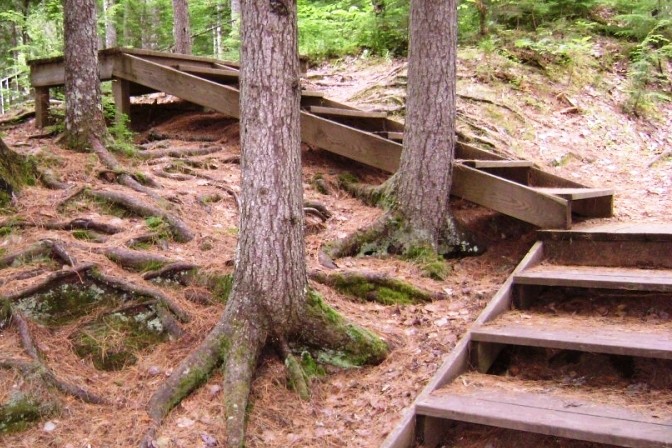
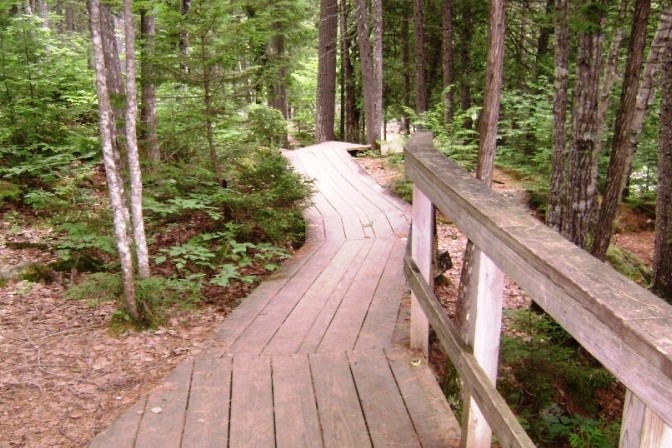
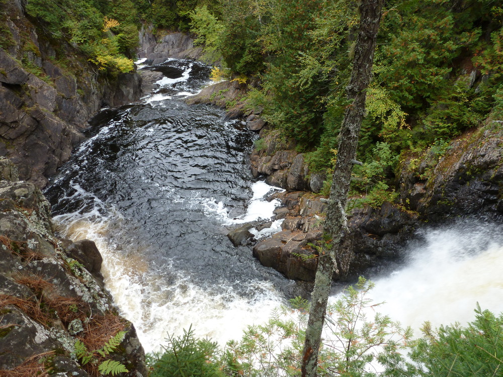
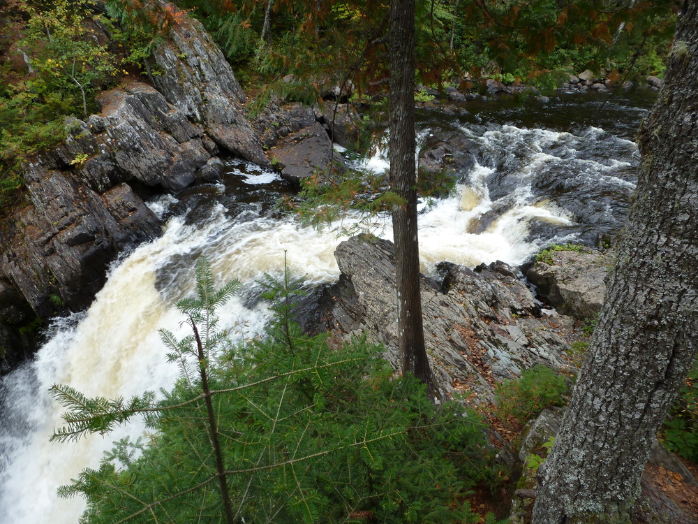
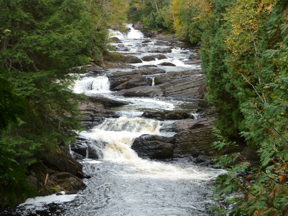
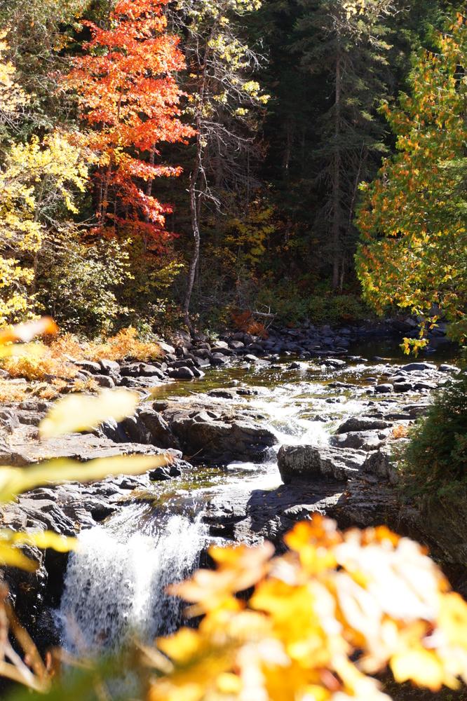
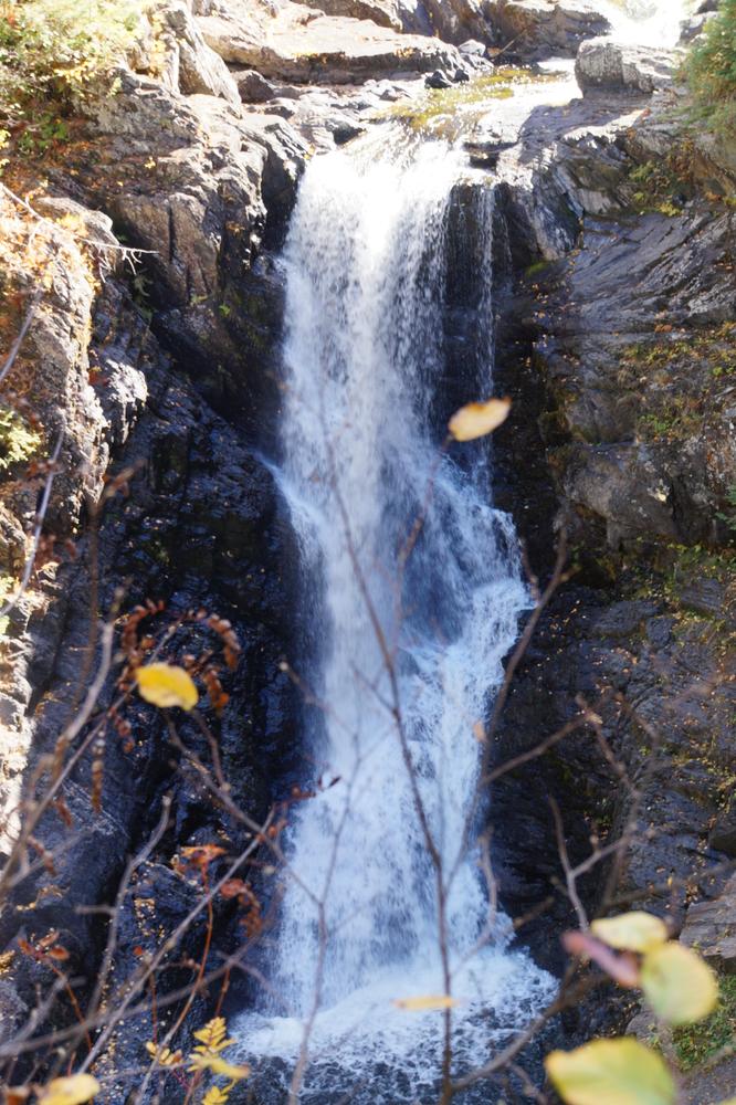
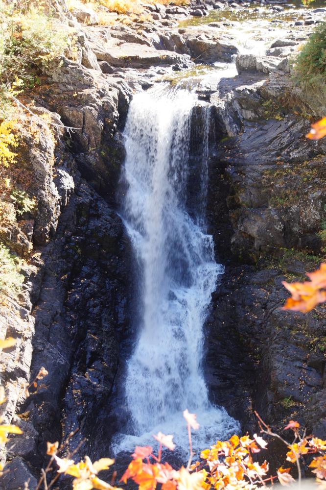
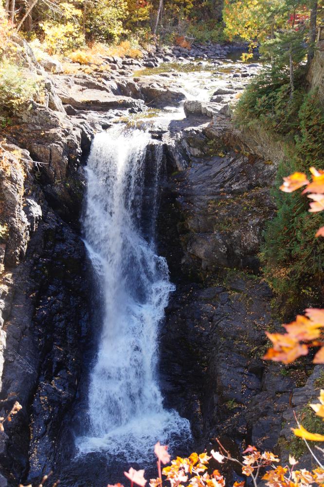
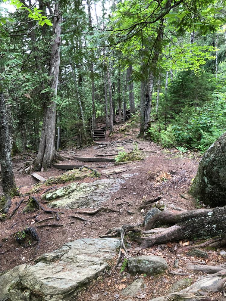
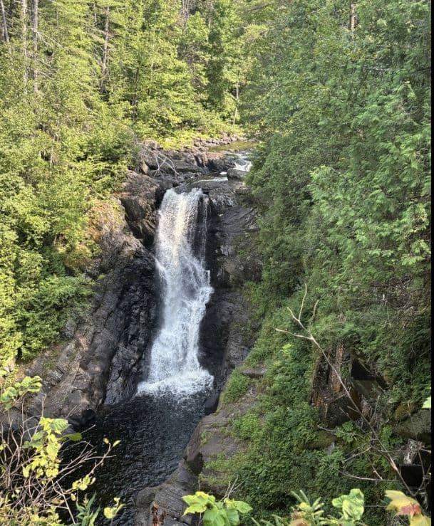
Approximately halfway down the trail, approximately ½ mile in, a woods road is crossed. There is a welcome sign here, which serves as a good landmark indicating the falls are not too far away. This is a good turn around spot for anyone using wheeled mobility equipment or pushing a stroller. From here, the trail begins to become a little steeper and includes stairs, though it still is not too steep by hiking standards. Shortly thereafter, visitors encounter a series of wooden stairs and boardwalks providing access over the rugged terrain surrounding the falls.
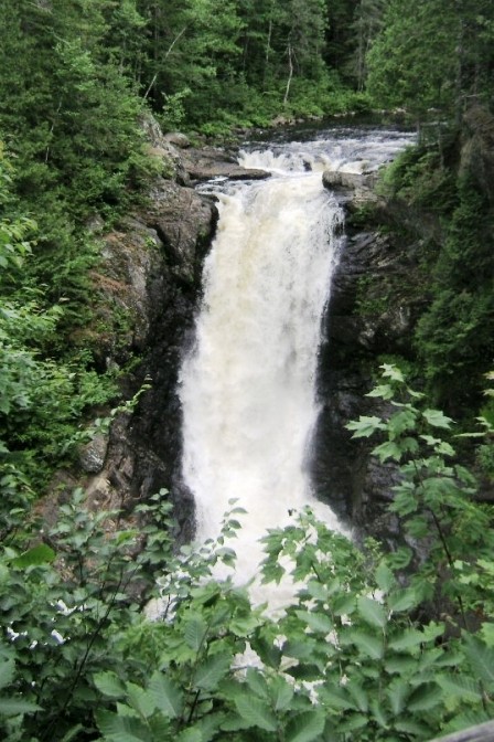
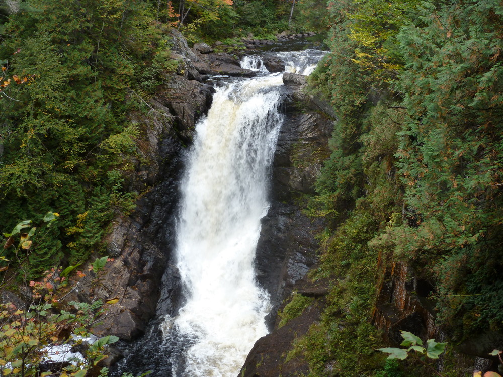
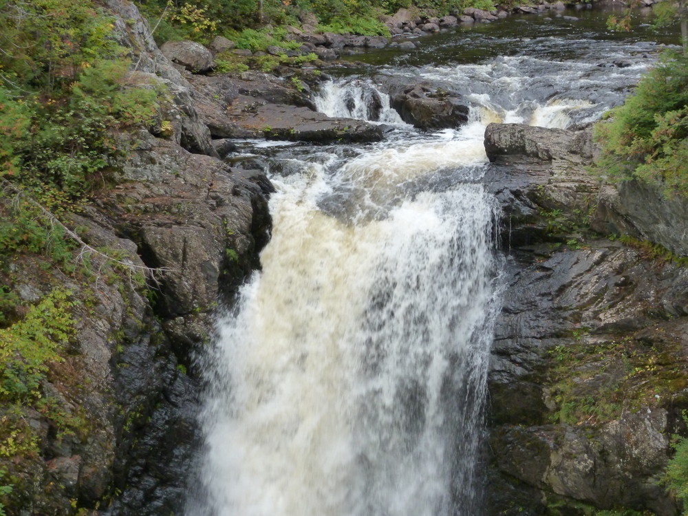
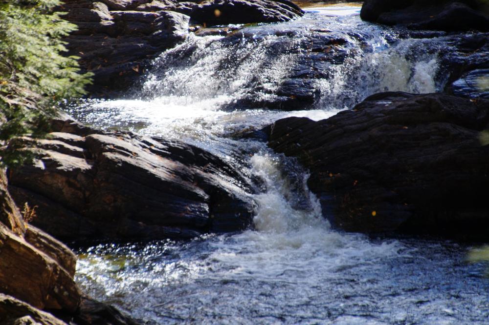
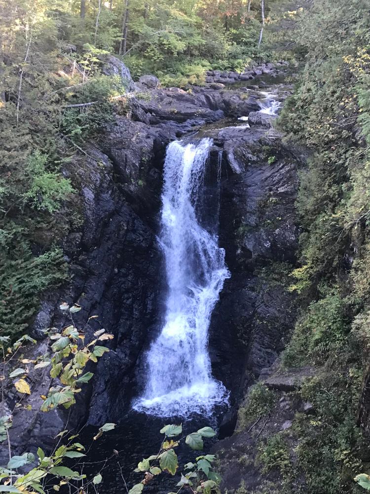
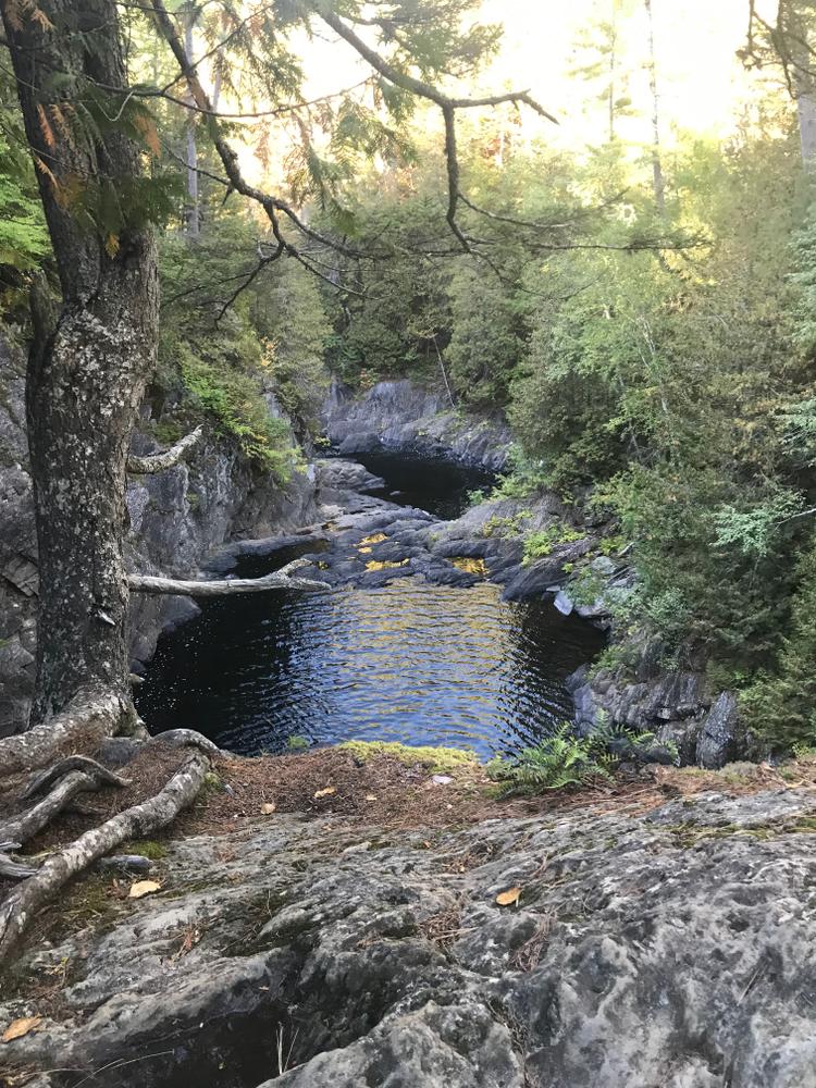
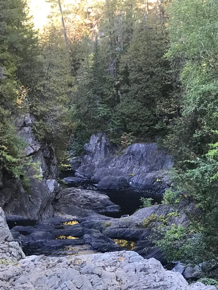
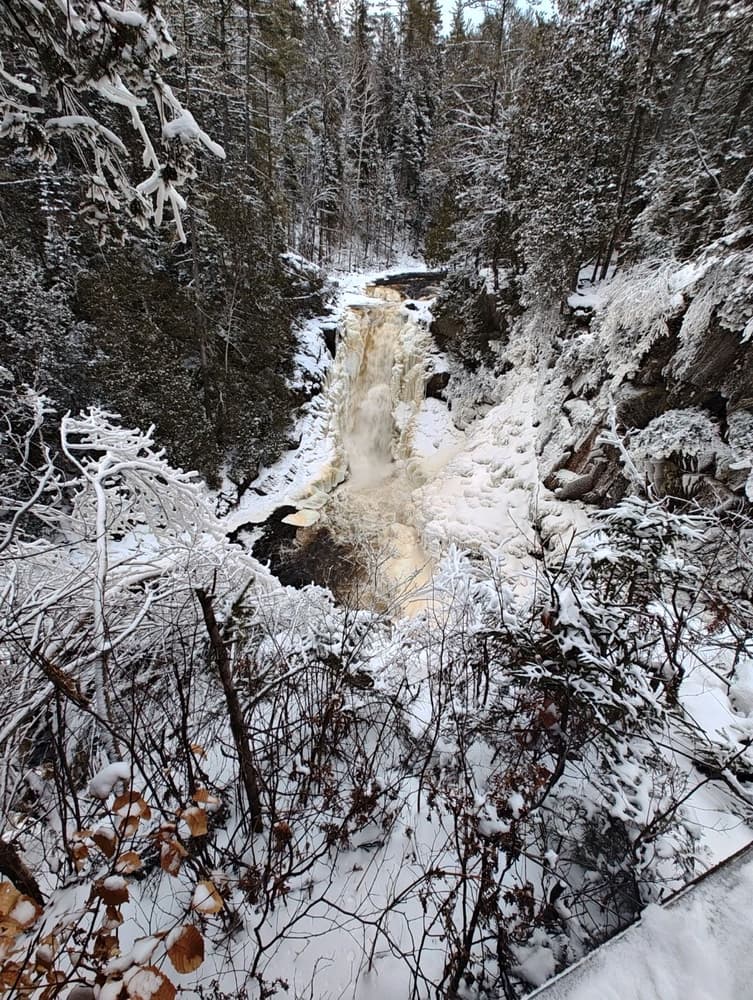
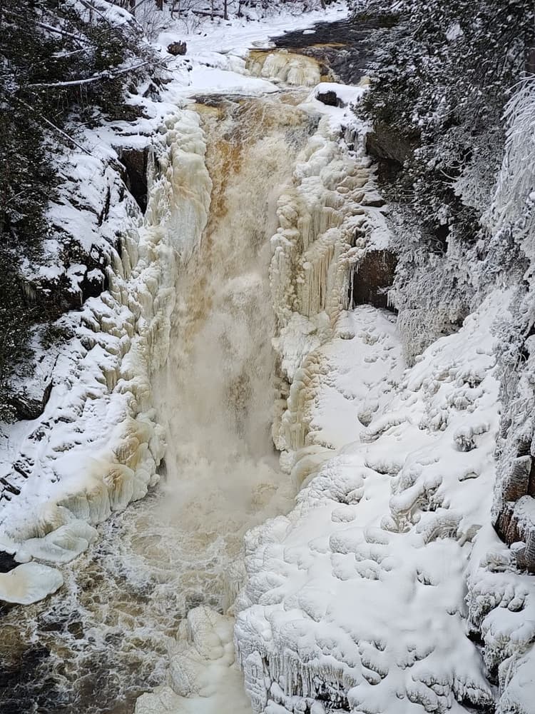
There are several wooden observation platforms providing a number of different vantage points on the falls. Return to the trailhead by retracing your route.
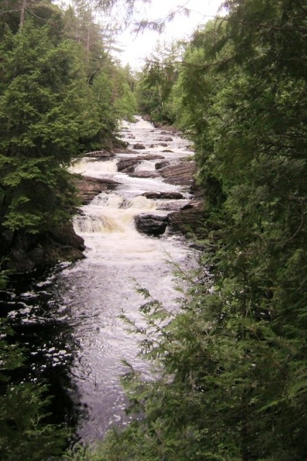
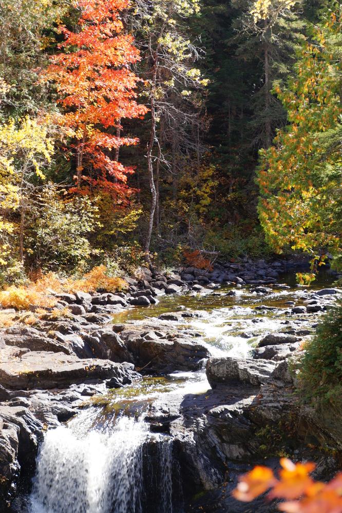
Camping is not allowed at the falls; there are private camping and lodging opportunities in the region. Care should be taken while visiting the falls. Swimming under the falls is allowed but should only be undertaken with due caution. Moxie Stream flows into the scenic Kennebec River Gorge, a major rafting and white-water kayaking destination. Commercial rafting operators provide daily rafting trips during summer months.
Visit Maine Bureau of Parks and Lands online for more information or contact:
![]()
The township of Moxie Gore is located approximately 50 miles north of Skowhegan on US Route 201. Upon reaching the small village of The Forks, look to turn right onto Moxie Pond Road (Lake Moxie RD on DeLorme's Maine Atlas & Gazetteer). This paved road is immediately before the bridge over the Kennebec River. There is a rest area between the Moxie Pond Road and the river. The trailhead is located approximately 2.3 miles further on this road on the left.
Success! A new password has been emailed to you.