On the southern portion of the hourglass-shaped island are various easy hiking trails that extend through fields and along the water’s edge. The trails offer an unusual ecosystem of coastal tundra with moss, lichens and alpine plants, as well as tidal pools along the rocky shore.
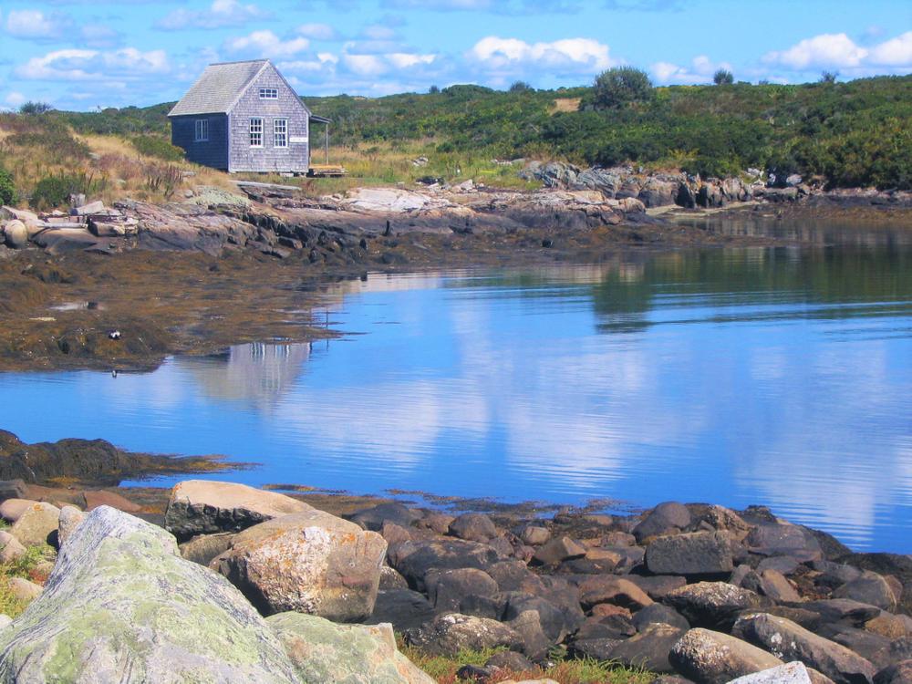
The 1.4 mile Pond Loop heads north from the dock, passing stone foundations of early farms, salt marshes, an unusual six-acre freshwater pond, and a cobble beach. A 0.3 mile trail breaks off from the Pond Trail on the east half of the island, heading south to the East Tower.
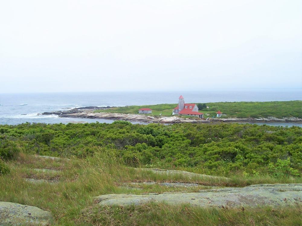
On the west half of the island, the Little Damariscove Trail travels south for 0.3 miles, past the coast guard station, to a narrow cove.
The northern half of Damariscove is a protected bird nesting area without trails; access to this area is prohibited during the summer nesting season.
Numbered signs on the trails refer to historic sites, and lettered signs indicate distinct ecosystems. Please visit the little museum at the head of the harbor to learn about these locations, as well as information about the island’s fauna, flora, and rich history. Seasonal caretakers live on the island and may be available to answer questions.
The former Coast Guard station near the harbor is privately owned. Please respect this private property and stay on the marked trails at all time.
The stone pier in the harbor is used by local fishermen as a working waterfront. Visitors are asked not to disturb commercial fishing gear stored at the pier.
Because of the nesting birds and the fragile ecosystem, no dogs are permitted on Damariscove at any time.
For more information, visit the Boothbay Region Land Trust website, or contact:
Boothbay Region Land TrustDamariscove Island is a 210-acre historic island six miles out to sea from Boothbay Harbor in open ocean and is accessible to boaters. It offers an excellent, tiny protected harbor with two BRLT courtesy moorings available to the public for up to 24 hours. Tie-ups are not permitted on the stone pier, but two courtesy dinghies are available for boaters to use in the harbor.
Success! A new password has been emailed to you.