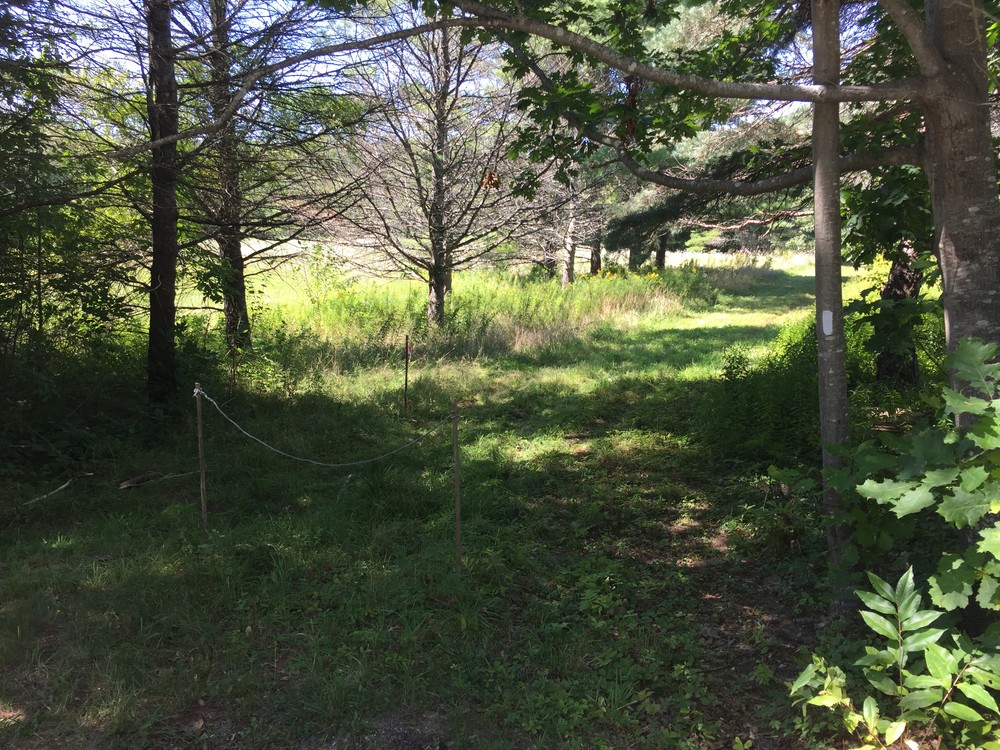
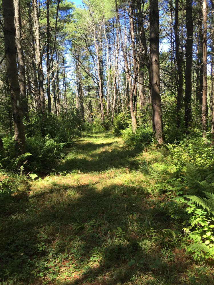
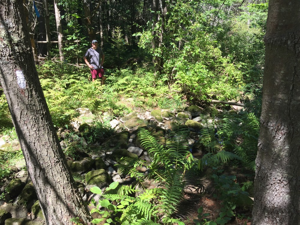
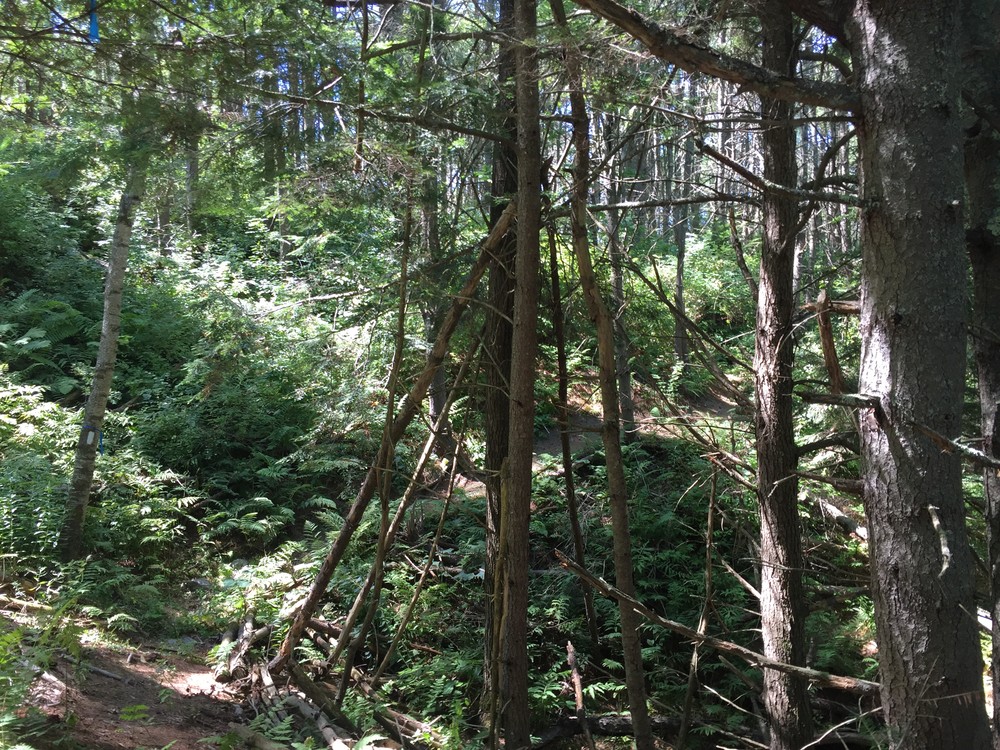
The trail starts on a grass road barred from vehicles by a small rope barrier. The road follows the edge of a field that is dotted with wild flowers in the summer. At the end of the field the trail traverses some slightly overgrown plank bridges and enters a single-track woods trail. On the single-track, the quality of the trail varies as it climbs short (but sometimes steep) hills and crosses a steam. While some parts of the trail are not well worn, there are plenty of blazes on the trees to indicate the way.
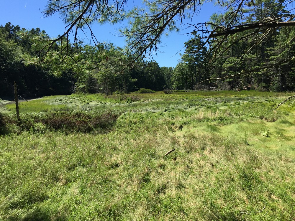
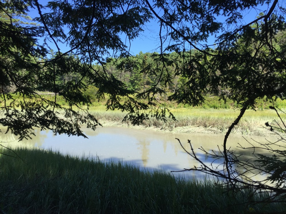
The trail then comes to an old grassy forest road and winds down to the shore of the estuary on the forest road. From there, the trail switches back to single-track and climbs up a short but steep hill. After moving through the woods for a time, the trail comes to a point of land that sticks out slightly in the estuary and offers views of the water. This is the terminus of the trail; to return to the trailhead, users must return the way they came.
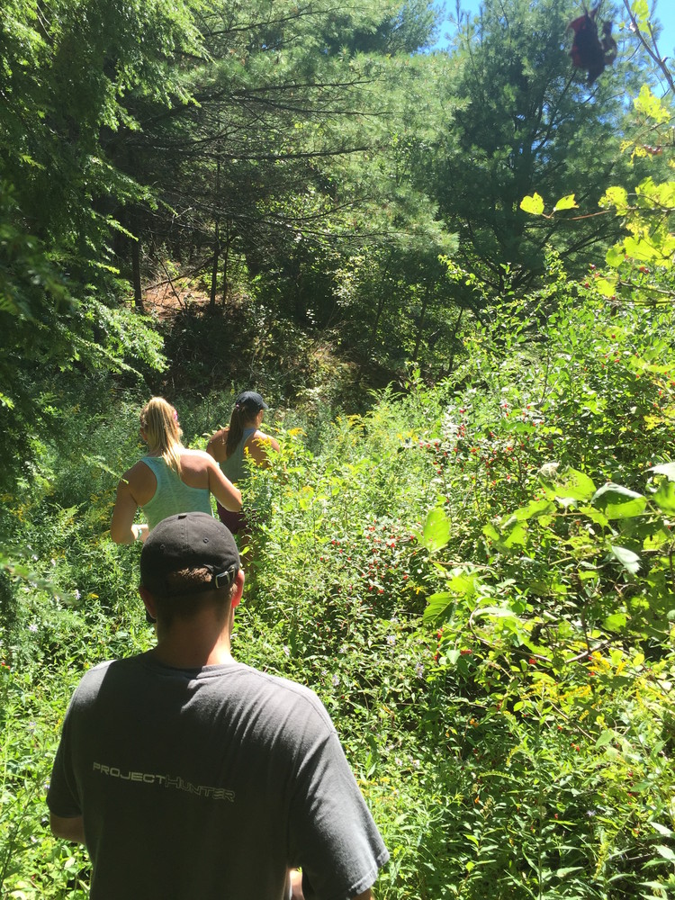
Because there are parts of the trail that are overgrown and contain pricker bushes, wearing pants is recommended. In addition, bug spray is highly recommended because the trail skirts the water.
Visit Freeport Conservation Trust online for more information, or contact:
Freeport Conservation TrustFrom central Freeport, turn off of US-1 onto Bow Street and continue for 1 mile. Bow Street will become Flying Point Road, continue for another 1.3 miles. Turn right onto Wolfe's Neck Road and continue for 0.3 miles. The trailhead is located on the right side of the road just before an open field. The trailhead is marked only with a small rope barrier that bars cars from driving down the grass road that the trail starts on.
There is currently no designated parking area for this trail.
Success! A new password has been emailed to you.