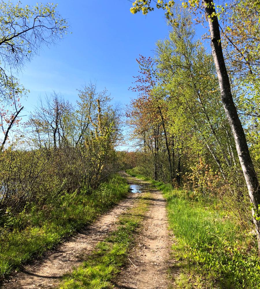
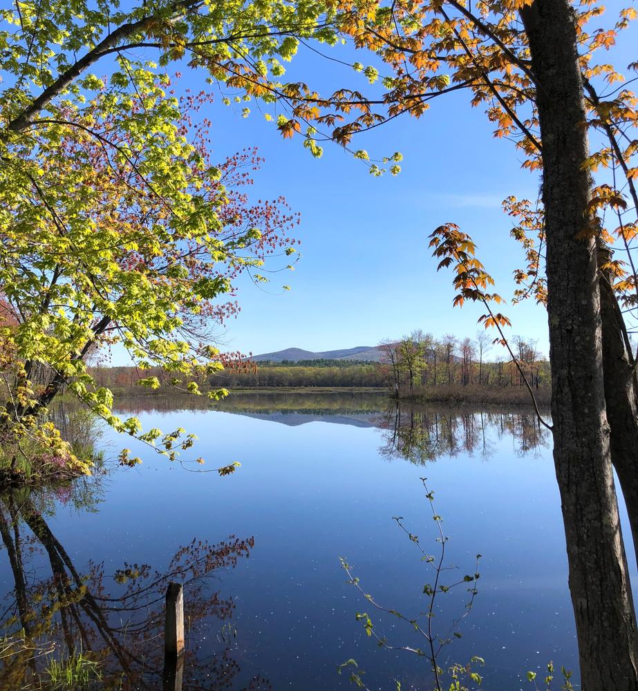
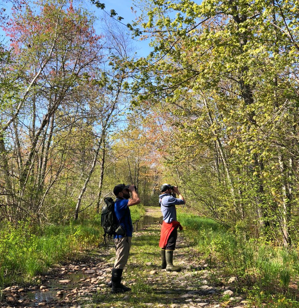
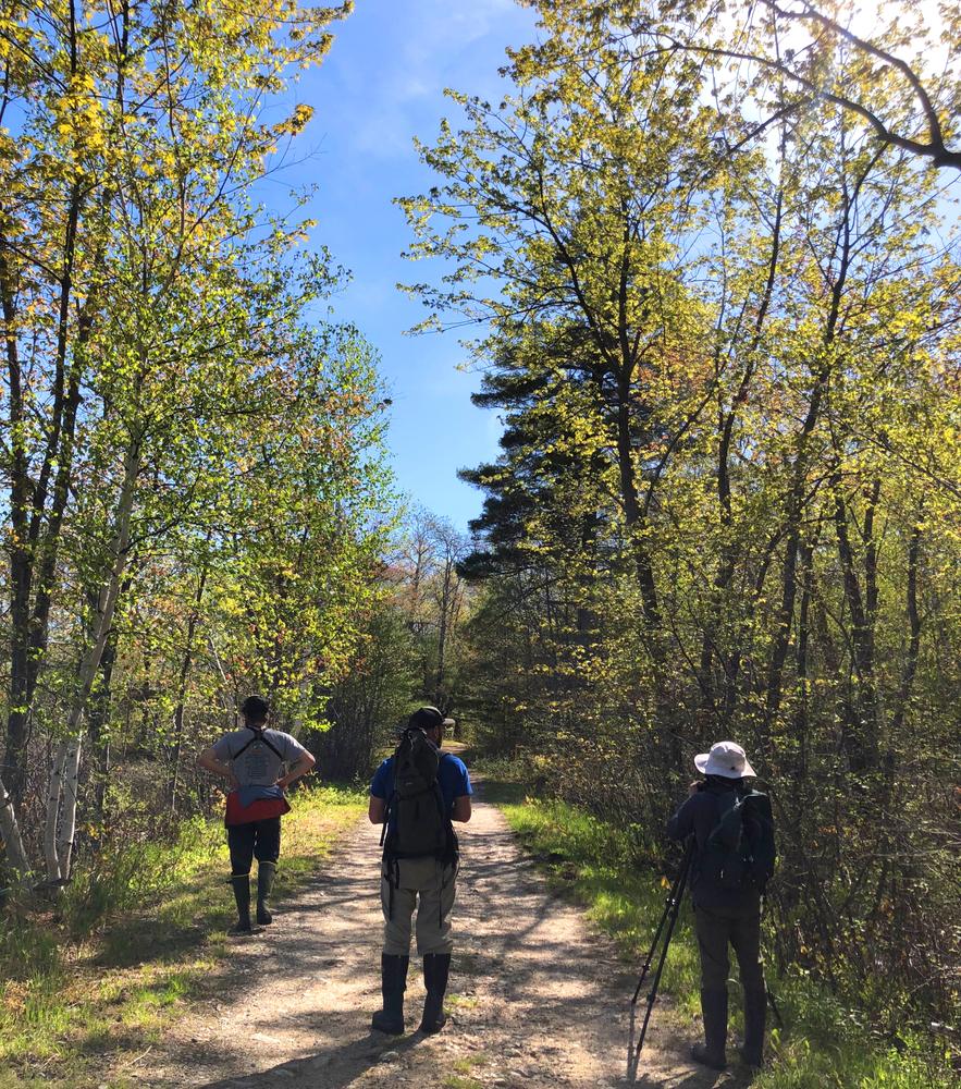
The Bog Road and Island Road Trails are part of a network consisting of wide roads through the wildlife management area. It attracts people who enjoy wildlife and nature walks as well as those who like to drive and sight-see. This peaceful site is worth visiting for many reasons, and is particularly valued by Maine birders as it contains species more commonly found in southern New England. Pleasant Mountain and other hills provide a backdrop to the bog.
The Bog Road Trail begins at the west end of Bog Road, and travels 2 miles northeast along the dirt road, making for an out and back trip of 4 miles. At the boat launch 0.8 miles in, and at additional locations further up, there are swimming spots in the Saco River if it is a scorcher!
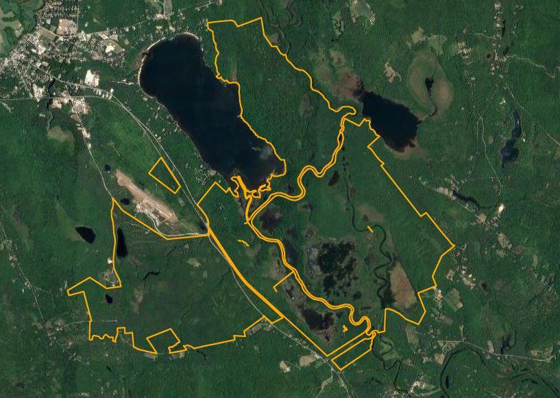
The Island Road Trail provides access to the northern section of the WMA. It travels southeast along the dirt raod through forest for 2 miles, where it takes a bend to the southwest, and continues another 0.5 miles to the shore of Lovewell Pond.
Allowed recreational activities include hiking, biking, canoeing, fur trapping, ice fishing, hunting (big game, small game, upland game, waterfowl), inland fishing (cold water species, warm water species), and wildlife watching (eagles, osprey, deer, water birds).
The management area contains approximately 5,700 acres of predominantly floodplain wetlands in the Saco River valley. It supports a variety of game species and non-game wildlife. Common species include deer, ruffed grouse, snowshoe hare, and American woodcock. Common furbearers include: fisher, bobcat, coyote, red fox, raccoon, beaver, otter, muskrat, and mink. Waterfowl such as black ducks, ring-necked ducks, mallards, blue-winged teal, wood ducks, hooded mergansers, goldeneyes, and Canada geese, use the area's many wetlands during migration and breeding season.
Hunting, bird watching, canoeing, trapping, fishing, and snowmobiling are the major recreational uses at this WMA.
Fishing is available in the Saco, Shepards, Little Saco Rivers, and Clay Brook. Shepards and Little Saco Rivers support a wild brook trout fishery while Clay Brook is stocked with brook trout. The Saco River contains small numbers of brook and brown trout, and landlocked salmon, as well as better numbers of small-mouth bass, yellow perch and chain pickerel.
For additional information, visit the Maine Department of Inland Fisheries & Wildlife website, or contact:
Maine Department of Inland Fisheries and WildlifeISLAND ROAD TRAILHEAD, FRYEBURG
From US-302 in Fryeburg, turn south on Battleground Road (1.8 miles east of US-302's intersection with ME-5, and 1.6 miles west of the bridge over the Saco River). Go 0.2 miles on Battlegournd Road then turn left on Island Road. Go 0.3 miles to the the gate and park along the road.
BOG ROAD TRAILHEAD, BROWNFIELD
From Denmark, take ME-160 north to Lords Hill Road, and then immediately bear left onto the Bog Road. Proceed to a quarter-mile to a gate. In the spring, the gate might be closed due to flooding of the road, in which case one may park at this first gate. If the first gate is open, drivers may optionally continue an additional half-mile to the second gate to park, where there is an informational kiosk, and a hand-carry boat launch on the Saco River.
PLEASE obey seasonal road closure signs. Depending on the season the road can flood, and is not suitable for motor vehicle use.
Success! A new password has been emailed to you.