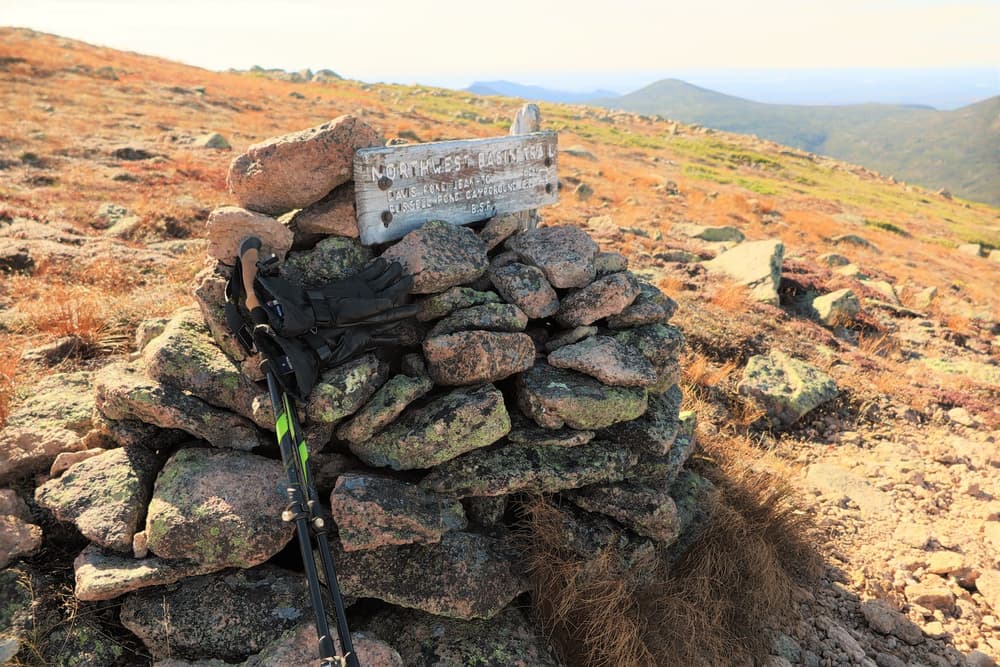
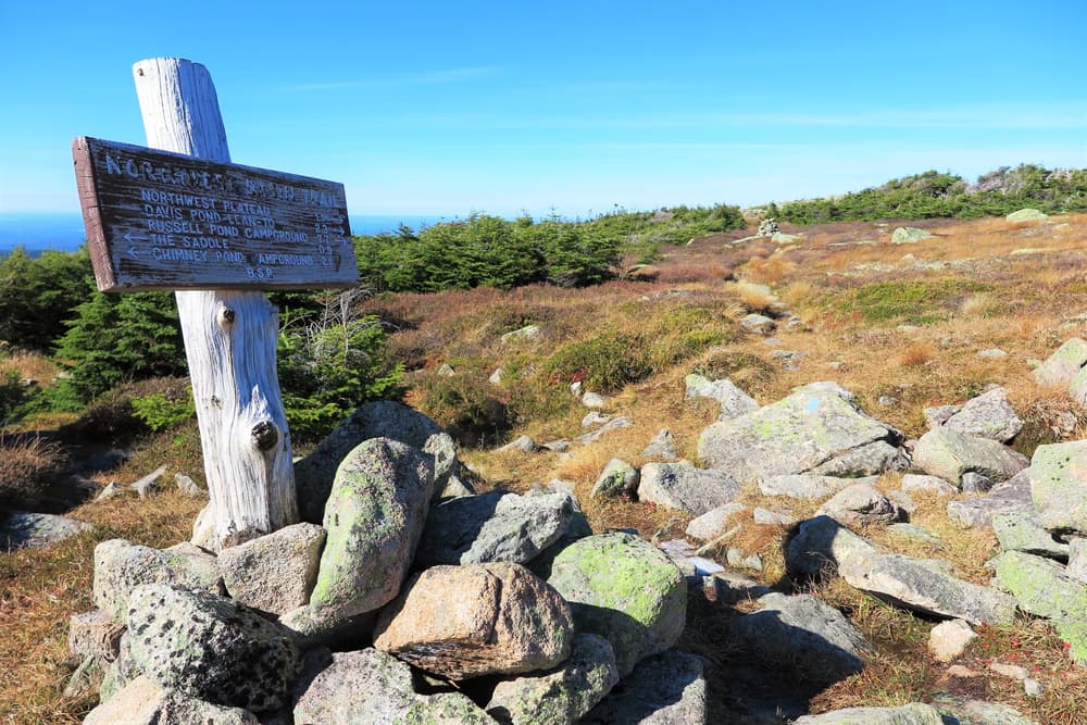
Northwest Basin Trail (8.4 miles)
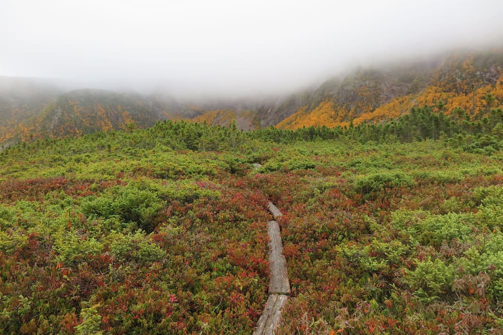
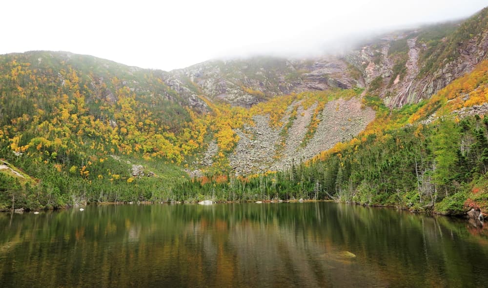
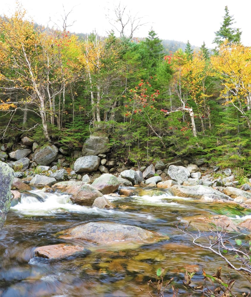
The Northwest Basin is a large, glacial cirque hidden away in a tangle of valleys and ridges at the upper reaches of the Wassataquoik watershed. As its mouth faces northwest, it is hidden from any of the Park’s roads and most other trails. In size, the basin is somewhere between the better-known Great and North Basins. Its sheer headwalls and cliffs rival its bigger brother to the south. Its utter remoteness offers a true wilderness experience.
Lake Cowles and Davis Pond are nestled in the floor of the basin. Lake Cowles is a particularly large pond of the type that is normally formed in the floors of cirques. There is a reservable lean-to (4-person capacity) located near the shore of Davis Pond. The lean-to provides the opportunity to traverse this over two days from Russell Pond, Chimney Pond, or Roaring Brook. Special policies apply to the reservation of this lean-to.
The preferred way to visit these trails is an overnight trip, though strong hiking parties could manage accessing by very long day hikes. The basin is a 10-mile round trip day hike from Russell Pond; or a more difficult 9 miles, requiring two major ascents, from Chimney Pond. Either route requires a backpacking approach, from Russell Pond or Chimney Pond campgrounds. An overnight stay at Davis Pond is the best option.
North Peaks Trail (5.7 miles)
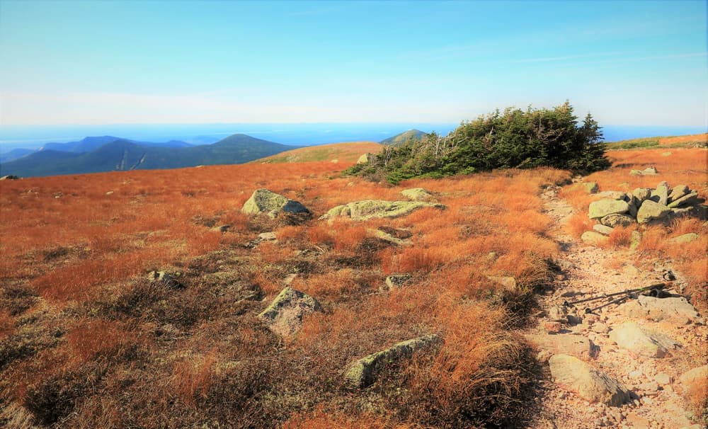
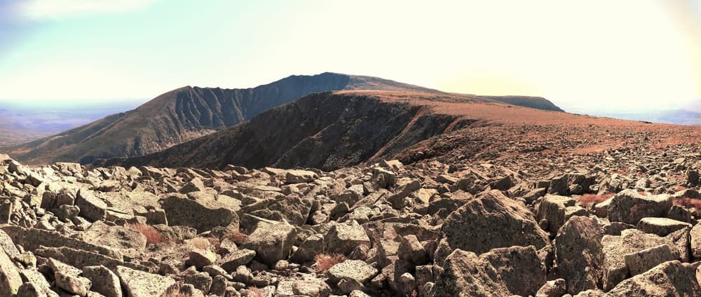
The North Peaks Trail provides more direct access to the high peaks on the northern part of Katahdin than does the Northwest Basin Trail. It is a more gradual ascent, and is mostly closed in by tree growth until the trail rises above the treeline to spectacular views. The total elevation gain to Hamlin Peak is 3,418 feet.
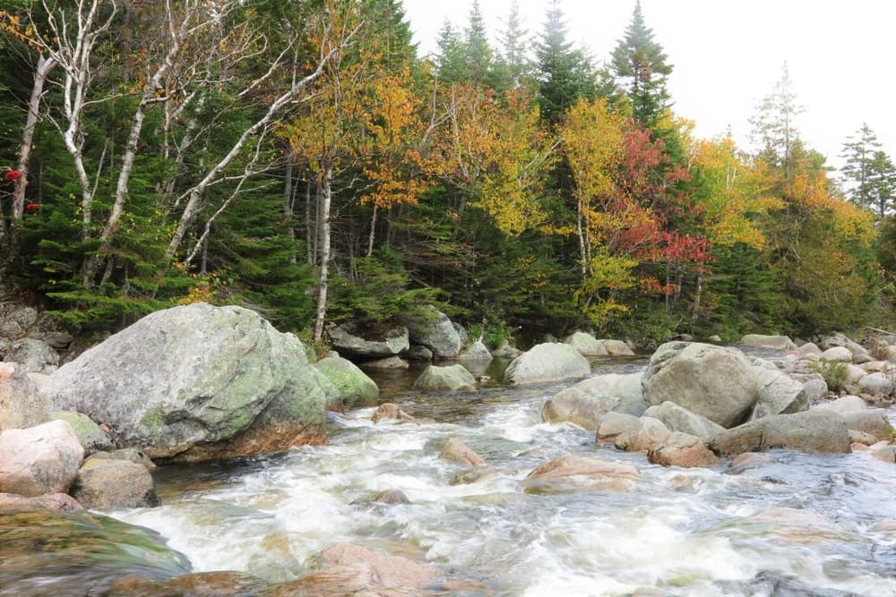
The route follows the general line of the old Tracy and Love Trail of 1887. It leaves the Northwest Basin Trail at 1.2 miles from Russell Pond, follows Tracy Brook south, then breaks above tree line and climbs over the long, exposed North Peaks and ends at Hamlin Peak. It can be undertaken as a day hike from Russell Pond, particularly combined with the Northwest Basin Trail to form a loop. However, this loop makes for a very long day (approx. 10 hours round trip) and should be attempted only by strong parties.
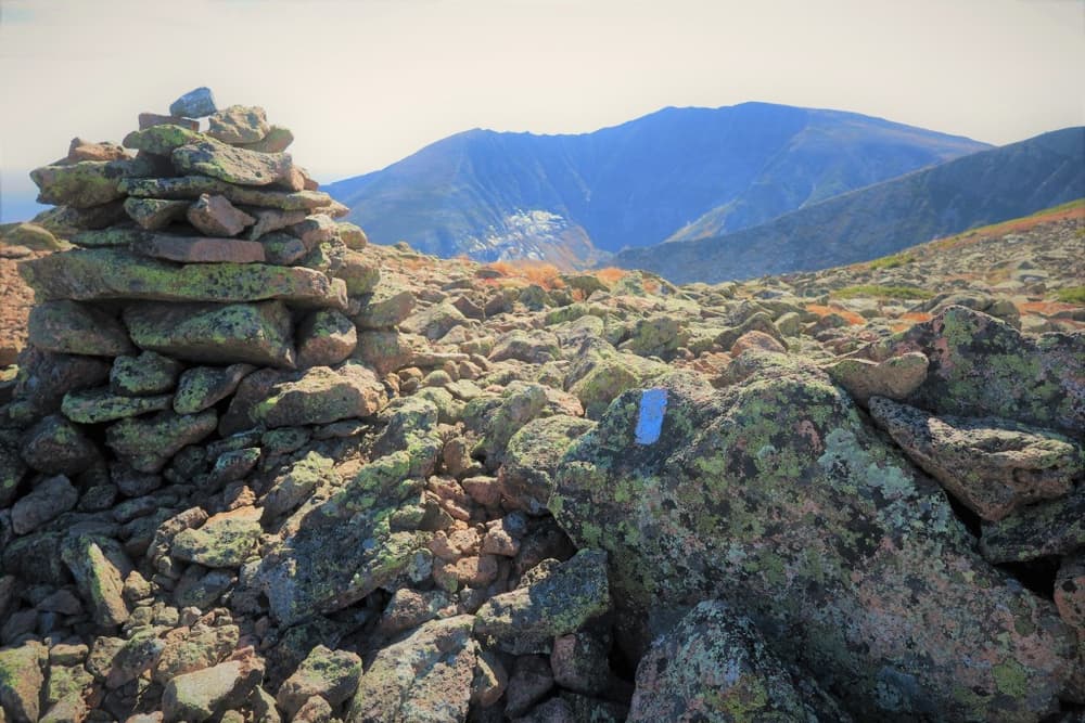
Saddle Trail to Baxter Peak (0.9 miles)
From the Northwest Basin Trail, the North Peaks Trail, or a loop formed utilizing both, Hamlin Peak (elevation 4,756 feet) makes a wonderful destination. For those wishing to include Baxter Peak in their hike, the Northwest Basin Trail meets up with the Saddle Trail about a mile south of Hamlin Peak. It is another 0.9 miles from this junction up to Baxter Peak (elevation 5,267 feet).
Park Fees: See website for entrance and camping fees. [No entrance fee for Maine residents.]
Park Rules: See a more complete list here.
For additional information, visit the Baxter State Park website, or contact:
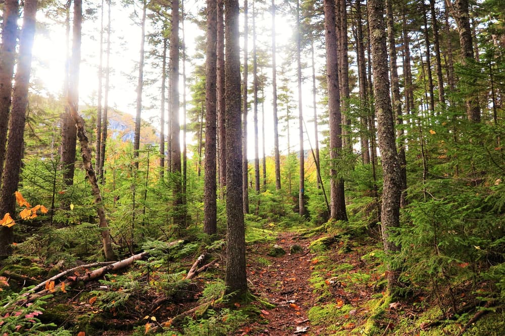
Baxter State Park AuthorityThese trails are primiarly accessed from Russell Pond Campground, which is a backcountry, hike-in only, campground. Hikers will need to park at Roaring Brook Campground and hike in from there, from either the Russell Pond & Wassataquoik Stream trails, or hike in via the Katahdin East Side trails.
Roaring Brook Campground is reached via the Togue Pond Gatehouse (South Gate) of Baxter State Park. From downtown Millinocket, travel 16 miles northwest on the paved Baxter Park Road to the Togue Pond Gatehouse, passing buildings and the Golden Road Crossing after eight miles. After entering the park at Togue Pond Gate, bear right and continue onto the Roaring Brook Road for 7.9 miles. Roaring Brook Road ends at Roaring Brook Campground. Park in the day-use lots straight ahead if not camping. The trailheads are located at the north end of this parking area near the Roaring Brook Ranger Station.
Success! A new password has been emailed to you.