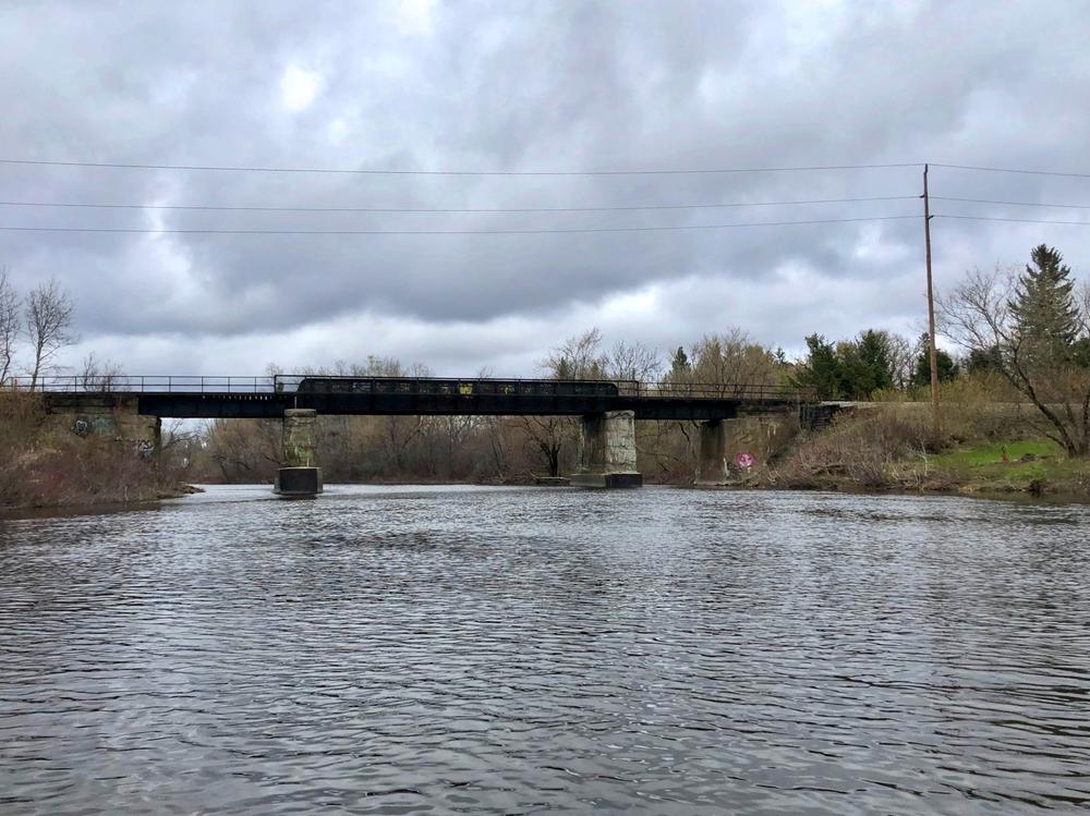
This trip travels 4 miles from downtown Presque Isle up to the north branch of Presque Isle Stream, then returns downstream along the same route. The stream is generally broad and entirely flat. At times of high water paddlers may notice a small current to paddle up, but not enough to be at all challenging.
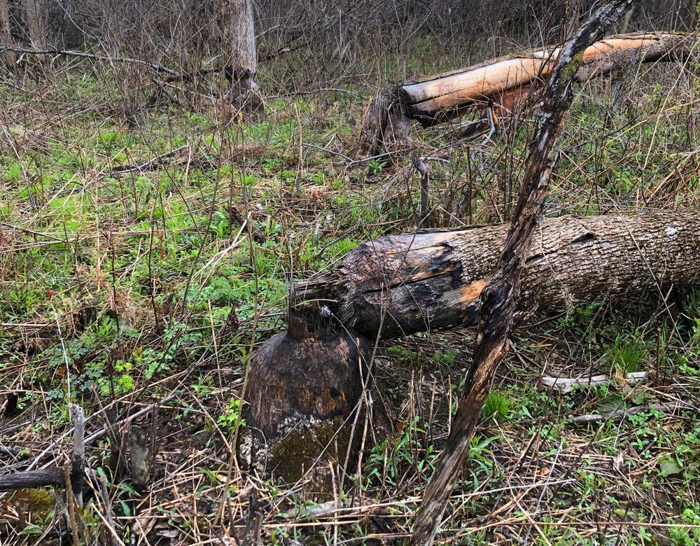
The route begins in downtown Presque Isle for the first quarter-mile, then quickly leaves the city behind. The undeveloped shoreline that makes up most of this route offers a wonderful experience to observe numerous bird species and other wildlife. Paddlers are likely to encounter ducks, and the chewed-off trees and lodges of beaver are evident. Also noticable are the trees along the river bank with scars from ice during ice-out in the spring.
After 4 miles, the north branch of Presque Isle Stream breaks off to the right, with a prominent camp on the north bank. This is the best location to turn around and return downstream back to the boat landing in Presque Isle.
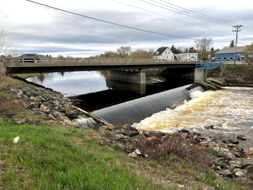
Caution: be sure to take out at the boat ramp before the State Street Bridge. The Presque Isle Stream Dam is just beyond the bridge, and considerable injury or death could occur if attempts are made to go over this unrunnable dam.
For more information, visit the Aroostook County Tourism website, or contact:
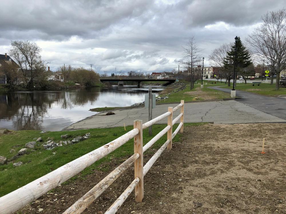
Aroostook County TourismFrom US-1 (Main Street) in Presque Isle, turn onto Chapman Street, near St. Mary’s Catholic Church. Go 660 feet, past the brick court house on the right, and turn right at the intersection onto Riverside Drive. The boat ramp is 200 yards on the left at a municipal park. Parking is across the street near the brick court house.
Success! A new password has been emailed to you.