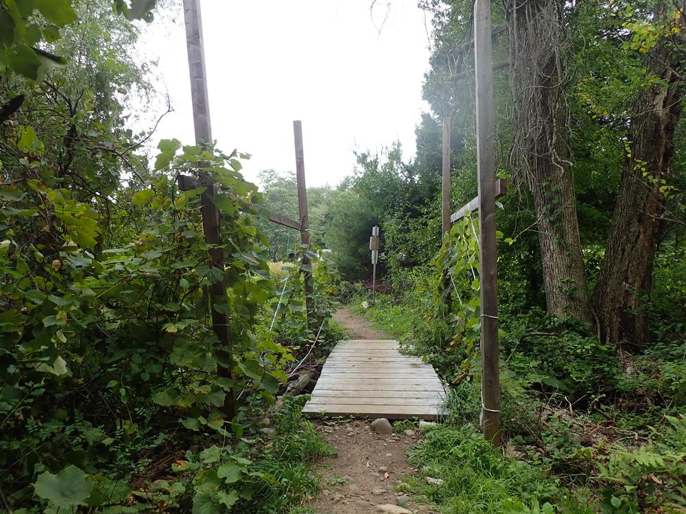
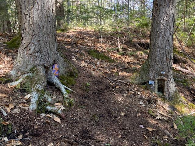
The trail runs through young forest and some wetlands and passes by two small ponds. The only moderately difficult part of the trail is the hilly northern leg of the blue trail, the top of which is almost the highest point of elevation in Westbrook. The rest of the trail is quite flat and easy, though some sections are narrow with uneven terrain. Due to the large size of this forest, there are excellent opportunities to view wildlife throughout the Preserve. Though close to Portland and ME-302, the only noise you will hear throughout much of the trail is running water and wildlife.
The Pond Loop is accessible, and the west half of the Red Loop and the Pink Spur connecting to trails in Falmouth are easy, even-surfaced trails. They are from 5 to 8 feet wide, and have a surface of dirt and grass. Sections of uneven ground, seasonally soft surfaces, or loose rock/stone may be encountered. These particular trails are relatively flat, with a maximum grade of approximately 5%.
There is a 0.3-mile long trail, with an additional 0.5-mile loop off of it, on land belonging to the Town of Falmouth. These town trails connect the Pride Preserve trails to Hardy Road.
Pride Preserve, opened in 2020, is the largest conserved forestland in urban greater Portland and an amazing recreational resource. In addition to these 188 acres owned and managed by the Land Trust, the 63-acre Hardy Road Conservation Area (Town of Falmouth) is adjacent. The Preserve features a 3.5-mile trail network through forest and wetlands, which is mostly flat and ideal for multiple uses in all four seasons. These trails offer a very remote, quiet, wilderness-like experience. We encourage you to come experience PRLT's newest Preserve for yourself.
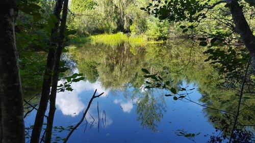
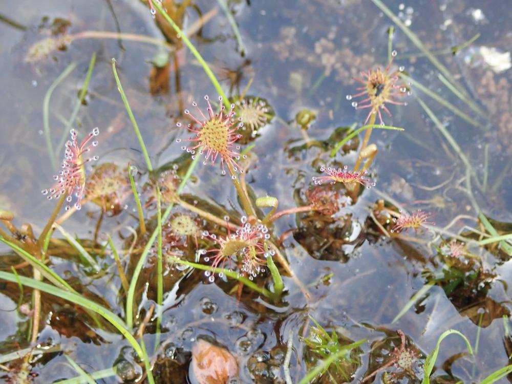
In addition to the large contiguous forest, the water resources are important for wildlife. Minnow Brook runs through the western part of the Preserve and then south until it empties into the Presumpscot River. Another small stream runs approximately along the west side of the pink trail in the north of the Preserve. There are two small ponds, one along the course of each of the aforementioned streams, and numerous pockets of wetlands scattered throughout the Preserve.
All land conserved by the Presumpscot Regional Land Trust was part of the traditional lands of the Wabanaki People for over 10,000 years.
For additional information, visit the Presumscot Regional Land Trust website, or contact:
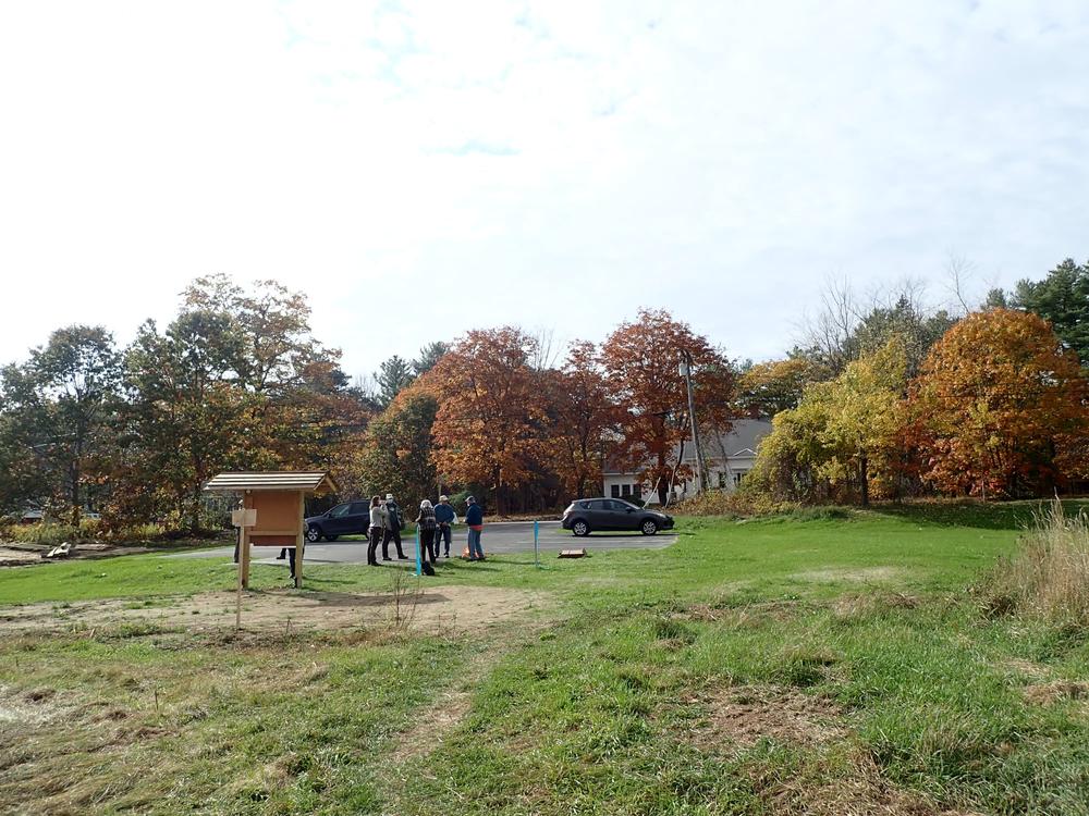
Presumpscot Regional Land TrustThe trailhead for the Preserve is on Duck Pond Road in Westbrook. To reach the trailhead, drive west on ME-302 (Forest Ave, which turns into Bridgeton Road), 6.3 miles from I-295, and 2.6 miles from the I-95 overpass. Take a right on Elmwood Drive, then immediately turn left onto Duck Pond Road. Go 0.8 miles on Duck Pond Road to the parking area for the trailhead.
The parking area does not include specifically designated ADA parking spots, but the lot is paved.
If the trailhead parking is full, there is additional parking on the side of Duck Pond Road.
Success! A new password has been emailed to you.