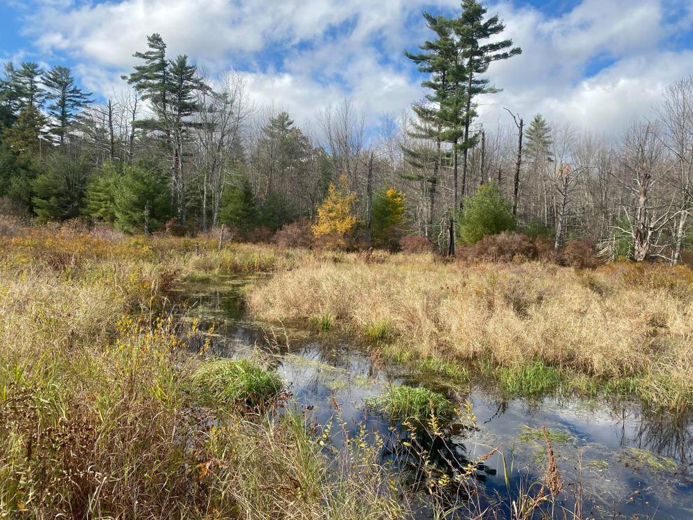
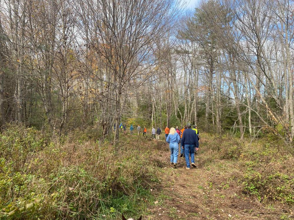
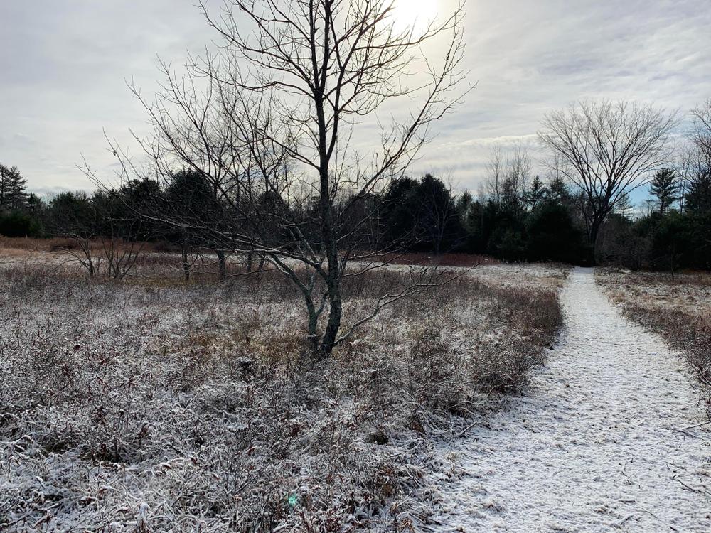
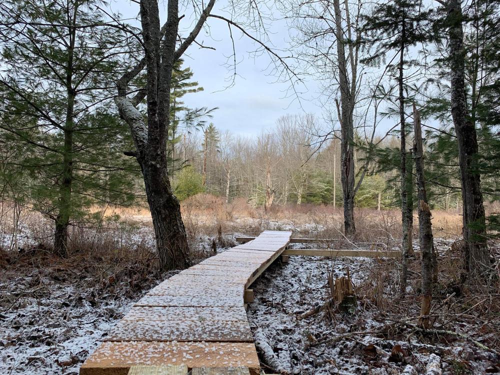
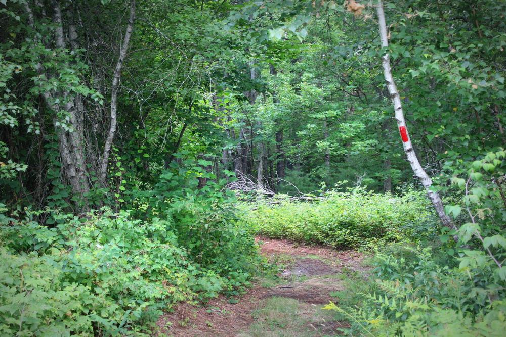
The primary trails consists of three loops through meadow and woods; the smallest is about a quarter-mile and the largest is a half-mile. There is also a quarter-mile spur trail that travels through evergreen woods to a scenic lookout at Tucker Brook and the surrounding wetlands.
Excepting the red spur trail to Tucker Brook, the trails are wide and flat, with a grade of no more than about 2%. There are no bog bridges or other notable obstacles on these primary trails, though the surface may become soft in wetter seasons. The wooded sections of the trail network have uneven terrain.
While the preserve itself is fairly small, it is part of a very large conservation area. This makes it feel very remote when you are out on the trails and means there are good opportunities to see relatively uncommon wildlife. Enjoy your visit and come back often!
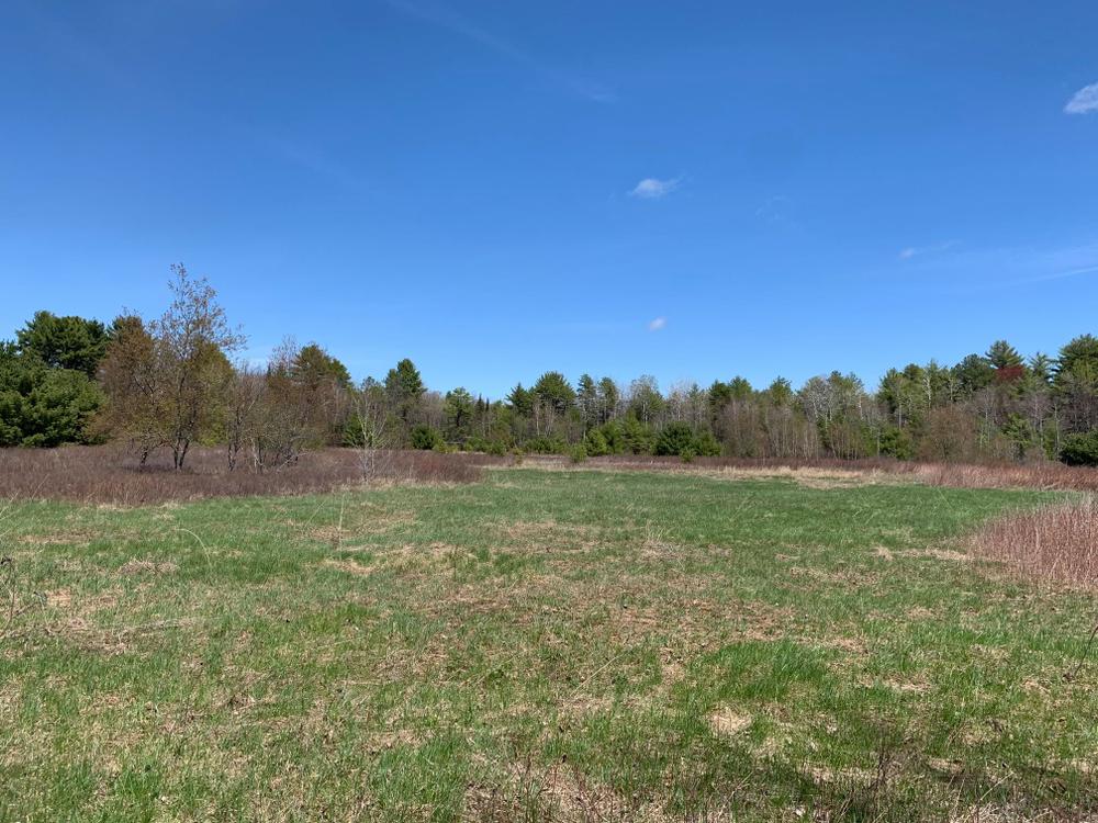
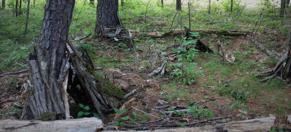
This land represents an interesting and important part of the history of Steep Falls, as it is was the site of a working lumberyard from late 1800s through about 1980. What you see today is the result of 40 years of regenerated meadow and forest. Within the forest, there are a number of tree species not commonly seen at our other Preserves, including red pine, black locust, and a stately “survivor” elm near the trailhead.
This preserve is in the homeland of the Wabanaki People. We respectfully acknowledge these People of the Dawn–past, present and future–and their connection to these lands and waters.
For additional information, visit the Presumscot Regional Land Trust website, or contact:
Presumpscot Regional Land TrustThe trailhead for the Preserve is at the end of Mill Street in Standish. From the center of Standish, take ME-25 east to ME-113 on the right. Head north on ME-113 for 2 miles then turn right on Mill Street. Follow Mill Street 0.2 miles to a parking area at the end of the road.
The parking area does not include specifically designated ADA parking spots, but the lot is paved.
If the trailhead parking is full, there is additional parking on the side of Mill Street or at the nearby Mill Street Park.
Success! A new password has been emailed to you.