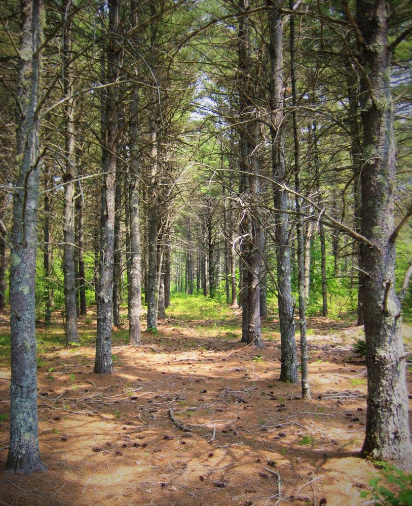
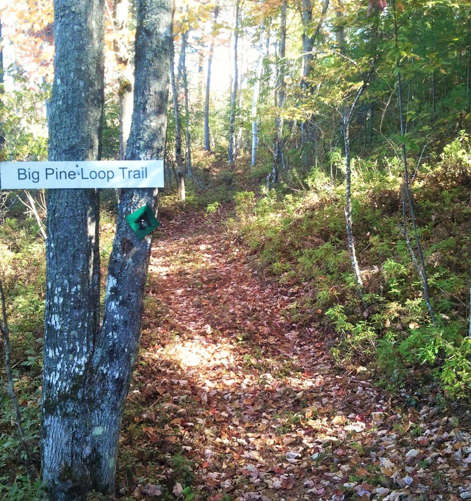
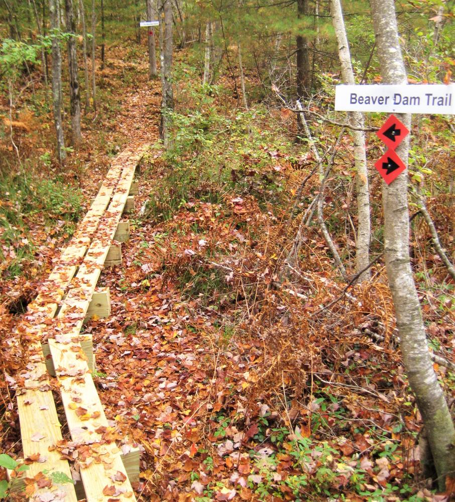
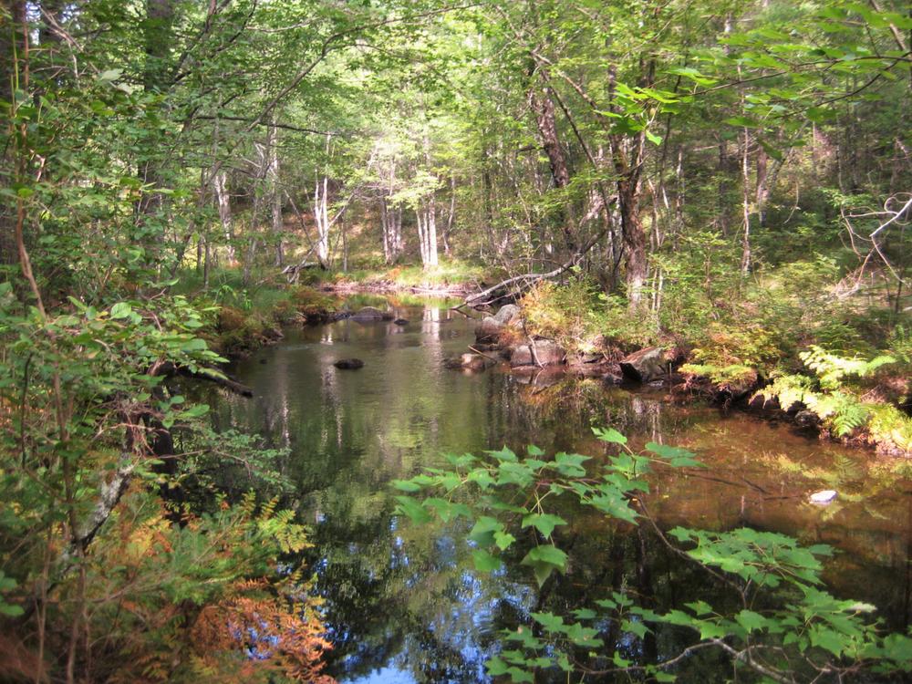
This network of 18 trails explores 334 acres of woodlands, wetlands, and wildlife habitats encompassed by the Tenmile River Demonstration Forest. Most of the trails traverse through white pine and red pine forest, and mixed oak/maple/birch forest.
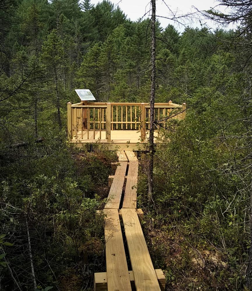
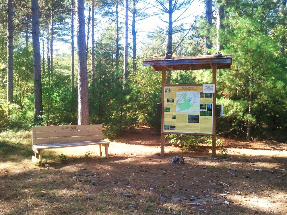
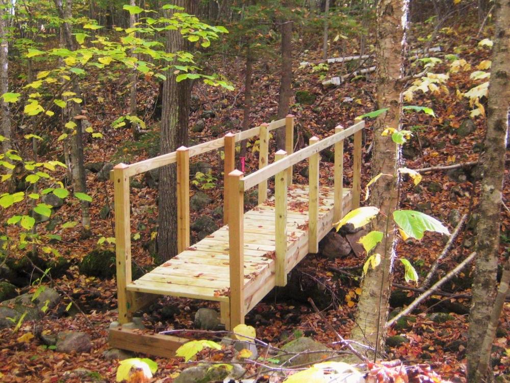
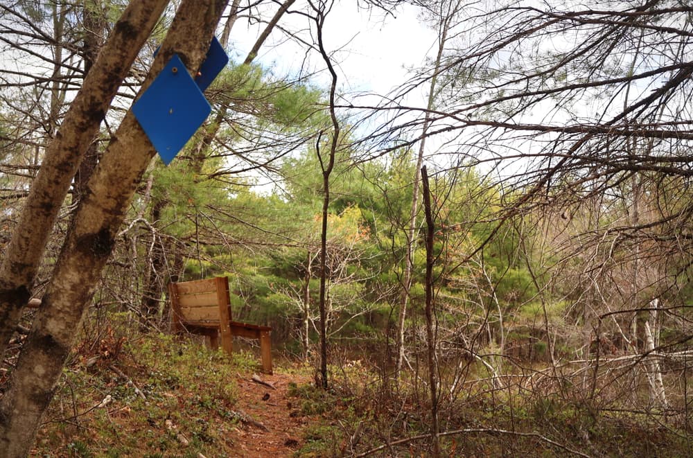
The trails are well-marked and signed. They follow old skidder trails and wildlife trails, and feature numerous resting benches and two viewing platforms.
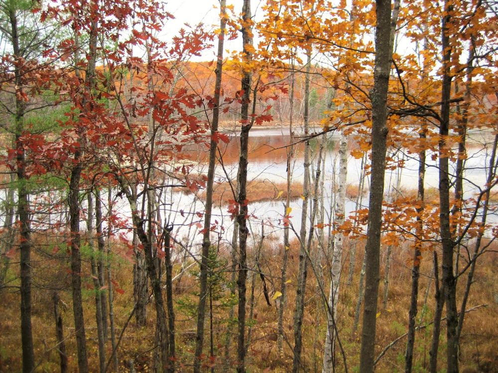
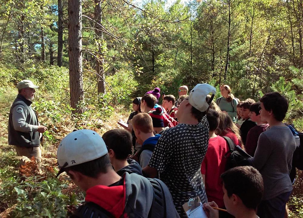
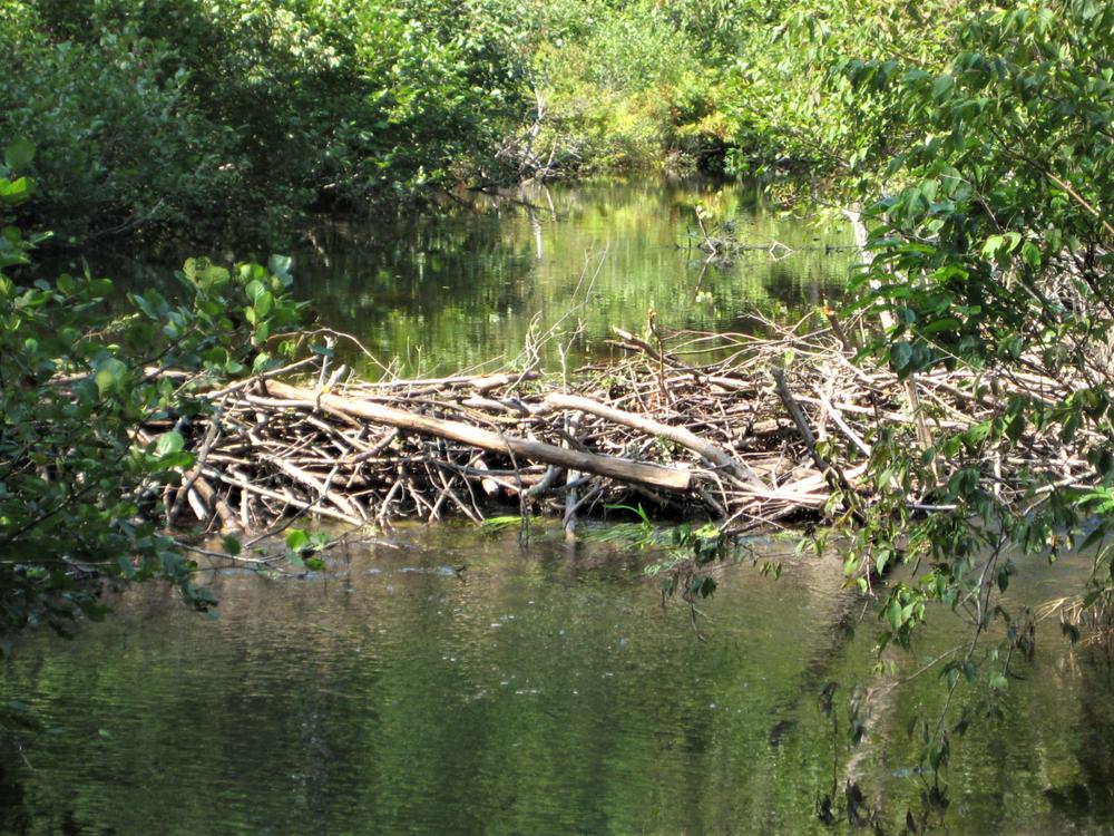
Interpretive signs along the way highlight forest management practices and information about its unique features. Some of these features of note include a kettle-hole spruce bog, beaver dams, headwater and brook trout streams, pitch pine/scrub oak habitat, freshwater marshlands, inland waterfowl & wading bird habitat, and pine stands planted by the District in the 1950s after the "Great Fire of 1947".
This is a working forest, managed for sustainable forestry, special wildlife habitat conservation, and watershed protection.
ABOUT THE DEMO FOREST
The land that makes up the Demonstration Forest was donated to the Oxford County Soil & Water Conservation District in the early 1950s after the Great Fire of 1947 destroyed most of Brownfield. Several additional parcels were donated in 2017 and 2021 by abutting property owners. It was developed into the Tenmile River Demonstration Forest in 2012 to serve as an educational resource area for teaching others about sustainable forestry and the importance of stewardship of our natural resources. The District has placed numerous educational geocaches in the Demonstration Forest that are registered with geocaching.com.
GUIDELINES
This trail network was made possible in part with funds from the Maine Outdoor Heritage Fund (MOHF). For more information about MOHF and the wildlife and conservation projects to which it has contributed, visit the MOHF webpage.
For additional information, visit the Oxford County Soil and Water Conservation District website, or contact:
Oxford County Soil & Water Conservation DistrictThe trailhead is located on the Brownfield/Hiram town line, on the north side of Notch Road (600 Notch Road, Hiram).
From North:
From ME-302 in Fryeburg, turn south on ME-5/ME-113. Drive 12 miles, then turn right on Notch Road. Go 1.7 miles to the entrance at the green metal gate.
From South
From the intersection of ME-117 and ME-5/ME-113 in Hiram, follow ME-5/ME-113 north about 2 miles, then turn left on Notch Road. Go 1.7 miles to the entrance at the green metal gate.
Cars may be parked by the green metal gate. The trailhead information kiosk, with trail maps, is about 100 yards north on the trail from the parking area.
Success! A new password has been emailed to you.