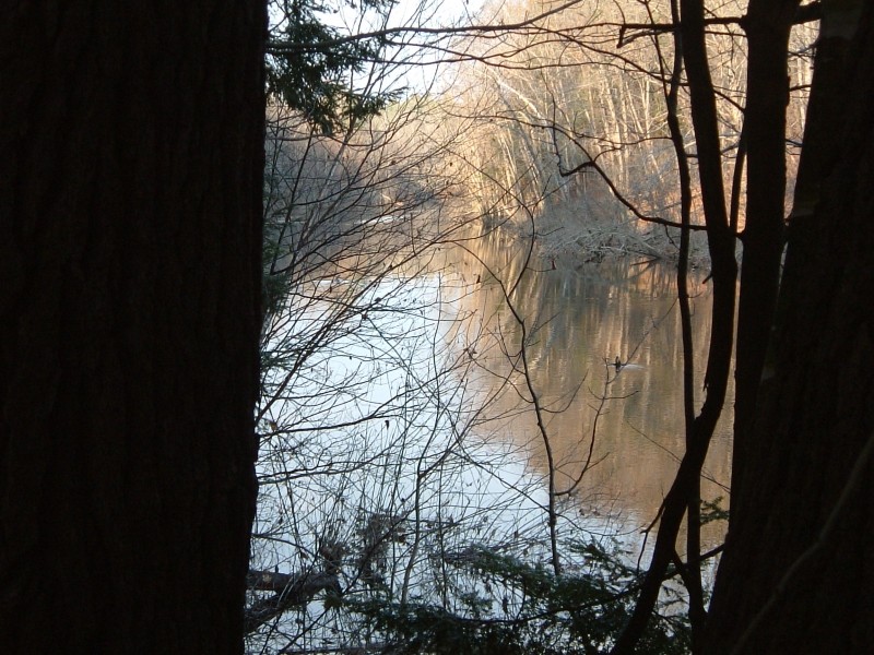
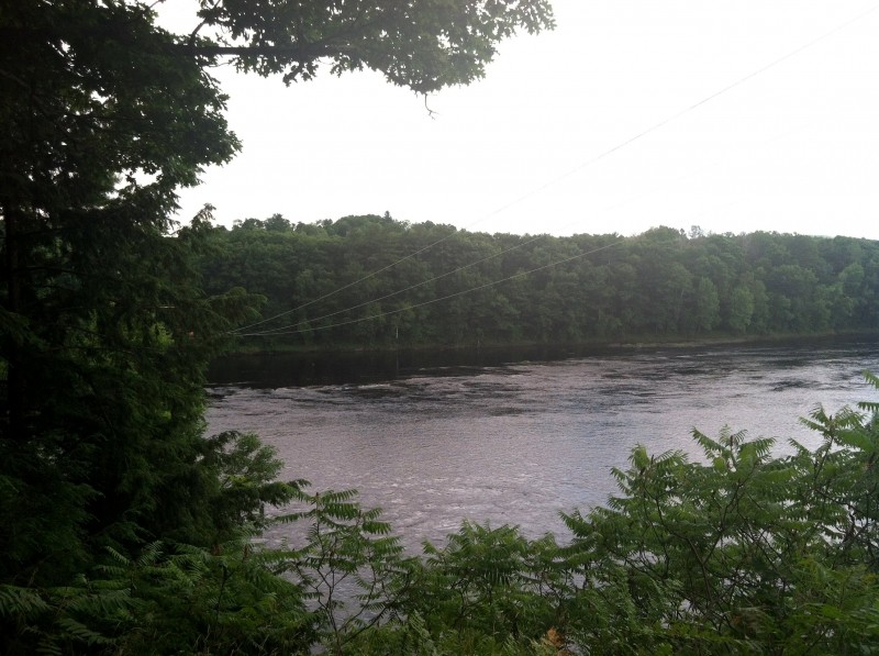
From the parking lot at the soccer fields, walk first along the power line that forms the southern edge of the soccer field. It will lead you to a small kiosk where there is a map of the trail and the first glimpse of the Kennebec River. The trail goes into the woods. A side trail leads to the steep-sided point that overlooks the confluence of Messalonskee Stream with the Kennebec River.
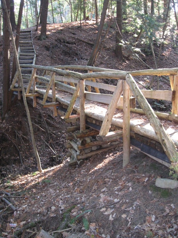
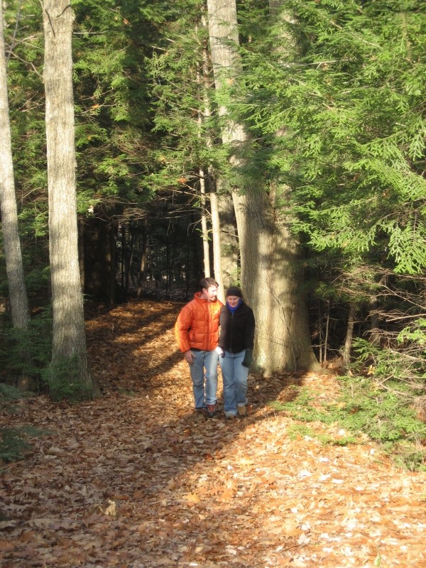
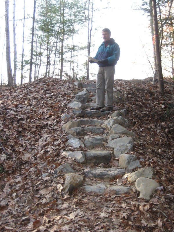
The trail continues up, down, and around gullies, across bridges, and along plank walks. These silty soils, deposited beneath the sea at the end of the last Ice Age, are very easily eroded (thus the deep gullies), and slippery when wet. The path twists and turns and comes out by the baseball field. To return to the parking lot, follow the edge of the athletic fields.
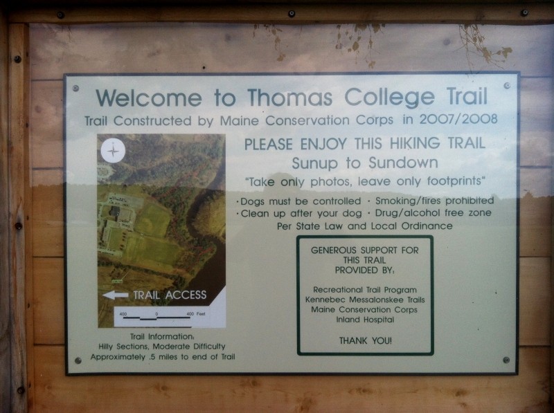
This trail was planned jointly by Thomas College and Kennebec Messalonskee Trails. It was constructed by the Maine Conservation Corps in 2007 and opened on National Trails Day, 2008.
Visit Kennebec Messalonskee Trails online for more information or contact:
Kennebec Messalonskee TrailsThomas College is located off ME Route 104 approximately 1.3 miles from ME Routes 137 and 11 in Waterville Maine. The official trailhead is in the parking lot south of the academic buildings and up against the soccer field. Follow the signs through the campus.
Success! A new password has been emailed to you.