
This is a guest post written by Enock Glidden, MTF Accessibility Ambassador, Public Speaker, Adaptive Athlete, and Adventurer. To learn more about Enock, please visit his website.
Hey fellow hikers! This time I am in the Kennebunk/Kennebunkport area checking out yet another trail that I got from a tip and one that I found on MTF.
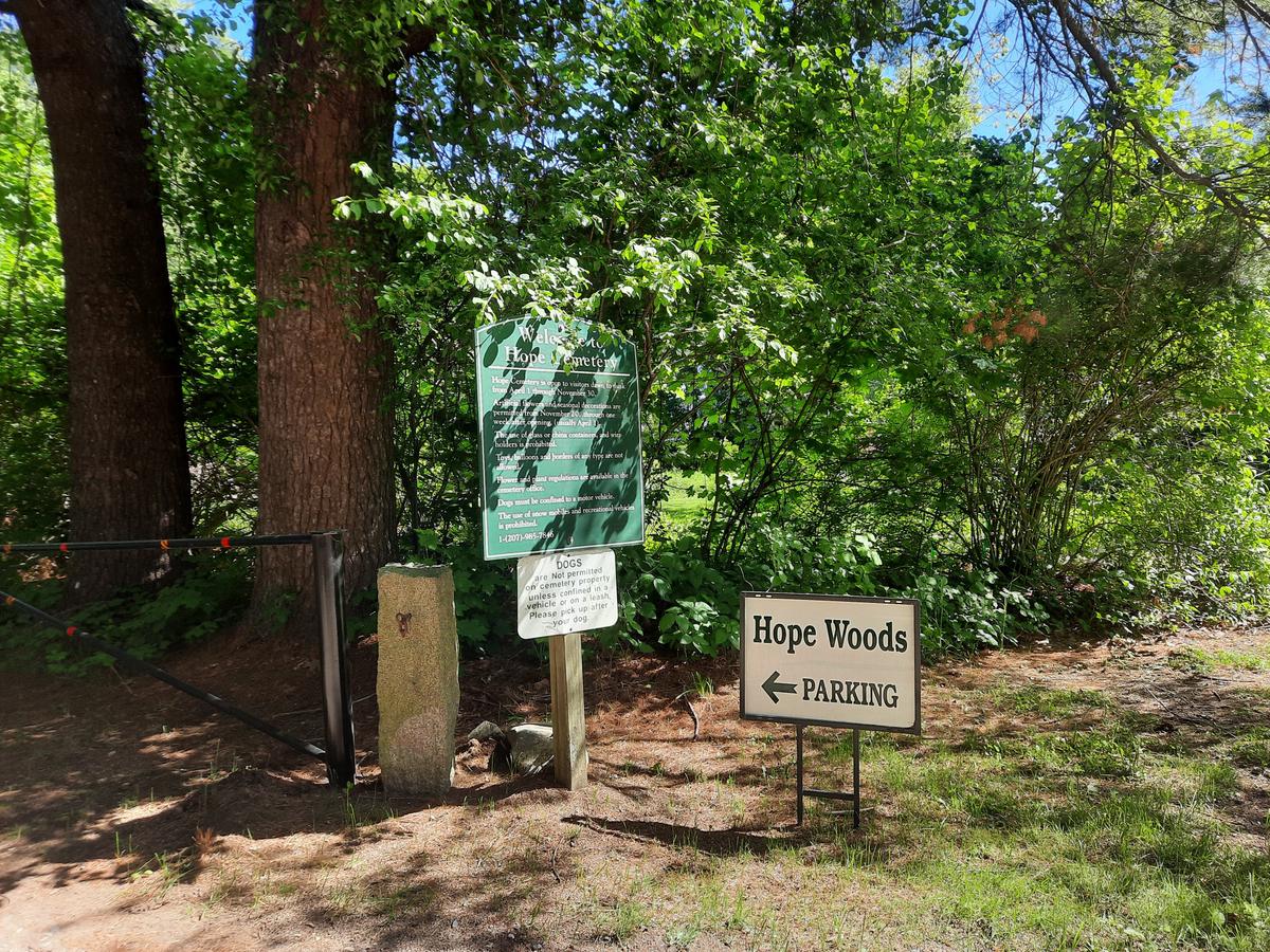
I got a tip during a meeting about an accessible trail created by a naturalist in Kennebunk. The trail is in Hope Woods behind Hope Woods Cemetery. This is a very unique trail because it wasn’t created with a new highly perfected surface trucked in from elsewhere. The surface of the trail is natural to the location. It just needed to be refined into an accessible surface.
I actually tell this to a lot of the land trusts I have worked with. I believe that many trails can be transformed with some effort and thought. For example, you could cover up roots with dirt from a hill that can be flattened or simply remove obstacles like rocks. A lot of trails don't necessarily need a brand new surface, they just need the existing surface cleaned up and refined. There is even a product called dirt stabilizer that can be added to firm up the ground like concrete. It leaves the ground looking the same as it does naturally.
Ok off my soapbox and back to the trail. From the description I found, I didn't realize there was a road into the back of the cemetery to the parking area [Ed. Note: when Enock visited Hope Woods, it was not on Maine Trail Finder. We have since added it to the site and included specific parking directions]. I parked behind the library and pushed across the cemetery to one of the cemetery paths. It was then that I found the road and followed it back to the parking area.
So for those who want to visit this amazing trail use Barnard Lane and turn at the road right before the cemetery called Hope Trail Lane. I saw that it said PVT on the sign. That made me think it was a private road and not to use it. I was wrong - definitely use it. It will save you a lot of time and distance.
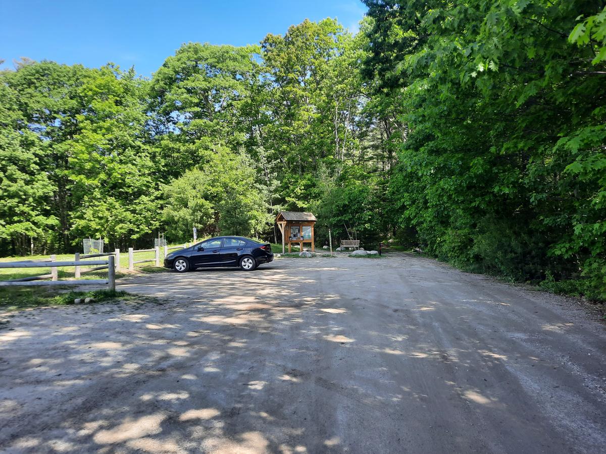
Once I got to the parking lot I wished I had seen that sign. There is plenty of parking in a well-constructed flat lot.
The trail is a 0.8-mile loop, which is quite long for an accessible trail. I started the trail to the left as it’s a loop. They did a perfect job using rocks and a pole to keep out vehicles but allow enough room for wheelchairs and other devices to get through.
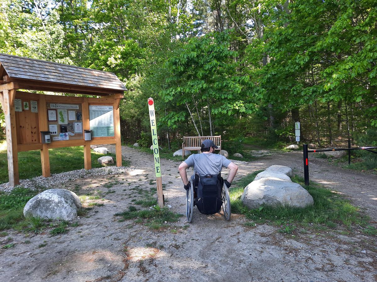
I was extremely impressed with the trail surface knowing that it was a natural surface. Someone finally proved me right - haha! You really can make an accessible trail without dump trucks of stone dust and gravel.
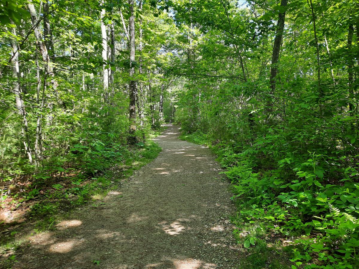
The trail is at least 8 feet wide with a mostly smooth surface. There was some small gravel that rattled my front wheels but nothing that would create an obstacle.
The trail traverses through a beautiful wooded area passing by swamps and fields. I love how they made the trail feel as though it was constructed like any other trail. It is windy and interesting. There aren’t any straight lines other than at bridges and even one of the bridges has a curve.
By the way, the bridges are also amazing and well-constructed.
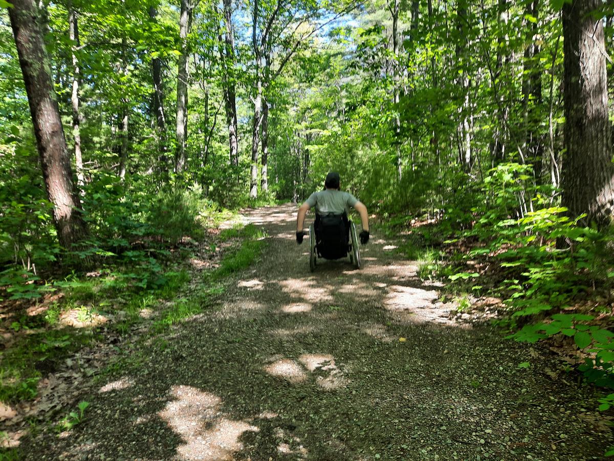
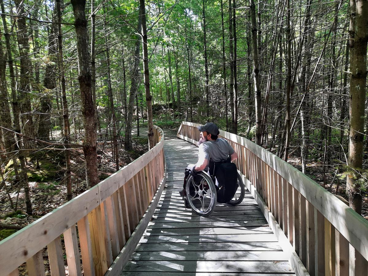
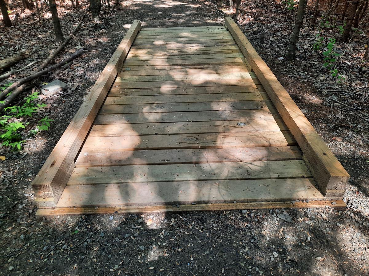
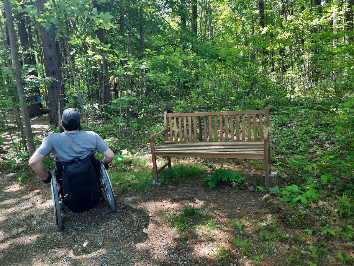
I would obviously rate this one Just Plain Accessible! There is nothing inaccessible about it.
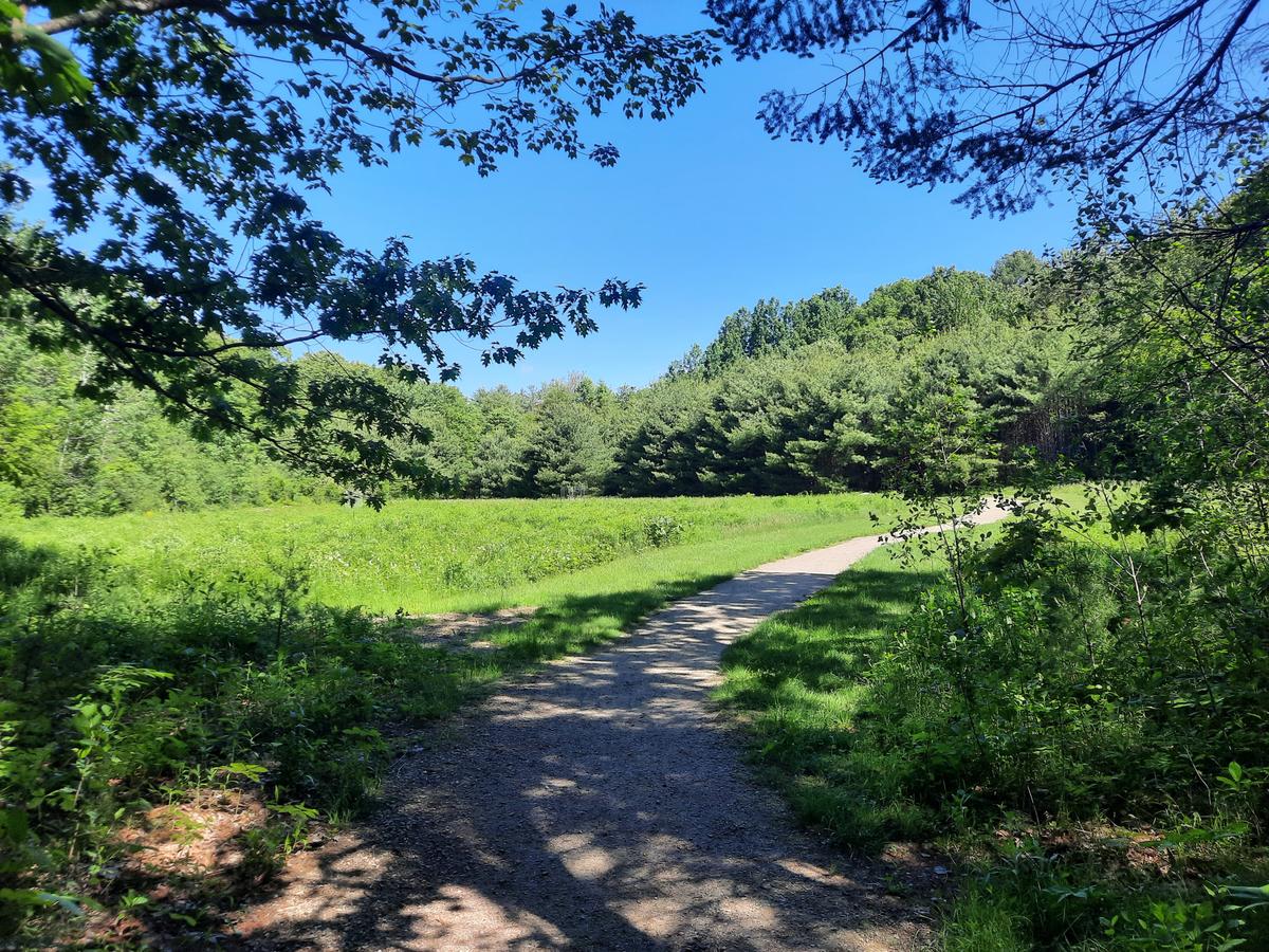
We finished back at the parking lot and realized we had some time before we needed to be home.
What do you do when you have more time to hike? You go to Maine Trail Finder and find more trails. I ended up finding Emmons Preserve owned by Kennebunkport Conservation Trust.
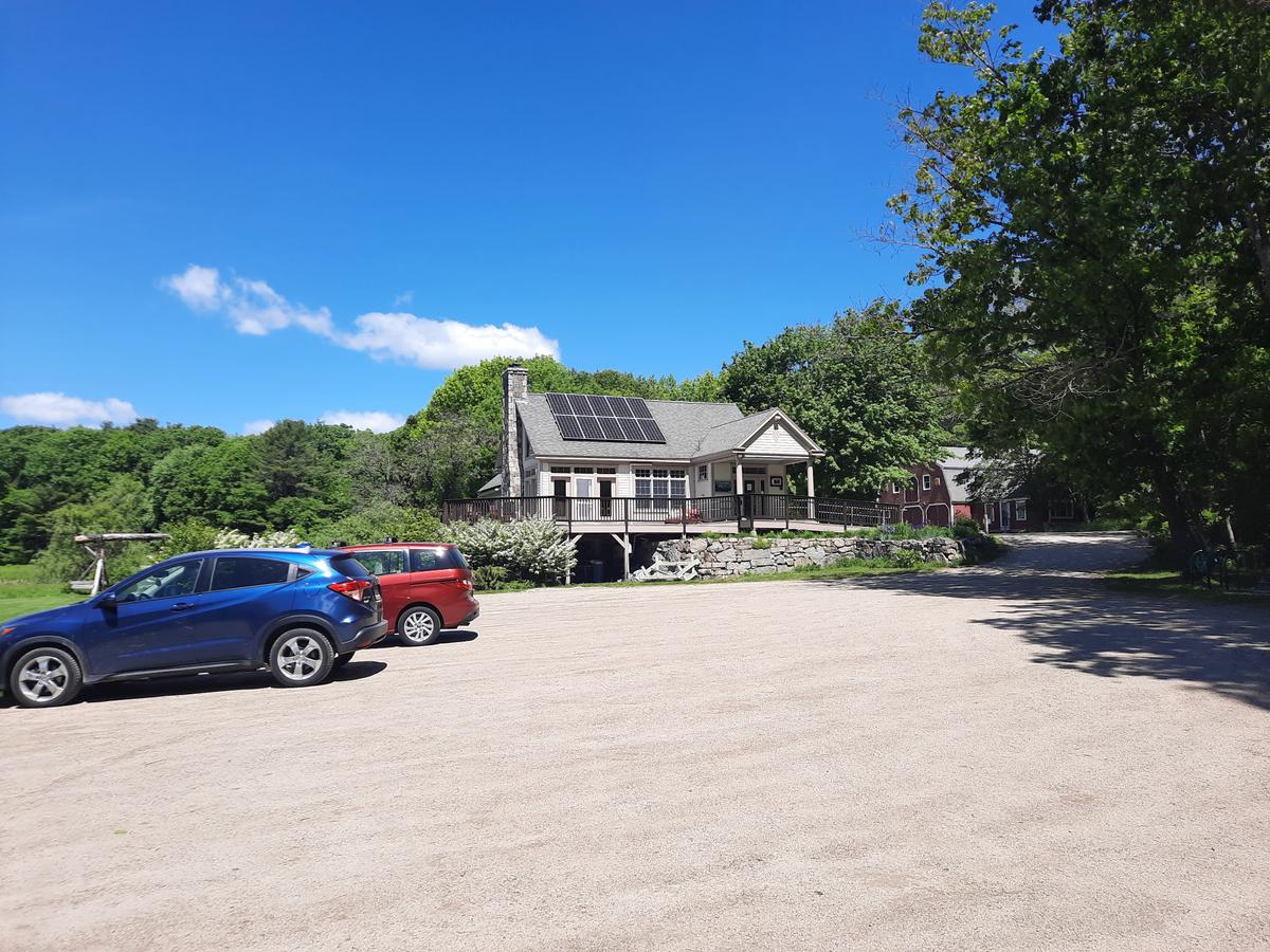
They have an amazing facility at this preserve with ample flat and firm parking areas, beautiful landscaping and flowers, and an unbelievable building. Unfortunately, it wasn’t open. That meant there wasn’t a usable bathroom.
After perusing the trail map I decided on trying out the Roller Trail marked in white. I ended up choosing this trail based on the description from MTF:
“The Roller Trail (1 mile) loops around the headquarters complex is named in honor of longtime volunteers Mark and Gail Roller and is suited for a gentle stroll. The trail winds through meadows that in the summer are filled with wildflowers along the Batson River, and features views of the river, beaver dams, and the Preserve’s namesake historic site, the Emmons Cemetery. In winter this loop is excellent for cross-country skiing and snowshoeing."
It is only a mile, suited for a gentle stroll, and winds through meadows with views of the Baston RIver. Sounds doable to me!
This was my kind of trail. Yes, it was doable, but only with some serious effort.
It starts on a dirt path along the edge of a field that becomes a mowed path.
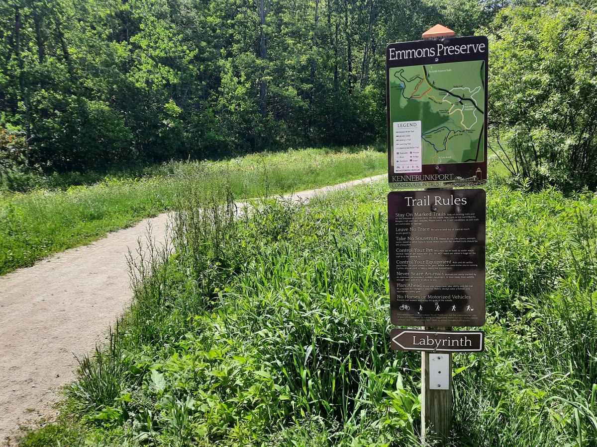
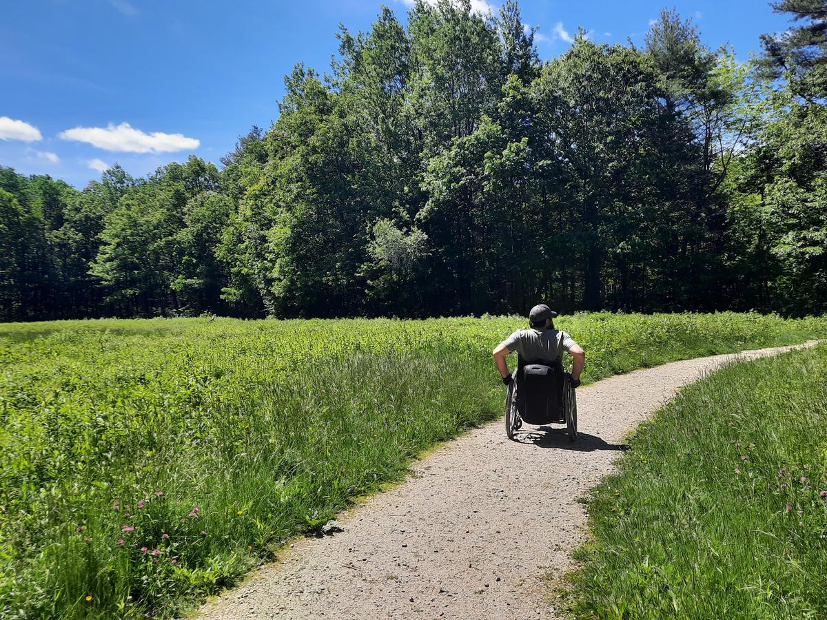
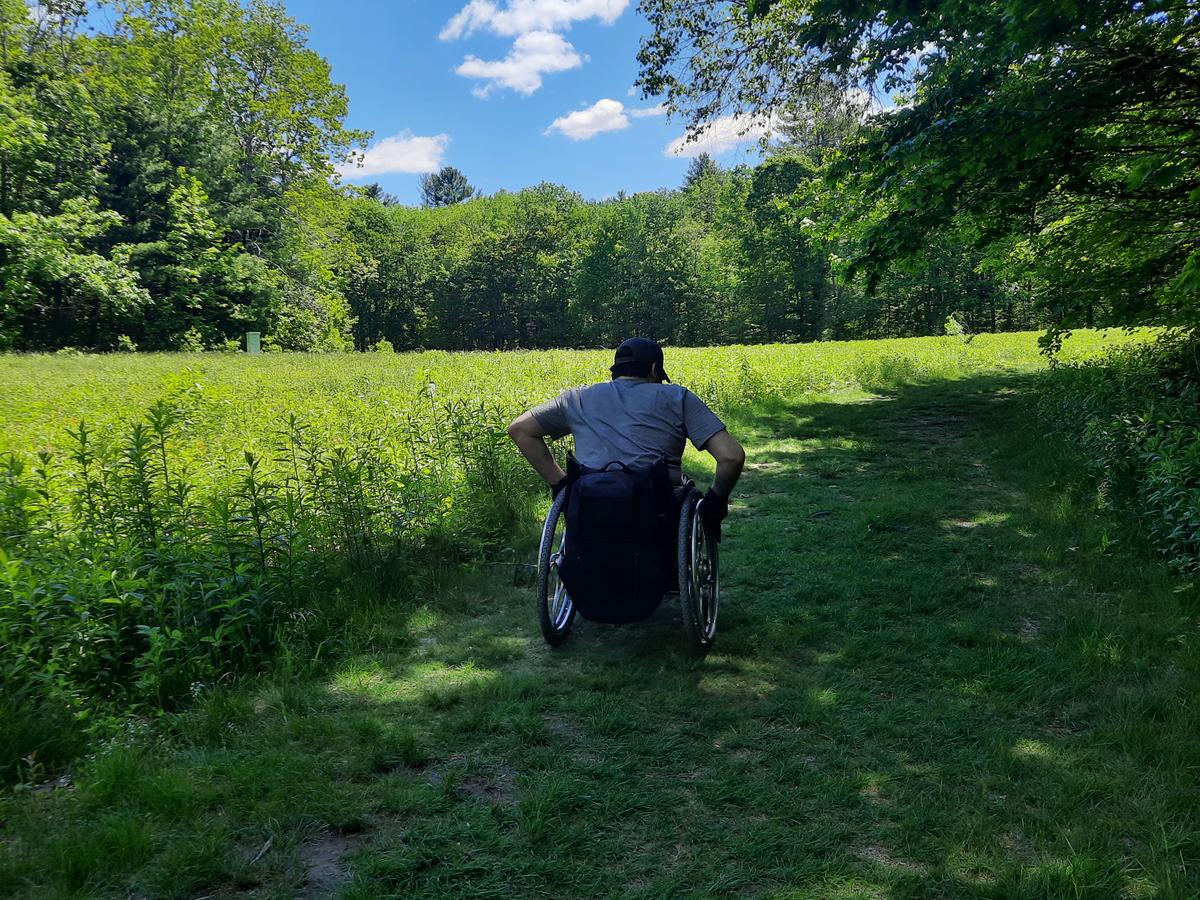
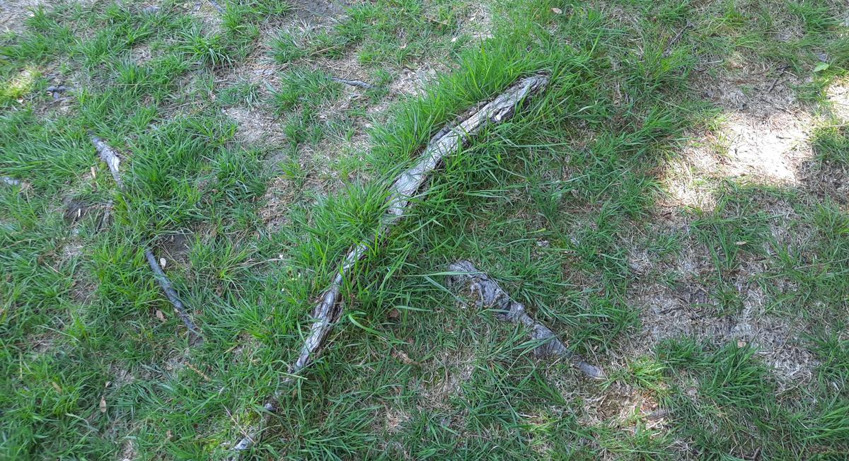
Both surfaces are solid and easy to roll over. There are occasional roots but not so bad that I couldn’t go around or over them.
About halfway across the first field, you will come to a bridge to the right. This leads to a different trail but also goes over the Baston RIver. I would recommend venturing out onto the bridge and checking out the view.
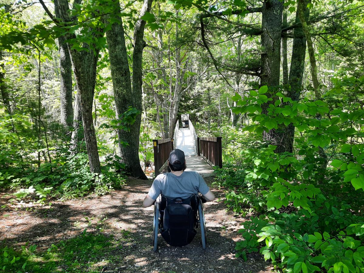
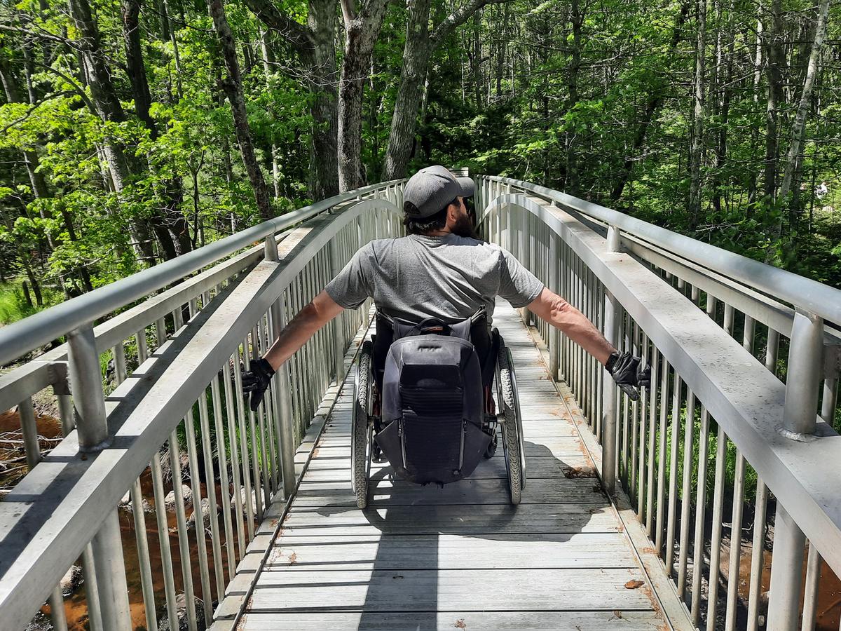
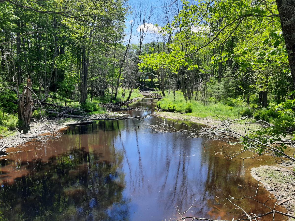
At the end of the field the trail gets a bit more moderate. The woods sections are a bit more technical but doable. There aren’t any hills that are too steep and the surface is mostly firm. I only needed assistance once for a very short section that was too steep.
Eventually the trail pops out into another field and crosses a road. We got a little confused at this point but eventually saw a very narrow path on the other side of the road where the trail continues.
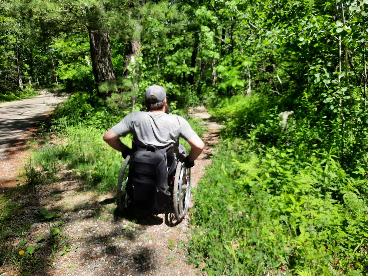
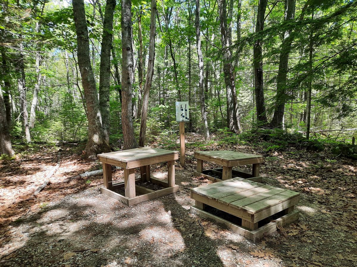
This leads through another field and to another confusing spot. We came to another trail called the Fitness Trail. We didn't realize that trail was part of the Roller Trail. Luckily we had service on our phone and checked out the map on MTF. It didn’t long to realize we needed to turn left and take the Fitness Trail. This is a really neat idea where they set up very exercise stations along the trail.
I was also extremely pleased to see the use of boardwalks rather than bog bridges. They weren't quite wide enough to be called accessible but plenty wide enough for my wheelchair.
After the woods, the trail finishes on the other side of the starting field with a lovely view.
I felt so good after this one. It was a great way to finish off the day. I would rate it Wheelie Easy to Wheelie Moderate. There are obstacles but nothing that can't be traversed around or over. The fields are a bit harder to push than on an accessible surface. I would definitely give it a go if you are into a good challenging workout!
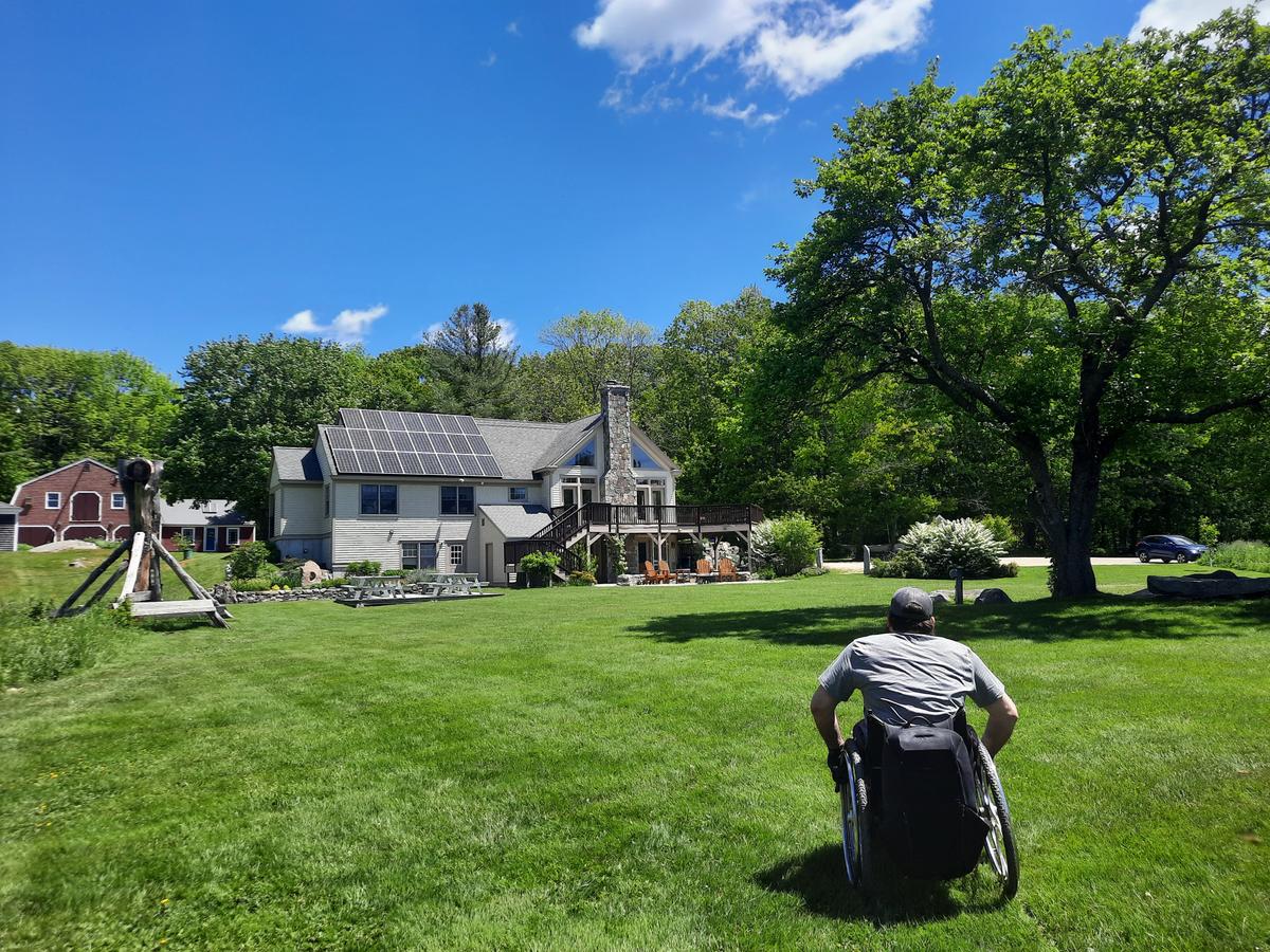
After finishing the day I started thinking that Harpswell and the Kennebunk area are probably about equal in the accessibility and awesome adventure status. I am wondering if we should have a contest to see which town has the best accessible and doable trails? Let us know what you think in comments!
That does it for this one. If you are in the Kennebunk area make sure to check out these trails. If you have time do another trail that I haven’t gotten to, please let us know about it. I need all the help I can get to provide the best information possible!
This year I am hoping to get some group or one on one hikes together. I would love to interview other people with disabilities about their experiences in the outdoors. The more perspectives we can get the better the information will be and the more progress we can make. Please contact us if you are interested in collaborating or joining me on a hike!
If you have a different type of mobility issue or a different disability and you visit this trail or others, please comment on this post and give us your feedback. If you would like to visit a trail with Enock feel free to reach out. He would love to have people join him in the outdoor spaces of Maine. The more knowledge we gather and share, the more people we can get outside using the trails of Maine!
Success! A new password has been emailed to you.