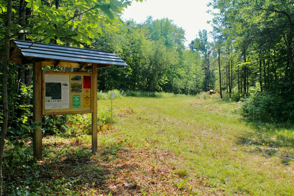
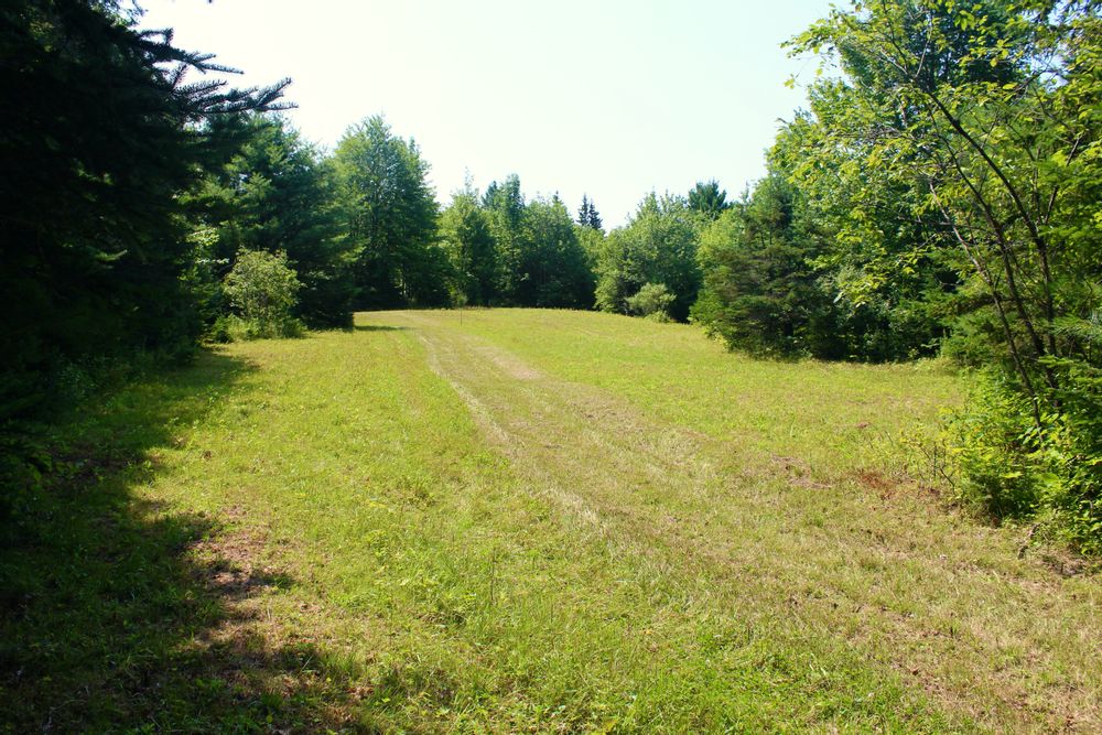
From the trailhead kiosk adjacent to the parking area, the blue-blazed trail heads south through a small field, past cabled posts and a short connector to a larger field full of seasonal wildflowers. It then continues across this field to an old skidder trail through a mixed forest of pine, fir, and spruce, to the junction with the loop section of the trail.
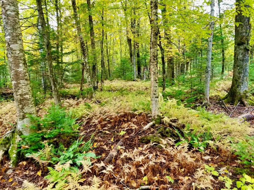
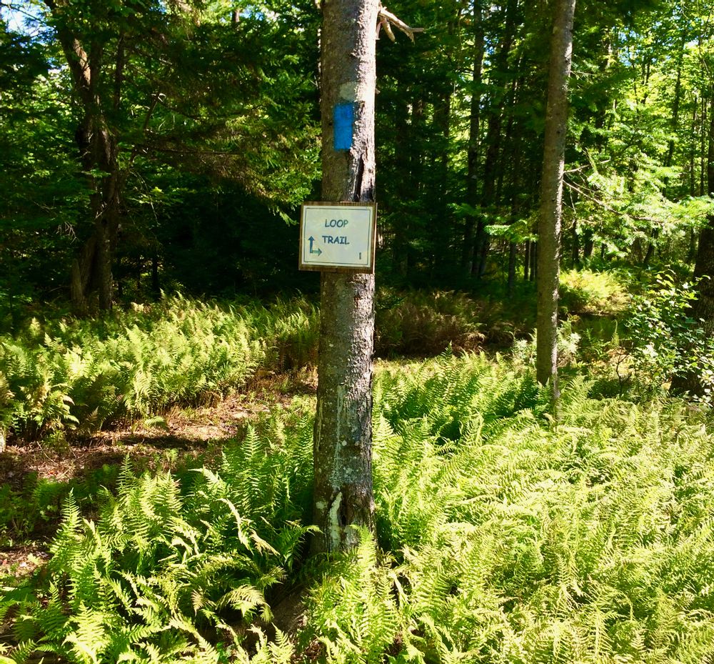
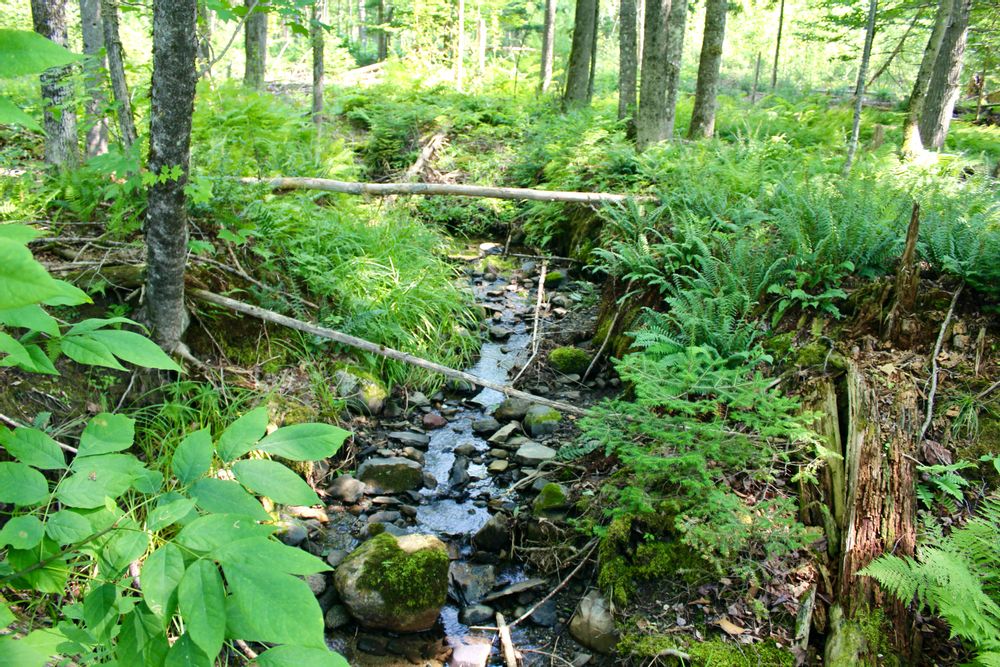
The 0.4-mile loop combines a true woodland trail experience across rocks, stumps and a dry stream bed, with that of a wider skidder trail through tall stands of hemlocks and other conifers combined with the lush undergrowth of tall ferns and wild grasses. Look for a small brook that bisects the preserve close to the loop junction on the left. A short side trail to the brook is marked on the left of the main trail as it approaches the loop junction.
The 90-acre Cambridge Woodlands Preserve was donated to Sebasticook Regional Land Trust as a gift by Jack Daggitt in 2013. The trail system was initiated by a local Boy Scout Troop in 2015.
For additional information, visit the Sebasticook Regional Land Turst website, or contact:

From points south, take I-95 to exit 150 (Pittsfield). Follow the signs from the exit ramps east to ME-152 near the center of town. Turn left on ME-152 N and go about 20 miles to the end of ME-152 in the village of Cambridge. Continue north, bearing right on ME-150 for 2 miles to Leavitt Road of the right.
From points north and west, connect to ME-150 in Guildford or Skowhegan. From Guilford, follow ME-150 south 9.8 miles to Leavitt Road. From Skowhegan, follow ME-150 north 25 miles to the village of Cambridge village, then continue north approximately 2 miles, to Leavitt Road on the right.
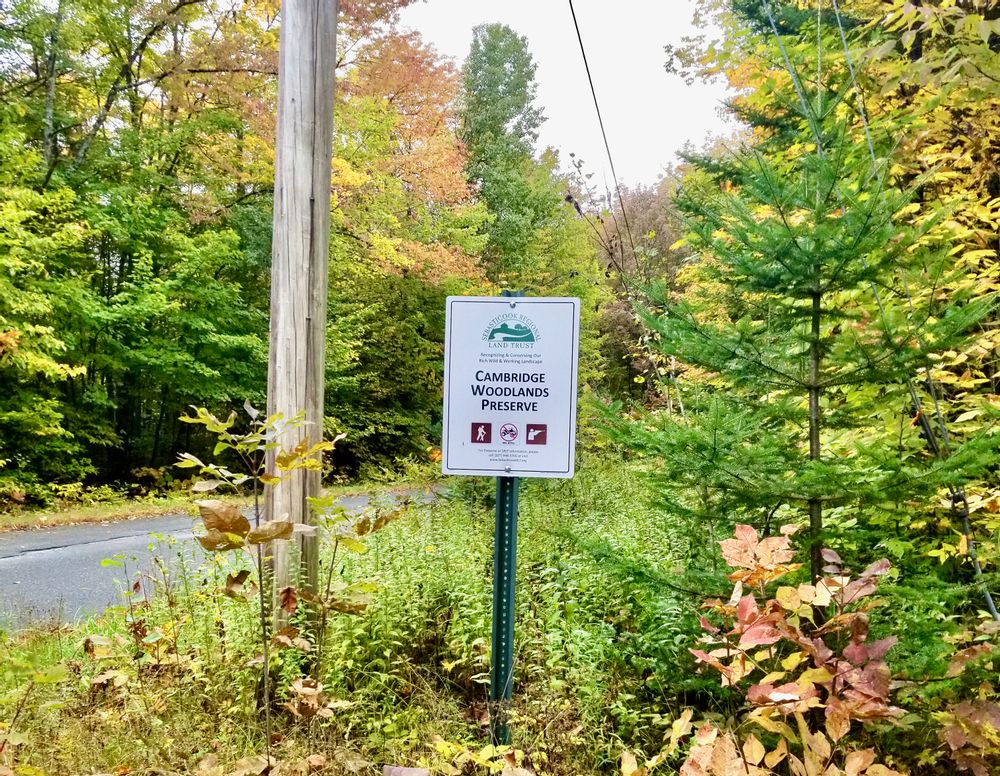
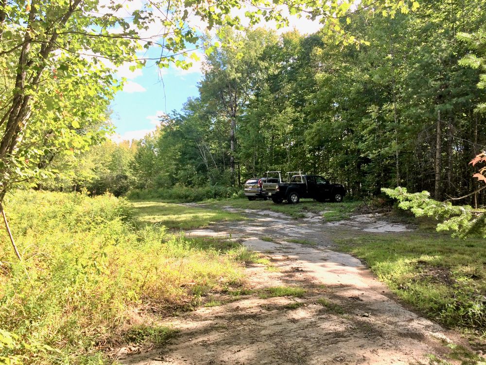
Follow Leavitt Road 0.5 miles to the small white preserve sign on the right marking the entrance to Cambridge Woodlands Preserve. Park as directed following the signs at the entrance. The kiosk is the trailhead. Blue blazes mark the trail through the parking lot past a cabled road.
GPS coordinates for preserve parking: 44.882074, -69.138678.
Success! A new password has been emailed to you.