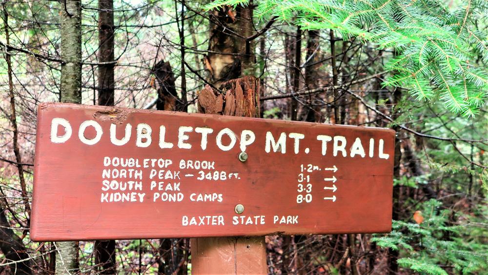
There are two trails to the summit, one from Kidney Pond Campground on the south and another from Nesowadnehunk Field Campground to the north. An additional approach is via a side trail originating near the Kidney Pond Road just after crossing the Nesowadnehunk Stream Bridge, 0.4 miles in length and intersecting the Doubletop Mountain Trail 1.3 miles north of the campground. A day hike can be made from either the north or the south, and doubling back to return. Or if desired to avoid retracing your steps, you can hike the entire the eight mile traverse in either direction, by shuttling with a car or a bike. The recommneded direction to hike the entirely of the ridge is from south to north, given the steepness of the approach to the summit from the south, better hiked up than down.
TRAIL DETAILS
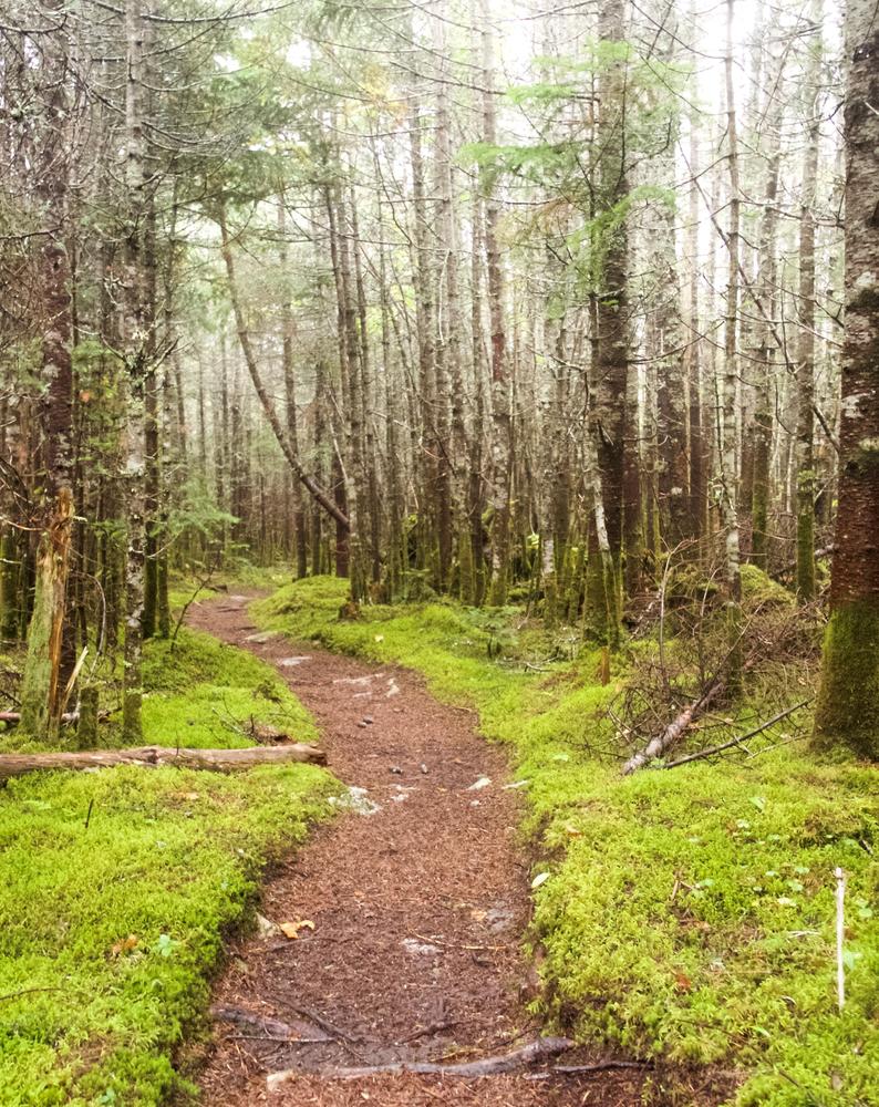
0.0 Miles:The trail leaves the north side of Kidney Pond Campground near the parking area. It enters the woods and bears northward.
0.3 Miles: The trail passes Draper Pond Trail to the right (northeast).
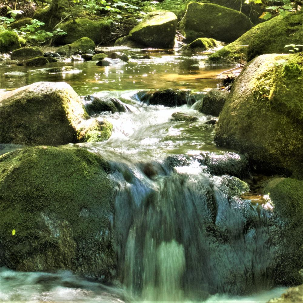
0.9 Miles: The trail crosses Slaughter Brook, then follows it upstream along its north bank.
1.1 Miles: The trail reaches the south shore of Deer Pond, then skirts its north and east shores.
1.3 Miles: Bearing left onto old Slaughter Pond Tote Road, continuing west. To the right, and old trail leads 0.4 miles to a parking area near the Kidney Pond Road.
2.0 Miles: The trail crosses an old logging camp field. At the far of the of clearing, the trail bears right (north) at the northeast corner of the field. This is an important turn that sometimes becomes obscured when summer growth is high. Ahead, the old Slaughter Pond Trail continues 0.9 miles westward to the east end of the pond. The Doubletop Trail follows the old tote road, crossing a brook just after leaving the field.
2.2 Miles: The trail crosses a brook, which is recrossed three more times over the next 1.2 miles. This is the last water. A steady ascent then commences.
3.3 Miles: The trail turns to the northeast, passes under the flank of Moose Mountain, and ascends steeply.
3.8 Miles: There is a more level section in a sag between Moose Mountain and Doubletop. The trail then turns more northeast and begins a very steep ascent, gaining more than 900 feet in just 0.8 miles.
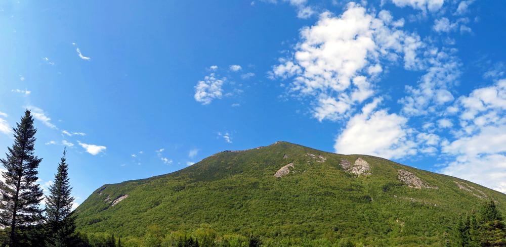
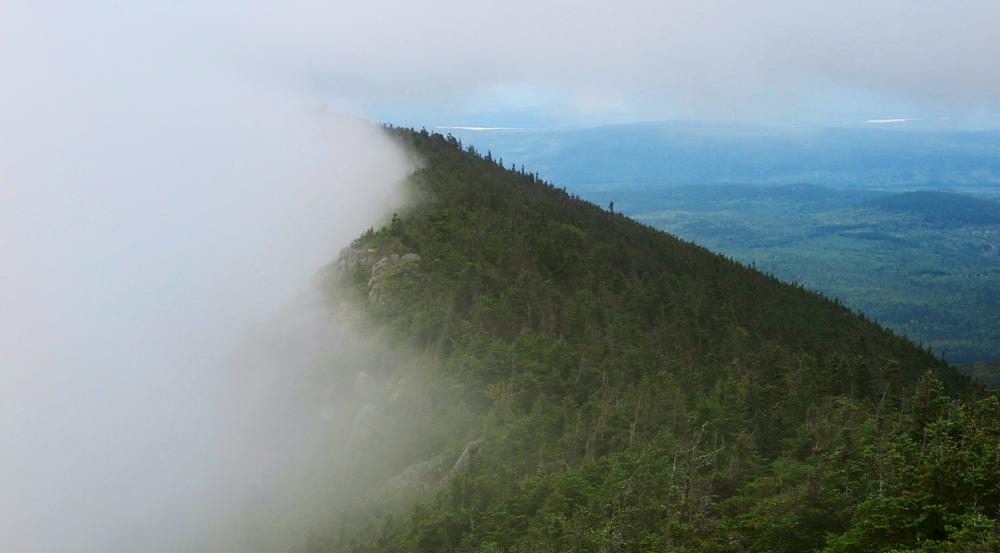
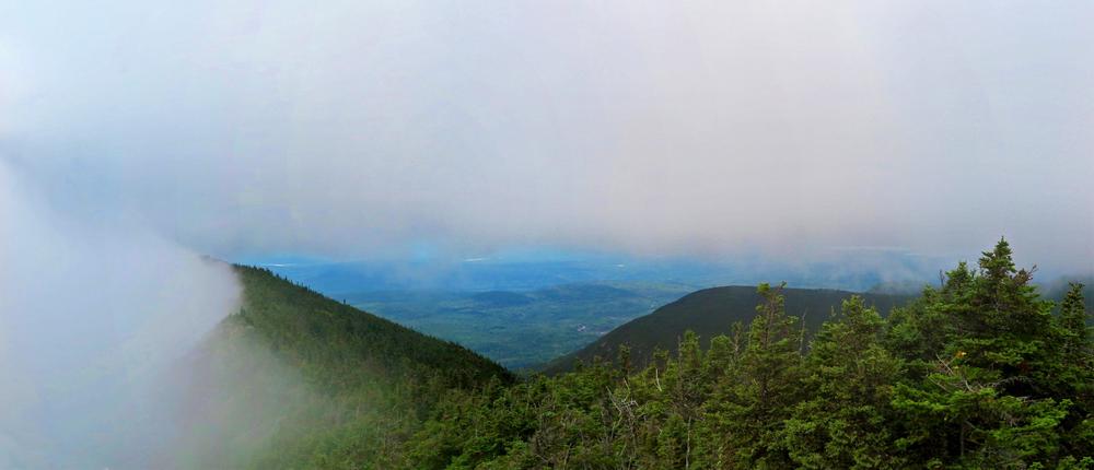
4.6 Miles: South Peak of Doubletop (elevation 3,455 feet). The South Peak affords outstanding views in all directions. Continuing from the South Peak, the trail leads 0.2 miles along a level ridge to the North Peak.
4.8 Miles: North Peak of Doubletop (elevation 3,489 feet). There are views of Katahdin and the Cross Range to the east. The trail descends steeply from the summit to the north along the mountain's shoulder.
6.7 Miles: The trail crosses a brook in the valley between Doubletop and Mount Veto, then continues a more gradual descent.
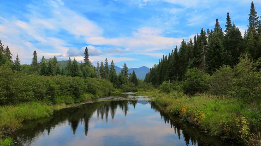
6.9 Mile: Upon reaching the valley floor, the trail continues north, soon paralleling Nesowadnehunk Stream on the right.
7.8 Miles: The trail meets up with and follows a campground path.
8.0 Miles: The trail ends upon crossing the bridge over Nesowadnehunk Stream, with the Ranger's Cabin and parking area just ahead.
Park Fees: See website for entrance and camping fees. [No entrance fee for Maine residents.]
Park Rules: See a more complete list here.
For more information and detailed trail maps, visit the Baxter State Park Authority website, or contact:

North Trailhead, Nesowadnehunk Field:
Travel northwest on the paved Baxter Park Road to the Togue Pond Gatehouse, which is 8 miles from the Golden Road Crossing. After entering the park at Togue Pond Gate, bear left and continue onto the Park Tote Road for 16.8 miles. Nesowadnehunk Field Campground is on the left; parking for day hikers is located by the Ranger's Cabin.
South Trailhead, Kidney Pond:
Travel northwest on the paved Baxter Park Road to the Togue Pond Gatehouse, which is 8 miles from the Northwoods Trading Post. After entering the park at Togue Pond Gate, bear left and continue onto the Park Tote Road for 10.4 miles. After 10 miles on the Tote Road, pass the left turn to Daicey Pond, continue on the Tote Road for another 0.4 miles, then turn left toward Kidney Pond Camps. The trailhead is located 1 mile down this road on the right at the first parking area.
Success! A new password has been emailed to you.