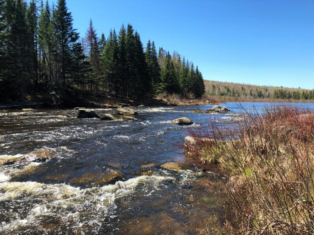
The river starts out gently and soon enters the “Roaring Bulls,” a section of vigorous class 2 whitewater. While not difficult at modest water levels, this is the most demanding section of the entire river. Less than 4 miles downstream there is a campsite called Russell Crossing, formerly a place where American Realty Road crossed the river. In the 19th century the California Road also crossed the Big Machias River here. Observant paddlers will see the old bridge abutments.
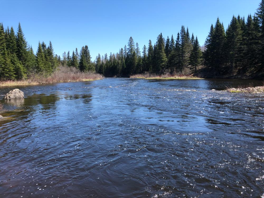
From here to Pinkham Bridge the rapids continue, but diminish in difficulty. For awhile two nearby mountains serve as companions, rearing their heads here as the river progresses downstream. The mountains are named Horse Mountain, on the left, and Jack Mountain, on the right. In the log driving days on this river these mountains each had three more letters, the alternate name for a donkey, as a suffix to their names.
Please note: there is not a good put in/take out at Pinkham Bridge, so it is best to continue about 0.1 mile downstream of Pinkham Bridge to the North Branch Machias Campsite, which is accessable by car from near the bridge.
This section of the Big Machias River can easily be combined with the Pinkham Bridge to Ashland section, paddling from Big Machias Lake to Ashland, roughly 33 miles. If you do this trip with camping gear in your boat use caution at the “Roaring Bulls,” the class 2 section not far downstream of Big Machias Lake.
For additional information, visit the Aroostook County Tourism website, or contact:
![]()
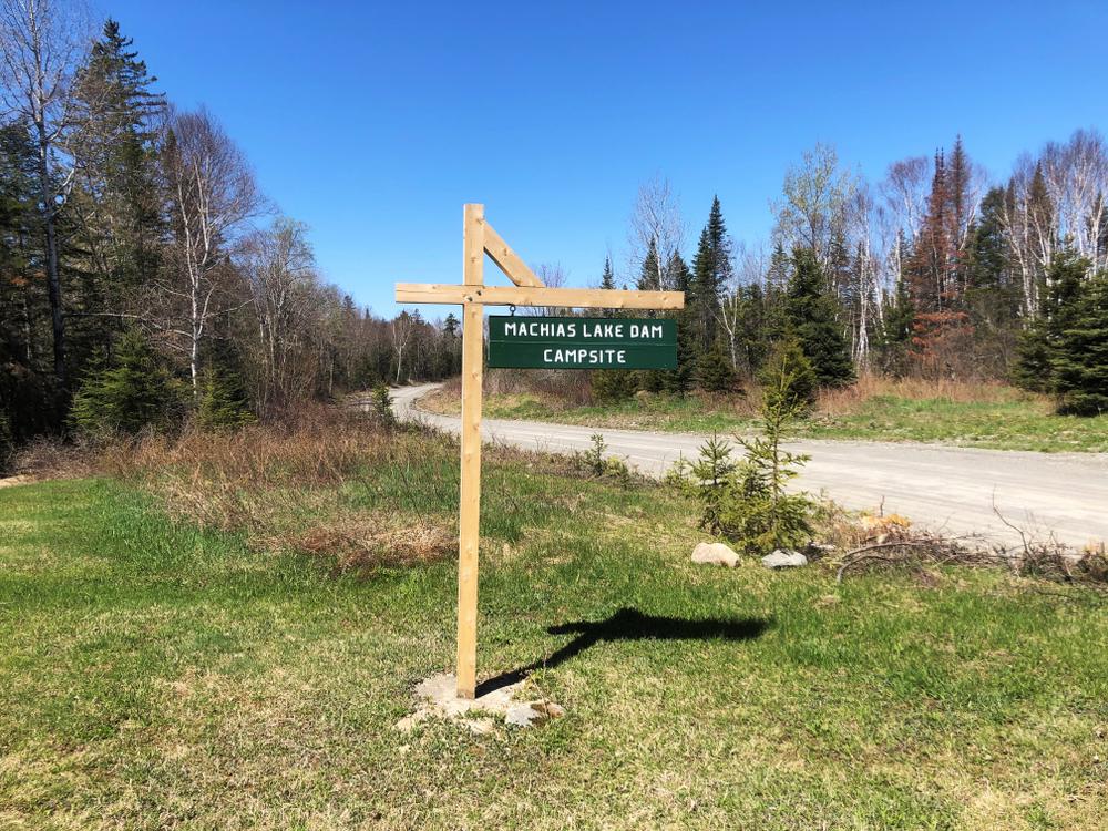
PUT-IN AT BIG MACHIAS LAKE
The put-in is at the Machias Lake Dam Campsite, 19 miles west of ME-11 in Ashland on American Realty Road. There is a North Maine Woods checkpoint 5 miles from ME-11 at which you will need to pay a nominal fee. Parking is good at the Machias Lake Dam Campsite. About 75 yards down a woods trail puts you at the old log driving dam site.
TAKE-OUT AT NORTH BRANCH MACHIAS CAMPSITE
From the ME-11 bridge over the Aroostook River in the center of Ashland, head west on Garfield Road for 0.6 miles, then bear right onto American Realty Road. Go 5 miles on American Realty Road then bear left onto Pinkham Road (by the Maine North Woods Checkpoint). Go 5.1 miles to a Y in the road, and stay to the right at the Y. Continue 2.9 miles to the bridge over the Machias River. Just before the bridge on the left (the southeast side of the bridge) there is a road that leads about 0.1 miles to the North Branch Machias Campsite, the best location to put in/take out. Please note there is not good access to the river from Pinkham Bridge itself.
Success! A new password has been emailed to you.