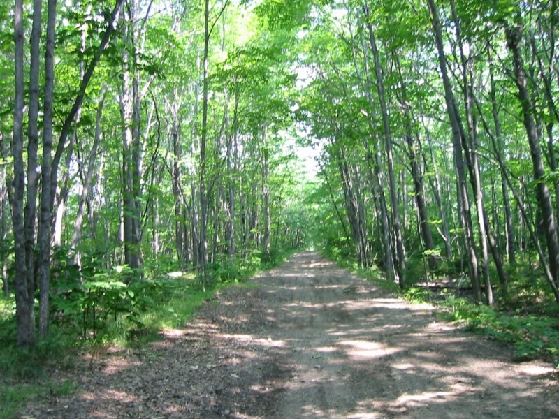
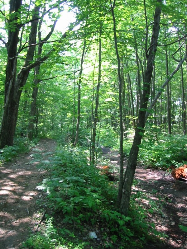
Long known simply as "Sandy Road" by Riverton neighborhood residents, this trail follows the former roadbed of the historic Portland-Lewiston Interurban Rail Line.
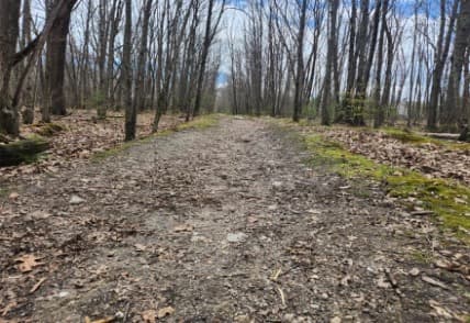
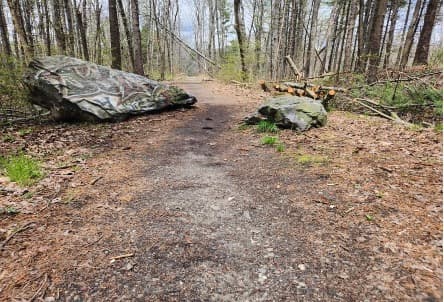
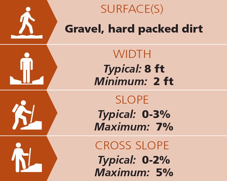
Cutting a straight line through rocky outcroppings and thick forest, the packed hard dirt and stone dust trail is typically 8 feet wide, flat (0-2% slope) with little cross slope, from Goodridge Road trailhead while it runs parallel to the train tracks. See Trail Access Information & Considerations below for more information about this Accessible Adventure.
From where the trail veers away from the tracks until it reaches the Milliken Street trailhead, it becomes narrower with some short steep sections with small sections of boardwalks.
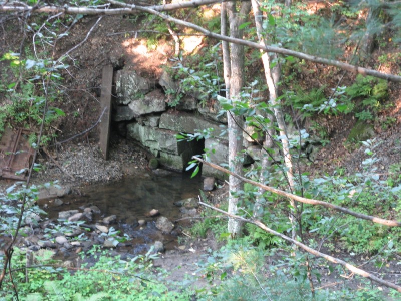
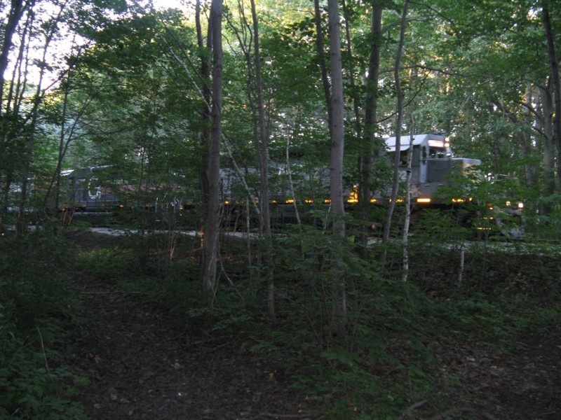
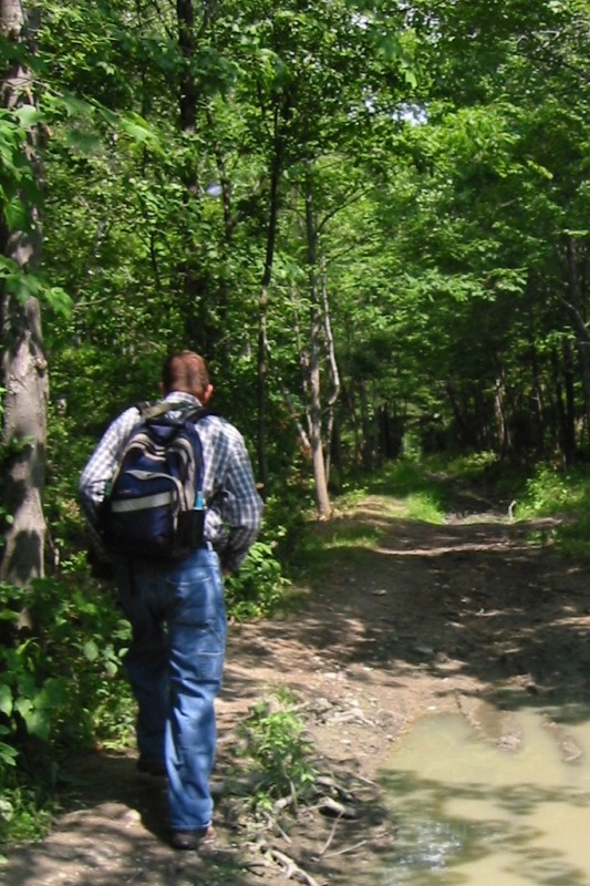
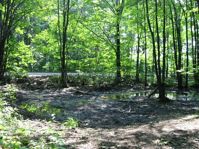
Most of the trail is accessible for those using wheeled mobility aids or strollers.. A still functioning rail line runs parallel to the trail for most of its length, and the sights and sounds of freight trains moving along the tracks often break the otherwise quiet atmosphere through the woods.
This trail serves as a flat straight offroad shortcut for those traveling by foot or bike between the Riverton neighborhood and Morrills Corner.
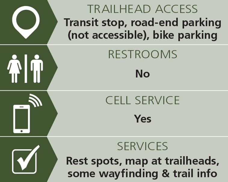
There are many trailheads along the length of this neighborhood trail. A few have maps and information.
It is unsafe and illegal to cross the railroad tracks.
Visit Portland Trails online for more information or contact:

From Forest Avenue/US Route 302, the trail can be reached via Wall, Libby, Harris and Newton Streets. The trail can also be accessed from Millikin Road off Riverside Industrial Parkway; and from Maggie Lane near Morrills’ Corner. Parking is available on city streets. METRO Bus Route 2.
Success! A new password has been emailed to you.