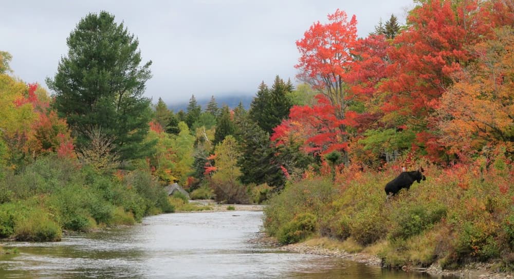
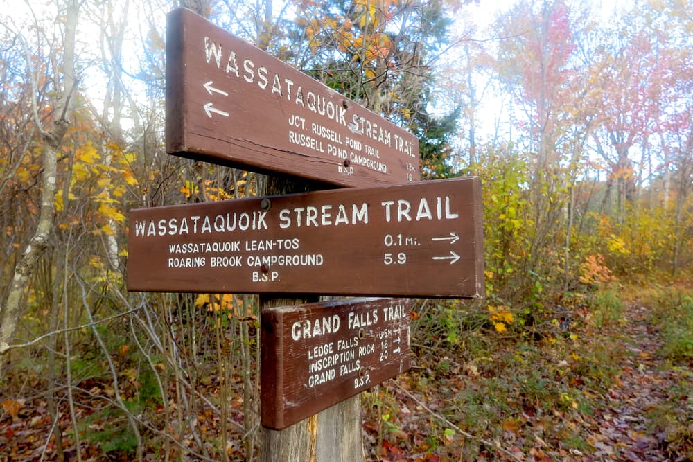
The Russell Pond Trail (7.1 miles) provides access to Russell Pond from the nearest road access at Roaring Brook Campground. It is primarily a valley trail, crossing just a few low ridges. From Roaring Brook Campground, the trail heads north, passing the junction with the Sandy Stream Pond Trail after a mile, and just after the junction, winds past Whidden Pond. The trail continues through the long balley between North and South Turner Mountains to the east, and Russell Mountain and the bulk of Katahdin to the west. After crossing over the South Branch of Wassataquoik Stream, it passes over the shoulder of Russell Mountain, then crosses Wassataquoik Stream via a ford. This ford of Wassataquoik Stream is typically knee-high, but can be dangerous at times of high water. The trail passes over Turner Brook before reaching Russell Pond.
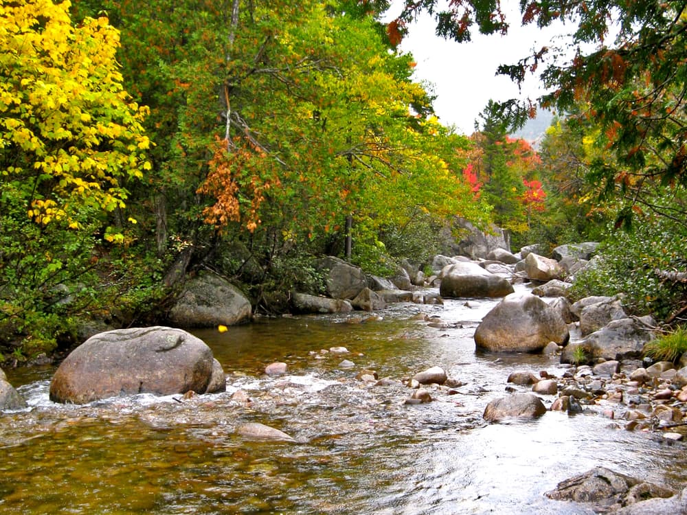
The Wassataquoik Stream Trail (3.9 miles) provides an alternate route between Roaring Brook and Russell Pond campgrounds. It leaves the Russell Pond Trail 3.3 miles north of Roaring Brook, and follows the South Branch of the Wassataquoik Stream downstream to a point near its confluence with the main stem of the Wassataquoik. Here a ford is required. Because of this ford, this trail should not be used during the high waters of spring or after a very heavy summer rain.
Two lean-tos are located on the south shore of the stream near the ford. Each has a 4-person capacity. North of the Wassataquoik Stream crossing, the trail follows the old Wassataquoik Tote Road. This leads north and west, soon passing through a series of old fields. These were associated with the New City, a large central logging and depot camp for the Draper operations of 1910-14. The fields have now reverted to young forest. The trail ends at a rejoining of the Russell Pond Trail, 0.4 miles from Russell Pond Campground.
For hikers traveling between Roaring Brook and Russell Pond, the Wassataquoik Stream Trail provides a means of creating a loop and seeing new terrain. The trail is only 0.4 miles longer than the less-scenic Russell Pond Trail, with little elevation gain or loss.
The fording of Wassataquoik Stream on both the Russell Pond Trail and the Wassataquoik Stream Trail can be very dangerous in high water, especially with packs. After prolonged rain or in spring run-off, or if there is any question about the water levels on the stream, hikers should check with a ranger regarding fording conditions before attempting a crossing.
Park Fees: See website for entrance and camping fees. [No entrance fee for Maine residents.]
Park Rules: See a more complete list here.
For additional information, visit the Baxter State Park website, or contact:

These trails are accessed from Roaring Brook Campground, which is reached via the Togue Pond Gatehouse (South Gate) of Baxter State Park.
From downtown Millinocket, travel 16 miles northwest on the paved Baxter Park Road to the Togue Pond Gatehouse, passing buildings and the Golden Road Crossing after eight miles. After entering the park at Togue Pond Gate, bear right and continue onto the Roaring Brook Road for 7.9 miles. Roaring Brook Road ends at Roaring Brook Campground. Park in the designated day-use lots (straight ahead) or overnight lots depending upon whether or not you are camping. The trailheads are located at the north end of the parking area near the Roaring Brook Ranger Station.
Success! A new password has been emailed to you.