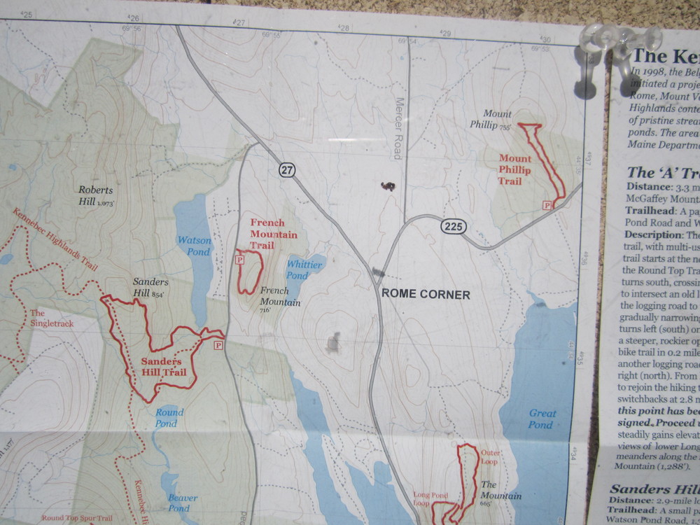
The trail system consists of various loops up The Mountain to the south and Quill Hill to the north, with trailheads and parking at both ends.
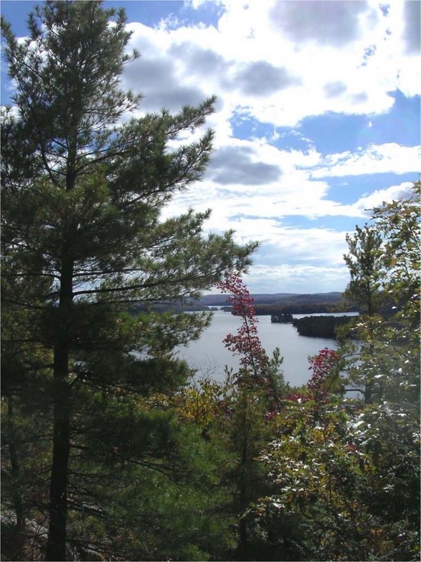
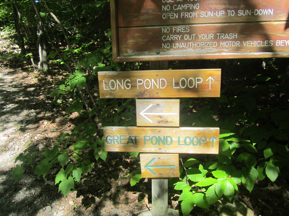
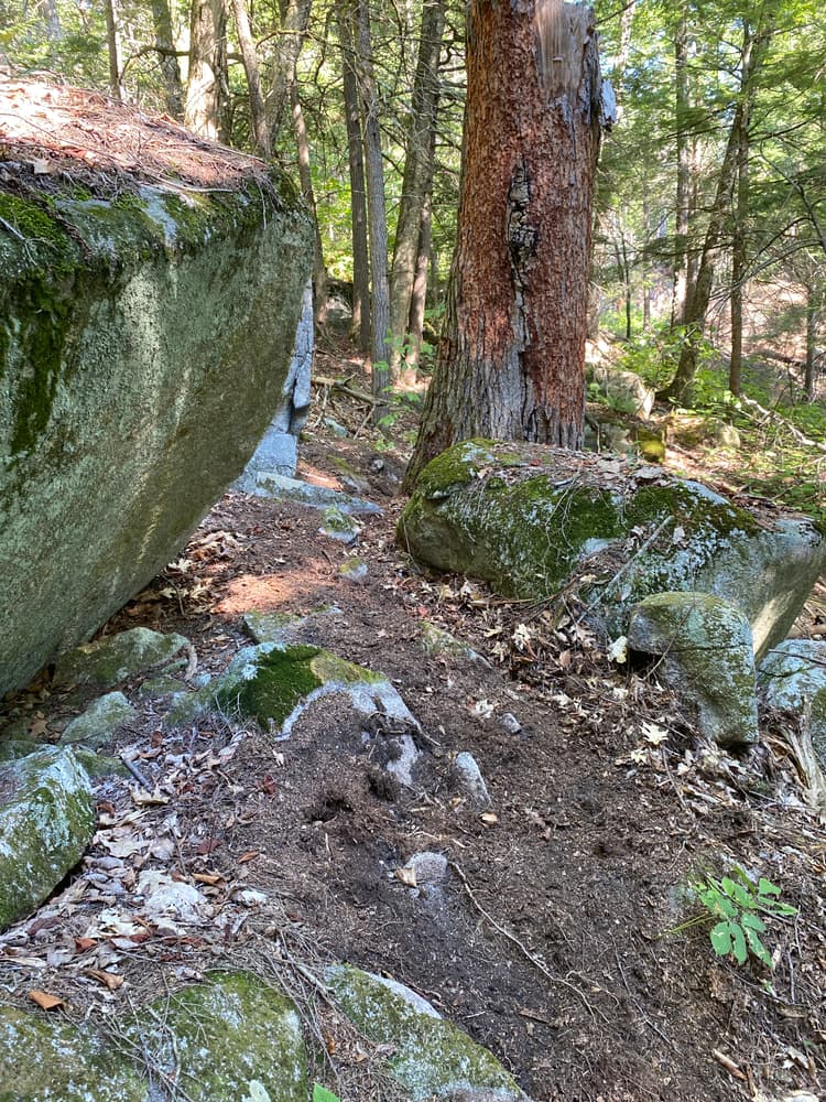
The Great Pond Loop (0.4 miles, green arrow) enters the woods on the right (east) 0.4 miles from the south parking area. The trail climbs as it winds through a glacial boulder field to a small open area—the highest point on The Mountain at 665 feet. The trail continues north and west, dropping down to rejoin the main trail at its end.
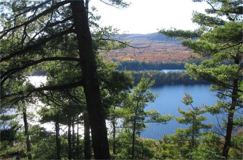
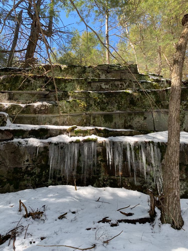
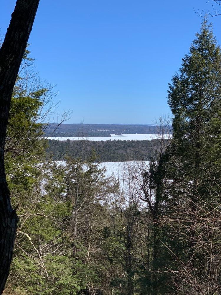
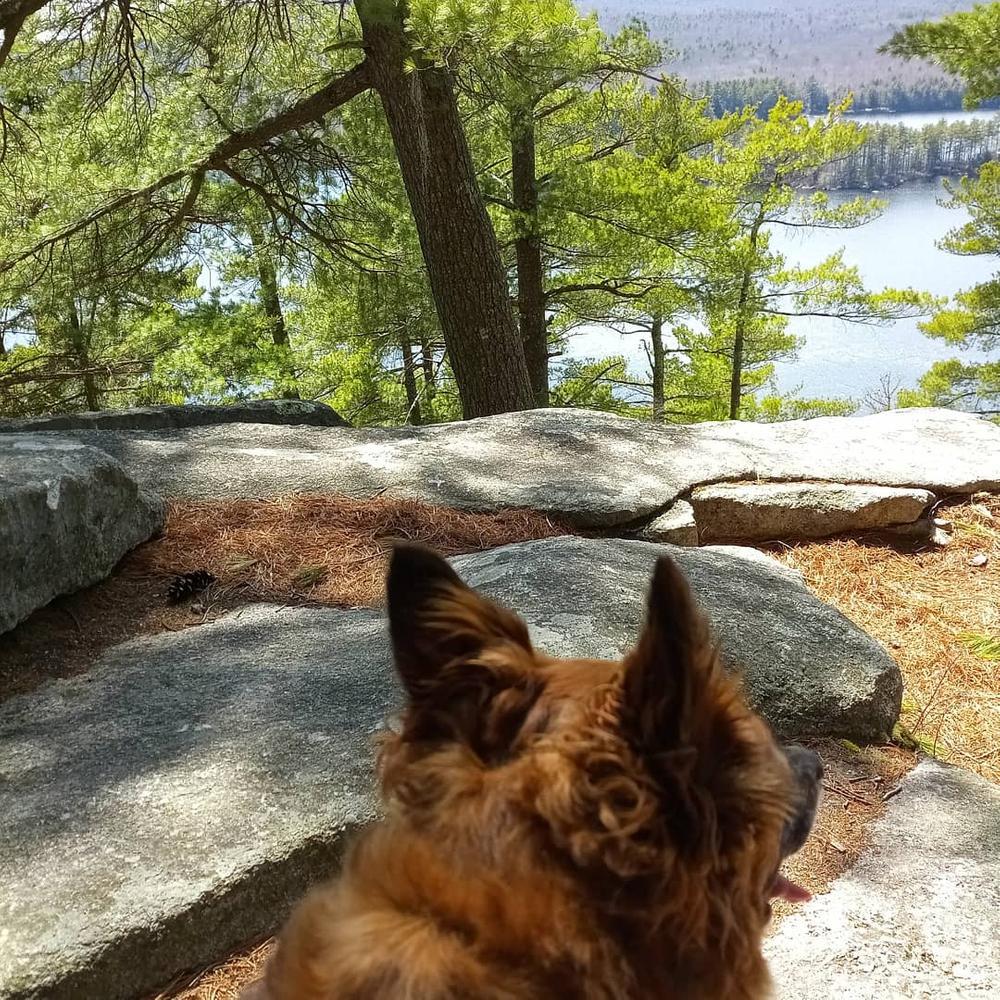
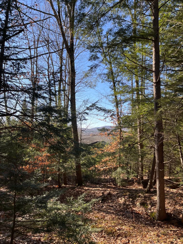
The Long Pond Loop (0.4 miles, white arrow) leaves the main trail on the left (west) side 0.5 miles from the south parking area. The trail descends moderately from the main trail and crosses several rock slabs and boulders before passing over a cliff with steep drop-offs and stunning views of Long Pond and the Kennebec Highlands. The trail then continues northeast to end at the main trail.
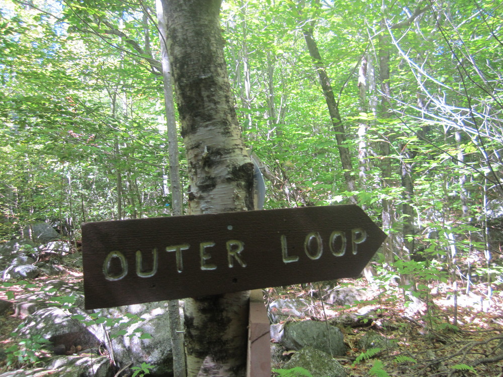
The Outer Loop (1 mile) is an existing road that transects the parcel and continues off site to the north, departing from the Main Trail about 150 feet from the summit of The Mountain. The loop heads north along the ridge before a short descent to the east, then returning south, roughly following the contours of the side of the Mountain, back to the Main Trail.
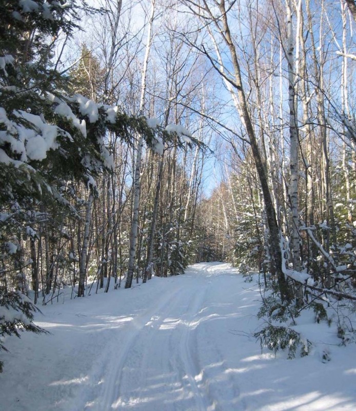
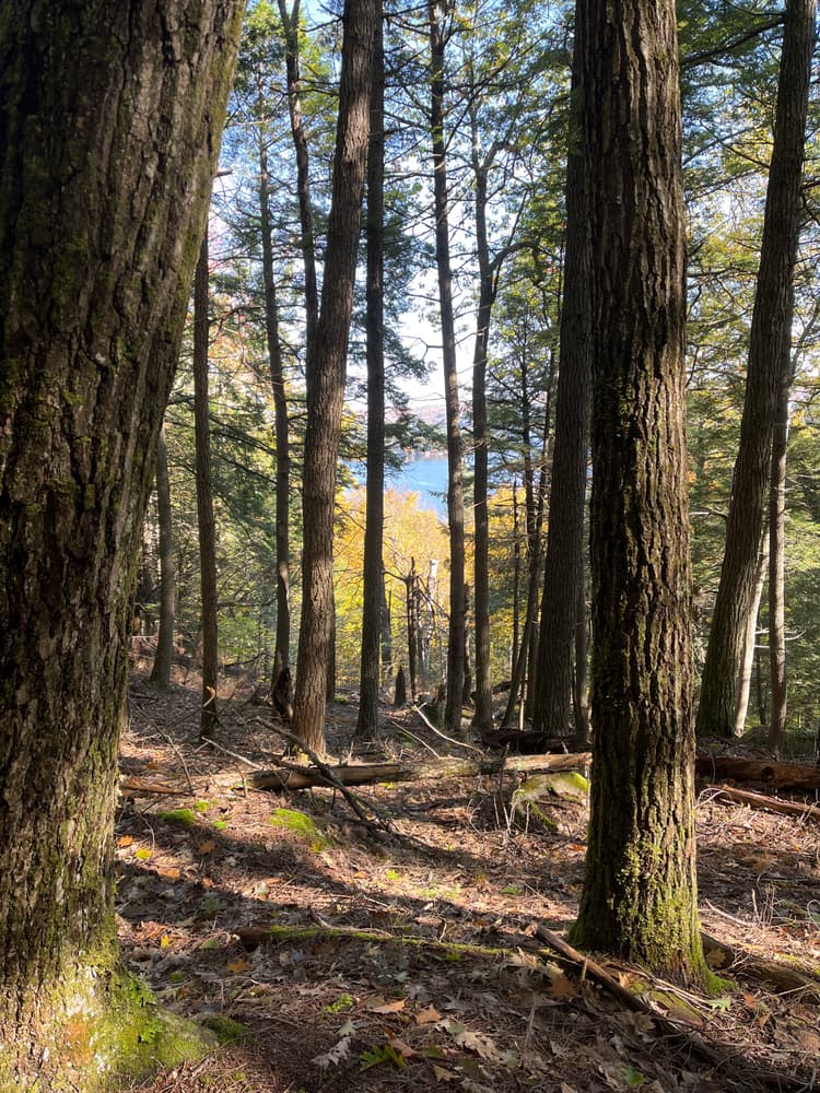
Quill Hill, situated just to the north of The Mountain, provides a unique opportunity for exploration of quiet forest and scenic meadows. With moderate grades, trails here are a good destination for all ages and abilities. During the spring and summer, listen for the calls for vireos and thrushes as you work your way through mature forests of hemlock, pine, maple, and birch. For a three-mile loop, follow the Quill Hill Trail up to The Mountain’s Outer Loop Trail, returning via the Lambert Trail and the Blaisdell Trail. Alternatively, begin your journey at The Mountain, and extend your hike northward to Quill Hill. While many of the trails on Quill Hill are suitable for snowshoeing and backcountry skiing, we recommend skiers avoid the Lambert Trail. Instead, use existing snowmobile trails to make a loop.
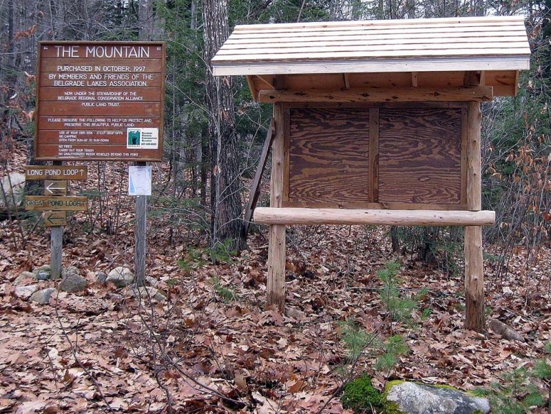
In 1998, Belgrade Regional Conservation Alliance (now the 7 Lakes Alliance), along with the Belgrade Lakes Association, acquired this 207-acre parcel on The Mountain. In 2011 they added another 41 acres North of the original parcel where a new trail will be installed.
Users should note that the main portion of the Mountain Trail is a multi-use trail allowing snowmobile use in the winter and horseback riders and mountain bikes all year. The loops are pedestrians only.
Visit 7 Lakes Alliance online for more information or contact:

The Mountain Trailhead (from the north): Drive 2.1 miles south on ME Route 27 from its intersection with ME Routes 225 in Rome and look for Mountain Drive on the eastern (left) side of the road. Turn onto Mountain Drive and continue 0.3 miles to the parking area and trailhead on the northern (left) side of the road.
The Mountain Trailhead (from the south): Drive north on ME Route 27 approximately one mile north of Belgrade Lakes Village and look for Mountain Drive on the eastern (right) side of the road. Turn onto Mountain Drive and continue 0.3 miles to the parking area and trailhead on the northern (left) side of the road.
Quill Hill Trailhead: From the intersection of ME-27 and ME-225 in Rome, head east on ME-225. After 50 yards, take the first right on Drury Lane. After 0.2 miles, turn left to access a parking area. Please note that there is no public parking off privately owned Lambert Lane. Please respect the wishes of the landowner utilizing the designated parking lot.
Success! A new password has been emailed to you.
Jonathan - Director of Land Stewardship - 7 Lakes Alliance