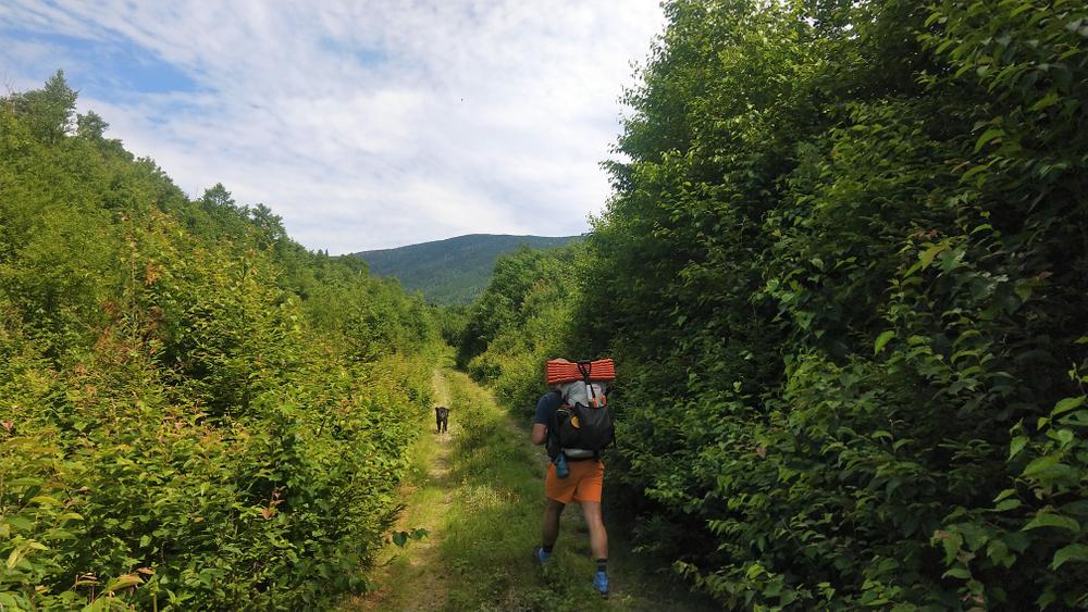
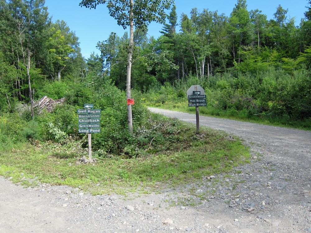
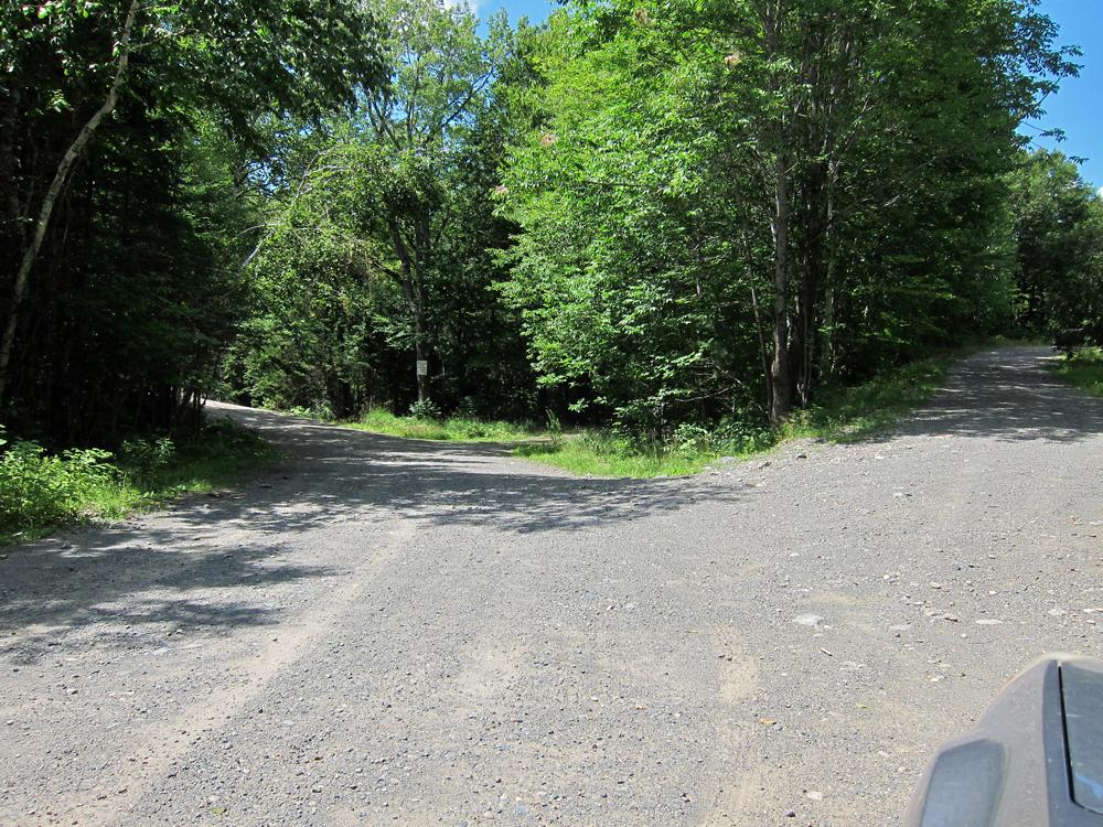
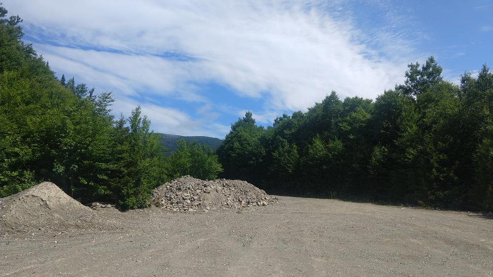
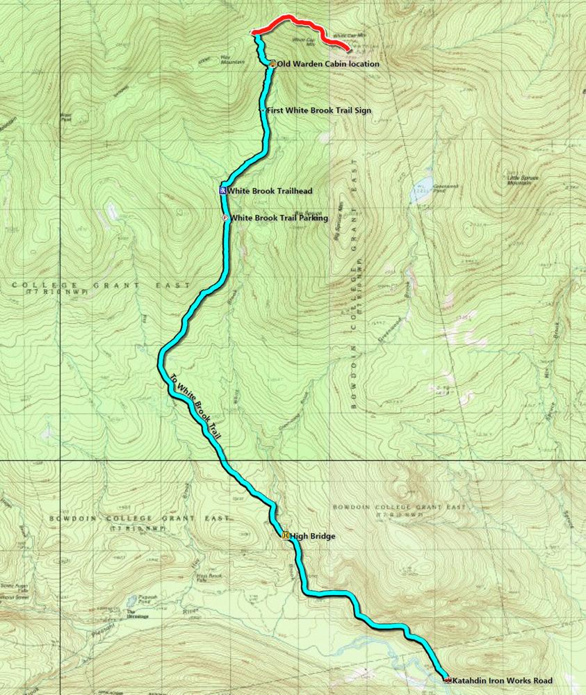
To get to the trailhead proper, there is a road walk of 2+ miles. The gate on Hay Brook Road will remain open during the summer season and vehicles are permitted to travel on it, but it is in poor condition and is only passable for about the first mile. Use caution and park on the side of the road if traveling beyond the gate. After the Hay Brook Road portion, the White Brook Trail follows the overgrown gravel road for the first 1.2 miles. This part of the trail, not marked with any blazes or signs, is due to be relocated so there has been limited maintenance. This section has a moderate uphill slope through a young hardwood forest.
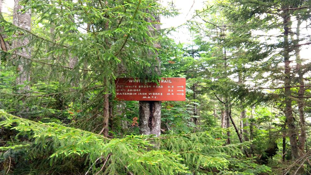
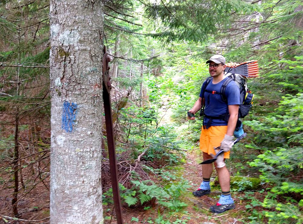
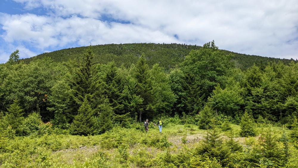
At the end of this road is a small opening where a sign on the left indicates the trail, which is blazed blue from this point to the Appalachian Trail. From this clearing it is 0.5 miles to where an old fire warden's cabin was located, 1 mile to the intersection with the A.T., and 2.1 miles to the summit of White Cap Mountain. As the climb progresses, the forest changes from a mixed growth, to a softwood forest of spruce and fir, and then to primarily balsam fir.
At the intersection with the A.T., turn right to go to the summit of Whitecap Mountain, the highest summit in the 100 mile wilderness. The trail increases in steepness the higher it goes, with hundreds of stone steps. The Maine Appalachian Trail Club's Trail Crew has spent countless hours over many years to install these steps and stabilize the trail.
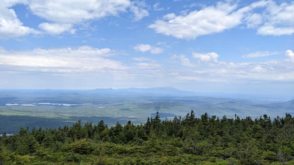
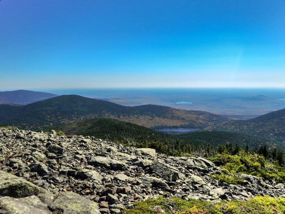
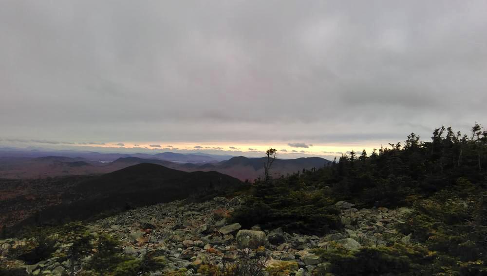
The summit rewards hikers with incredible views in all directions. To the south is the Barren-Chairback range, to the east is Greenwood Pond, Katahdin is to the north, and to the west Hay Mountain, West Peak and Moosehead Lake are visible.
Please stay on the main trail and established side trails in order to protect the fragile high-elevation vegetation.
For additional information, visit the Maine Appalachian Trail Club website, or contact:
Success! A new password has been emailed to you.