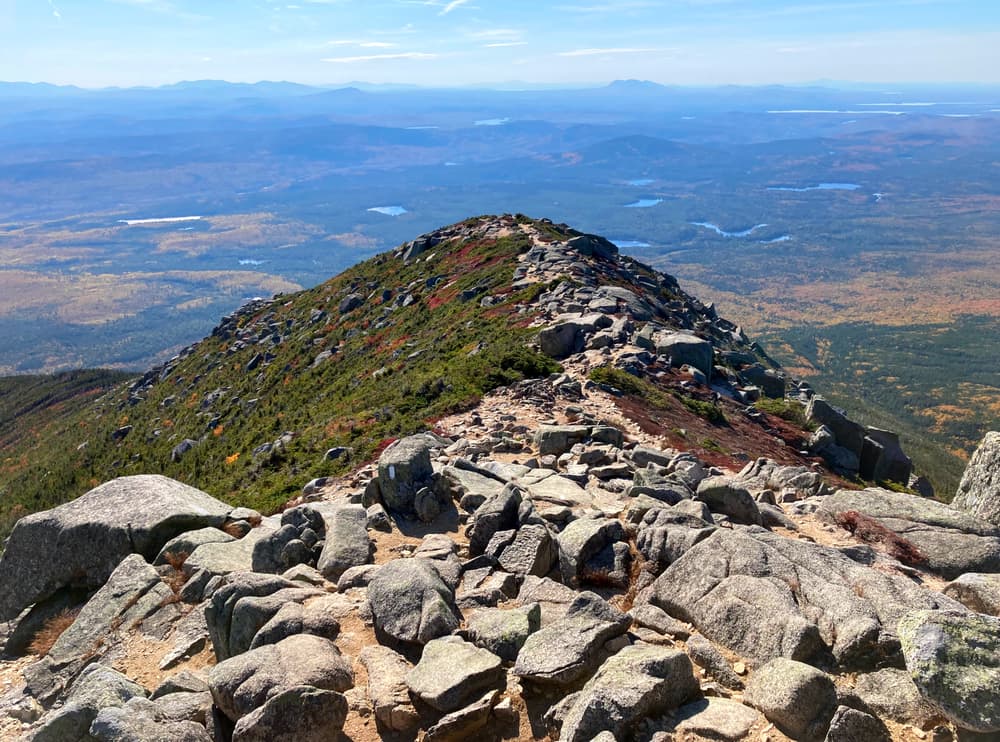
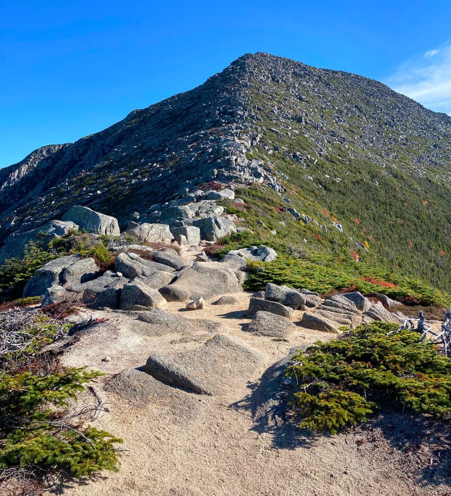
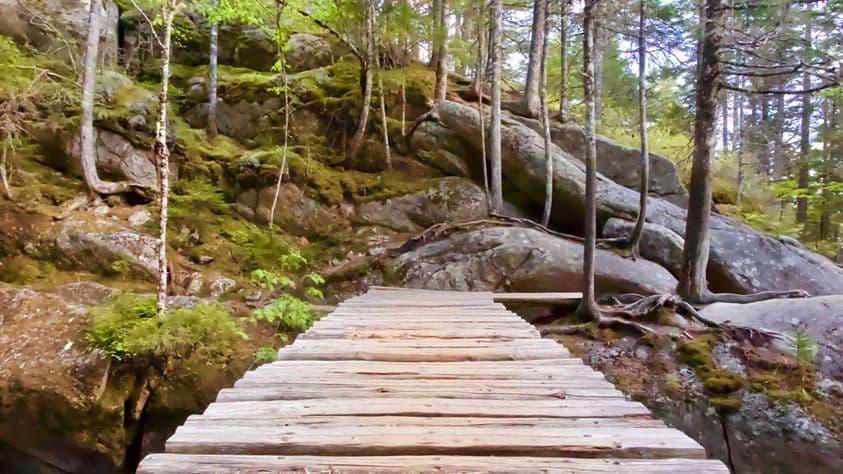
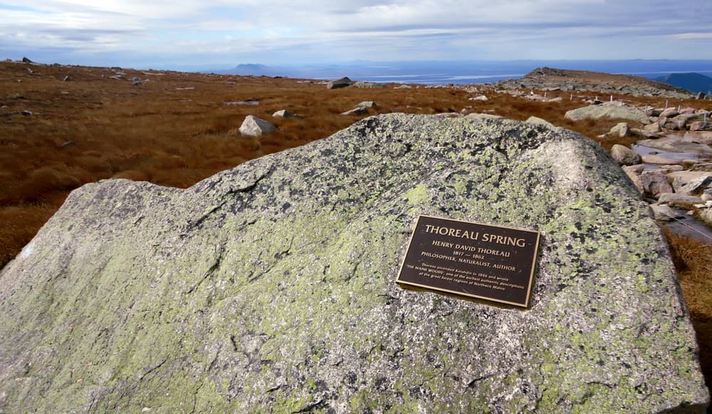
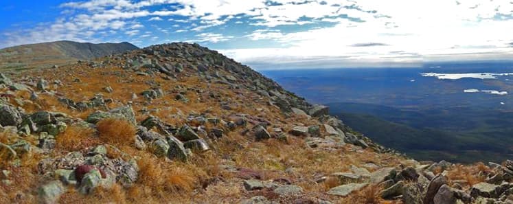
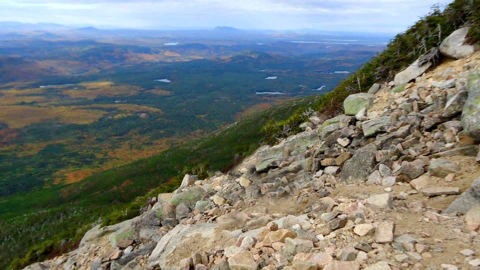
The Abol Trail (2.6 miles, 3,365 feet elevation gain) is the shortest route to Baxter Peak from a road, but has almost the same elevation gain as other trails to the peak. The trail formerly utilized the prominent Abol Slide that came down in 1816. The upper portion of the slide re-slid again in 2014, destabilizing an already hazardous route, so in 2015 the trail was relocated to the ridge to the west of the slide. Above the slide, the trail uses the original rock scramble route to reach the Tableland and cross on level ground to Thoreau Spring (not a recommended water source, as it is shallow and hikers walk through it), the end of the Abol Trail and its junction with the Hunt Trail. It is another mile and an additional 617 feet of elevation gain along the Hunt Trail from this junction to Baxter Peak (elevation 5,267 feet), the tallest peak of Katahdin.
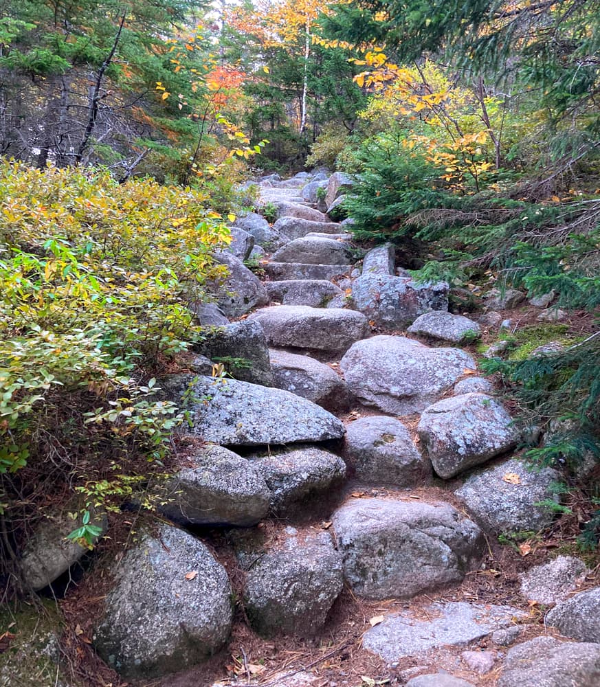
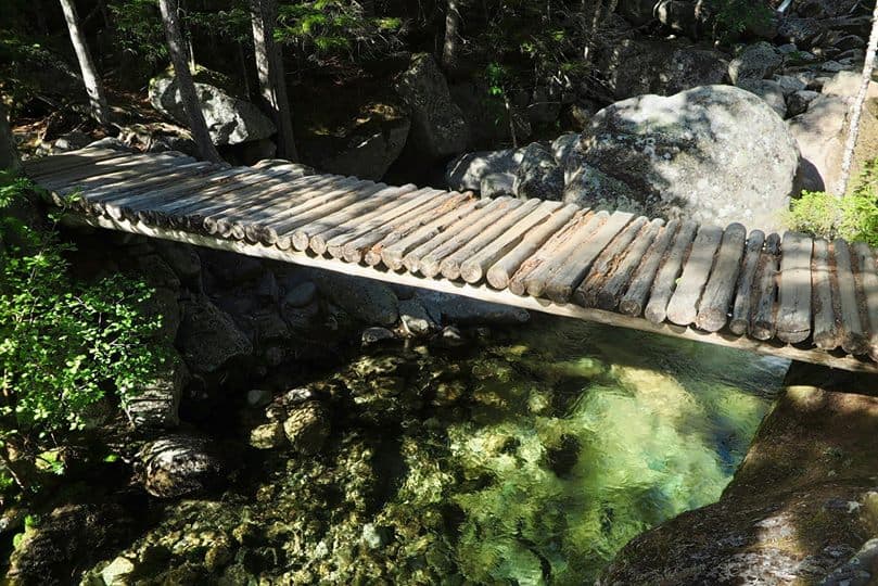
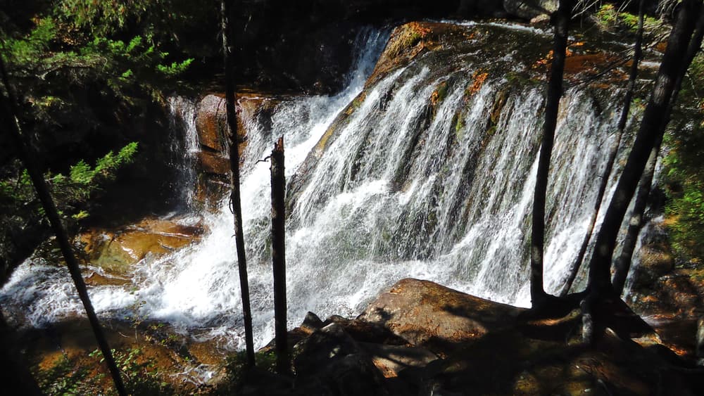
The Hunt Trail (4.5 miles, 4,188 feet elevation gain) is one of the more popular trails to the summit of Katahdin. It includes outstanding features along the way such as the picturesque Katahdin Stream Falls, the Boulders on Hunt Spur, the traverse of the Tableland, and extensive views along the final 2.4 miles of the trail above tree line. The trail was originally cut in the 1890s by sporting camp owner Irving Hunt, then partially relocated to its present route in 1934 by the Civilian Conservation Corps. This is a strenous 8-9 hour hike; Katahdin Stream Falls, located just 1.1 mile up the Hunt Trail, is a great shorter alternative. The 80-foot high waterfall is located in a deep mossy ravine, and is one of the best in the Park. The Hunt Trail coincides with the most northern stretch of the Appalachian Trail.
A long but excellent itinerary is to utilize the Hunt Trail and Abol Trail for a loop trip ending at Katahdin Stream Campground, where a car may be spotted. Water should be carried. This is an 8.3-mile, and likely nearly an 8-hour, hike, so an early start must be made. Walking along the Tote Road instead of spotting cars adds an additional 2 miles.
Please note: in the trail map, the white dotted lines depicted are the trails shown by the Google basemap and are inaccurate; the orange lines are the correct trails.
Park Fees: See website for entrance and camping fees. [No entrance fee for Maine residents.]
Park Rules: See a more complete list here.
For additional information, visit the Baxter State Park website, or contact:
Baxter State Park AuthorityLATE SPRING, SUMMER, EARLY FALL
From Millinocket, travel 16 miles northwest on the paved Baxter Park Road to the Togue Pond Gatehouse, passing the Golden Road Crossing after eight miles. After entering the park at Togue Pond Gate, bear left and continue onto the Park Tote Road. Abol Stream Campground, the trailhead for the Abol Trail, is 5.6 miles along the Tote Road on the right; Katahdin Stream Campground, the trailhead for the Hunt Trail, is another an additional 2.2 miles along the Tote Road from Abol Stream Campground (7.8 from Togue Pond Gate). Please park in the day-use lots. If these lots are full, these trails have met their daily maximum number of hikers, and you must seek another location to visit.
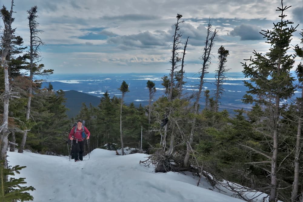
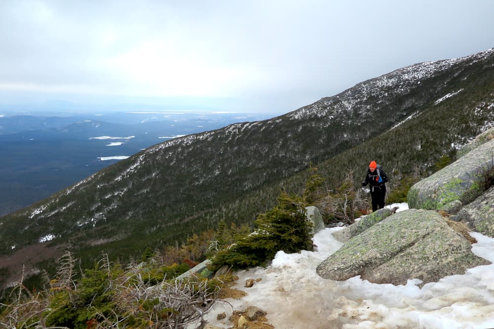
WINTER
Visit the Park’s website for information on the winter access to these trailheads.
Please note: If not camping at one of these locations, hikers parking at Abol Stream Campground for the Abol Trail, or Katahdin Stream Campground for the Hunt Trail, should obtain reservations in advance. The Togue Pond Gate opens at 6AM. If you have a parking reservation, it will be held until 7AM. If you don’t show up by 7AM, the spot becomes first-come, first served at that time.
Success! A new password has been emailed to you.