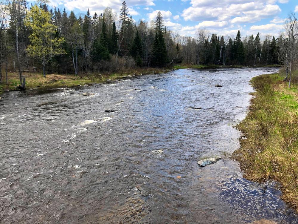
The river runs gently for the first 8 miles, passing the Forks of the Machias (South Branch joins the North Branch here) to a site where there used to be an old log driving dam, parts of it which are still visible. This old damsite marks the beginning of gentle class 1 and 2 rapids that run nearly continuously to Ashland. Several camps are visible on this section of the river.
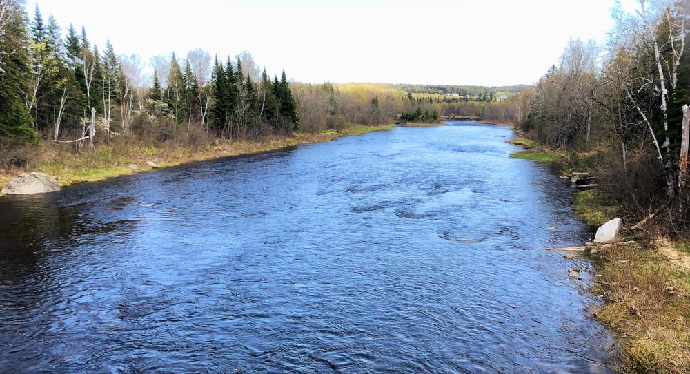
As Ashland approaches, the rapids intesify near Garfield Bridge to a bit to a more vigorous class 2 (at medium water level). Below this bridge the rapids diminish, and the Machias River soon reaches the Aroostook River, a broad, smooth flowing river with a strong current. The take-out is just downstream of the Ashland Bridge on the right, where there is a public boat launch.
This section of the Big Machias River can easily be combined with the Big Machias Lake to Pinkham Bridge section, paddling from Big Machias Lake to Ashland, roughly 33 miles. If you do this trip with camping gear in your boat use caution at the “Roaring Bulls,” the class 2 section not far downstream of Big Machias Lake.
For additional information, visit the Aroostook County Tourism website, or contact:
Aroostook County TourismPUT-IN AT NORTH BRANCH MACHIAS CAMPSITE
From the ME-11 bridge over the Aroostook River in the center of Ashland, head west on Garfield Road for 0.6 miles, then bear right onto American Realty Road. Go 5 miles on American Realty Road then bear left onto Pinkham Road (by the Maine North Woods Checkpoint). Go 5.1 miles to a Y in the road, and stay to the right at the Y. Continue 2.9 miles to the bridge over the Machias River. Just before the bridge on the left (the southeast side of the bridge) there is a road that leads about 0.1 miles to the North Branch Machias Campsite, the best location to put in/take out. Please note there is not good access to the river from Pinkham Bridge itself.
TAKE-OUT IN ASHLAND
From US-1 in Presque Isle, head west on ME-163 for about 19 miles. In Ashland, head north on ME-11. Go 0.3 miles from ME-163 and turn left to stay on ME-11. Continue another 0.7 miles to the driveway for the Fish and Game Club on the right, just before (on the east side of) the river. Continue past the picnic pavilion and the Club building another 0.2 miles to the public boat launch.
Success! A new password has been emailed to you.