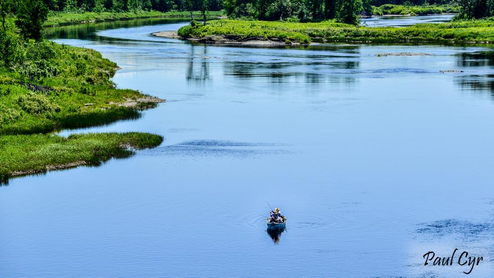
An easy trip of mostly flat water and some minor rips, with pleasant views of farms and woodlands, an eagle nesting site halfway along the route, and good fishing through early summer. In low water in late summer, stretches of river will require some dragging, and opportunities to try your poling skills.
Below the bridge by the put-in, the river quickly widens and splits around nearly a dozen low, brushy islands. The river is shallow here and is regularly re-shaped by the violent forces of flood-borne ice during spring. Tree bark is scarred on the upstream sides, and crushed woody vegetation and small log jambs on the lower islands are visible evidence of the annual scouring. In medium and high water, most routes through these islands are passable. In lower water, canoes should hug the northern (left) shore where the channel is slightly deeper. Ospreys often hunt the shallow pools below the riffles here.
At Crouseville, 3 miles from the put-in, the river swings due east and the flows quicken. Some small rips precede the approach to the high rail trail bridge. The deepest channel at the bridge is just right of center. Below the rail bridge, the river takes a hard right and slows. Look for nest holes of Belted Kingfishers and Bank Swallows along the high sand banks of the south shore.
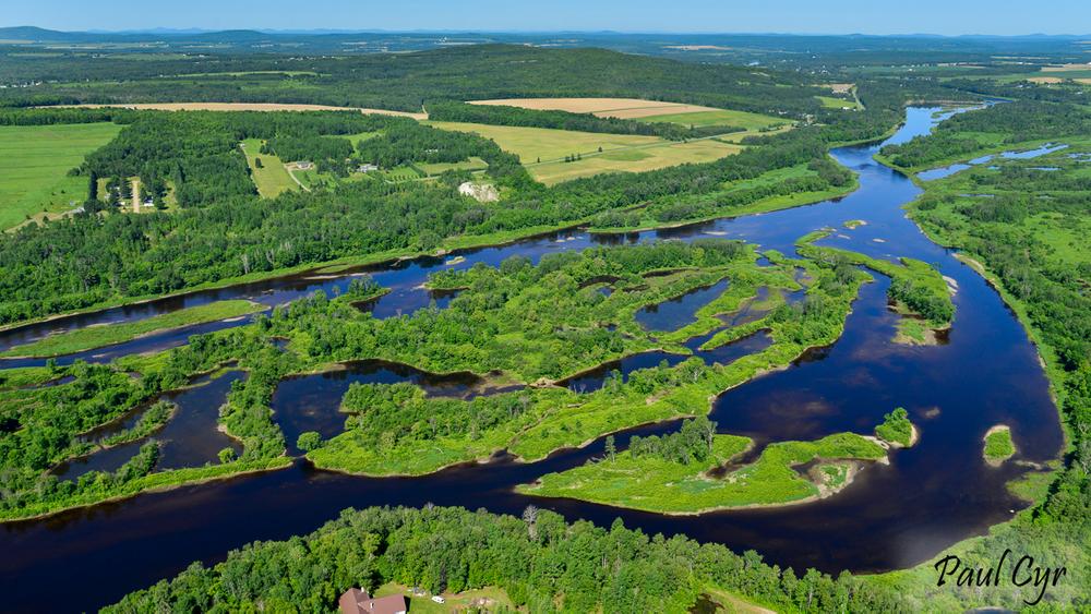
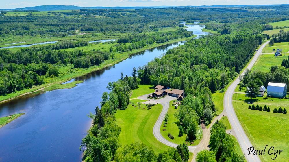
The channel further narrows and the current picks up, but the river remains flatwater. At 6 miles the river again divides around a number of low islands. The islands are dotted with shallow wetlands and multiple backwater channels that make it attractive to ducks, geese, and other water birds, and a fun area to explore if time allows. The left-hand channel winds more than the right, but is quiet and offers good opportunity for wildlife viewing.
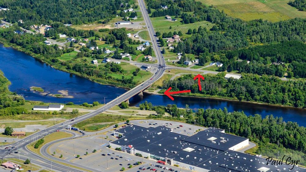
The river combines temporarily before splitting again after the Presque Isle Fish and Game log clubhouse on the west shore. Either side of the nearly mile-long island is passable at most water levels. Stay left on the approach to the US-1 bridge at Presque Isle. The take-out is a boat launch on the left, below the bridge.
The USGS River Gage for the lower Aroostook River is located just upstream of the boat launch. Flow and river level data can be accessed online.
For additional information, please visit the MaCKRO website, or contact:

![]()
PUT-IN AT WASHBURN
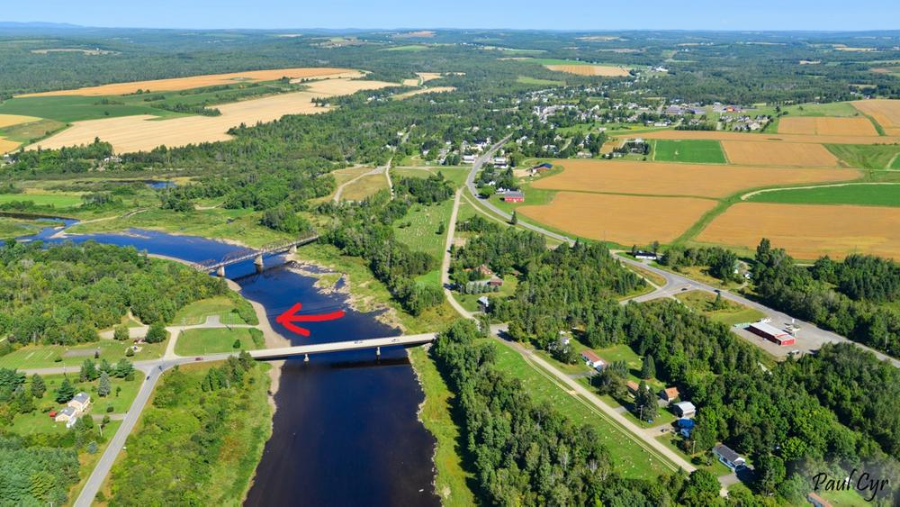
From US-1 in Presque Isle, head west on Parsons Road Connector. Go 0.5 miles and turn right onto Parsons Street. Follow Parsons Street along the west side of the Aroostook River for 9.3 miles, then continue straight across Castle Hill Road to the driveway and parking area for the boat launch, just upstream of the Aroostook River Bridge. This boat launch is a popular recreation location with a small town park, picnic area, and access to the Aroostook Valley Rail Trail, but there is plenty of parking.
TAKE-OUT AT PRESQUE ISLE
Head north on US-1 through Presque Isle. Take the first right after the bridge over the Aroostook River to the boat launch, just before Reach Road.
Success! A new password has been emailed to you.