Maine Trail Finder isn’t just a great tool to help you plan your next Maine adventure. With a free user account, you can log which trails you’ve completed, upload photos, and track your mileage, creating a digital history of your trips. In this blog series Faces of Maine Trail Finder, we’re sharing the stories of people who have been using Maine Trail Finder in standout ways – logging hundreds of trails, submitting anecdotes from their adventures, and uploading stunning photographs of their trips. We hope their stories inspire you to get out and explore Maine with the help of Maine Trail Finder!

Name: |
Gary Janson |
Where you live: |
North Waterboro, Maine |
FAVORITE TRAILS: |
Timber Point, Biddeford Eastern Trail from Biddeford to Kennebunk East Point Sanctuary, Biddeford Pool |
I did a lot of cycling when I was younger, but hiking is easier to carry a camera with you. On foot is the best way to get nature photos, too. You're not making as much noise as when you're going along on a bicycle.
I see pictures of some of the trails before I go out, and they look interesting, so I want to explore. But once you get on a trail, you kind of get that feel for what explorers felt. You feel like an explorer when you go on a trail for the first time. I want to see what's around that corner. What’s the view like at the top of that hill? That's the kind of thing that keeps me walking.

Quite a while! I grew up in central Maine, and I lived on the edge of the woods. When I was in college, I was a park ranger in the summertime, so I had a pass to all of the state parks in Maine. That led to more exploring. Before the Internet, one of the things I used a lot was the DeLorme Atlas. It has a lot of great destinations in it, so that was another way I would find new places to explore.
About 10 years ago, I started a Facebook group called the Rediscoverers Club. I called it that because, in Maine and coastal New England, a lot of people have moved here from somewhere else. They're not living now where they grew up. If I go on a new trail, I'm rediscovering something that the locals already know about. My job sends me all over southern Maine and New Hampshire. As I drive, I am constantly seeing trailheads and kiosks that look interesting but don't always show up in Internet searches of where to go. That’s why I'm sharing my hikes with people. It's also a big reason for my photography. I want to get people excited to go on these trails and show them what you can see on them. That's the best way to get people hooked!

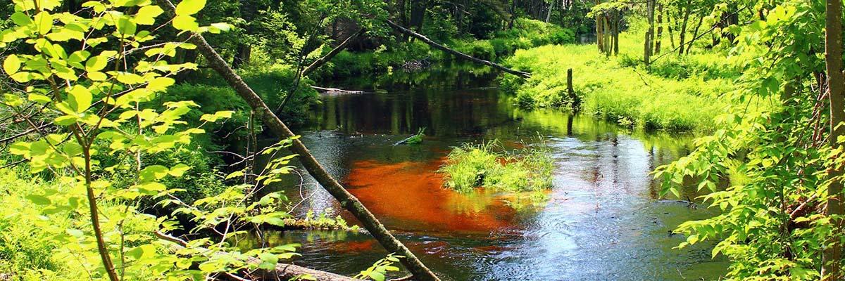
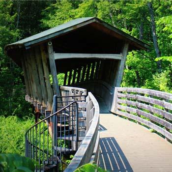
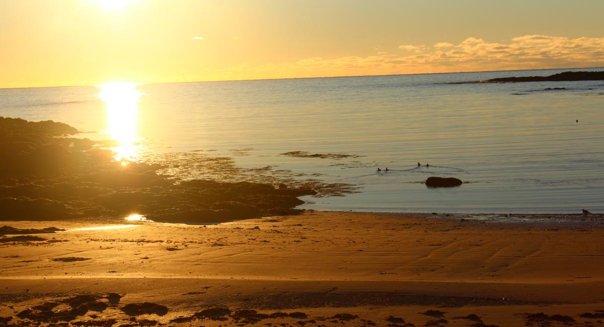
As a photographer, one of the things I love the most is finding different ways to photograph water. That's what always makes the scene interesting. I look for places where there'll be a good stream, or a cool bridge across the water, or the ocean. Usually, when there's water, there's other life too. Often at these places, you'll see a variety of bird life, and great foliage, depending on the time of year.
Maine Trail Finder has good maps, which helps to plan. Finding out about the length of the trail, the parking areas, that kind of information is helpful because sometimes the information available at the trail isn’t enough to help you navigate the area easily.
Maine Trail Finder is a great place to start. The Maine Land Trust Network also helps you identify land trusts in your area so you can learn more about their properties. Also, keep an eye out when you’re on the road for kiosks and other trailhead signs.
Follow Gary's latest adventures on his Facebook page, The Rediscoverers Club.
Want to start a digital log of your Maine adventures?
Create a free Maine Trail Finder account and start logging trails today!
Success! A new password has been emailed to you.